Dalton Highway: Fairbanks to Deadhorse & Prudhoe Bay, Alaska . . . and back
(200km north of Arctic Circle)
July 27th to August 6th
| Day # | Date | Description | Link |
| 51 | July 27th | Depart Fairbanks & proceed north on the Steese, Elliot & Dalton Highways |
|
| 52 | July 28th | Dalton Highway - Atigun Pass |
|
| 53 | July 29th | Dalton Highway - Franklin Bluffs |
|
| 54 | July 30th | Dalton Highway & arrive in Deadhorse/Prudhoe Bay |
|
| 55 | July 31st | Tour Prudhoe Bay & dip into the Arctic Ocean before heading back south |
|
| 56 | August 1st | Dalton Highway |
|
| 57 | August 2nd | Dalton Highway |
|
| 58 | August 3rd | Dalton Highway & arrive in Fairbanks |
|
| 59 | August 4th | Chena Vista SRA, Fairbanks |
|
| 60 | August 5th | Chena Vista SRA, Fairbanks | |
| 61 | August 6th | Riverview RV Park, North Pole |
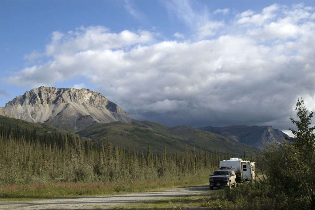
July 27th - Depart Fairbanks and head north - Finger Mountain [top of page]
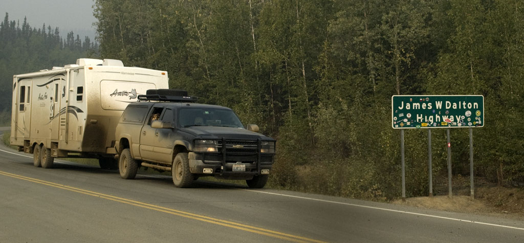
Here we are at the beginning of the "Haul Road", the Dalton Highway.
Unlike the other public roads we've driven, the Dalton is a private haul road for Alyeska. It's only in recent years that the public has been allowed to drive the full length of it. Even today, it is definitely NOT encouraged.
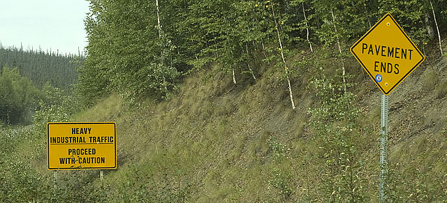
Yep, end of pavement for a while.
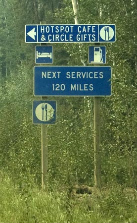
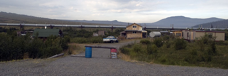
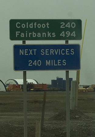
Coldfoot is the only place that has any services of any kind between here and Deadhorse.
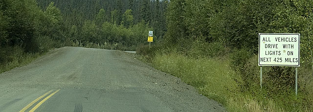
The usual understatement.
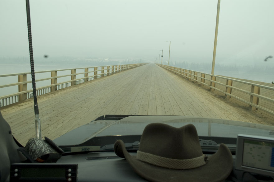
The wood-decked bridge across the Yukon River. There are two things you can't see in this photo. One is the Alaska Pipeline on the right side of the bridge. The other is that the bridge is also a serious grade, perhaps 6%. I can't imagine trying to cross an ice covered wood-decked bridge that's also a steep grade. If you start sliding you won't stop for a long time.
Oh oh! VERY bad news on the Dalton.
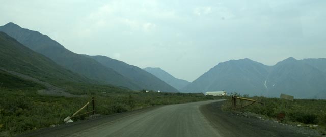
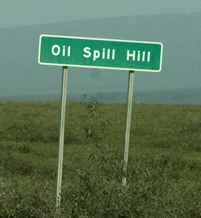
Makes you think this place has a lot to offer, huh? Wait till we visit it on the way back.
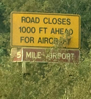
The runway parallels the road, so the road is closed when a plane is about to take off or land.
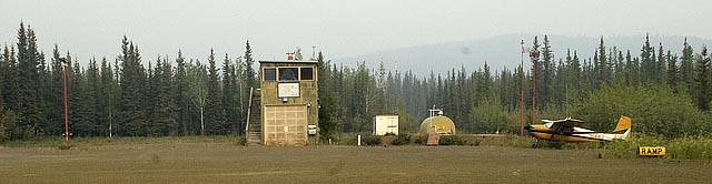
A bush airport with a tower. Even so, just one small bug smasher.
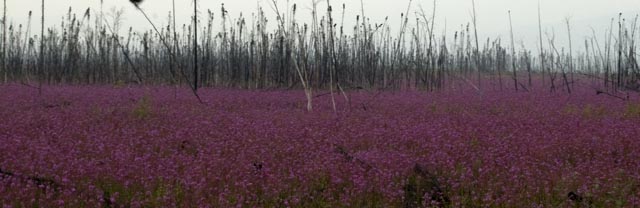
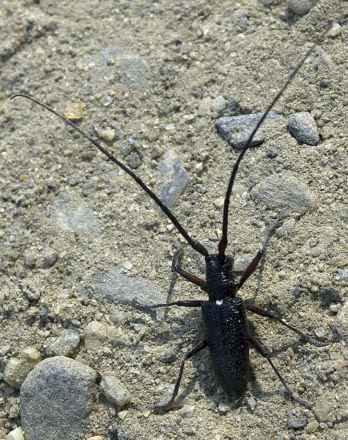
Fireweed
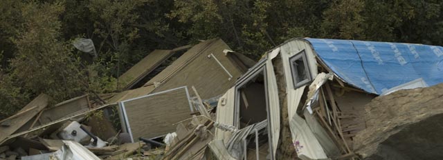
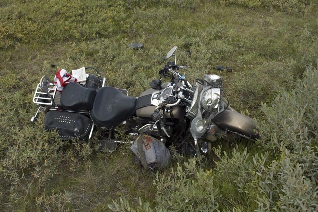
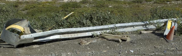
Wrecked RV on the side of the road.

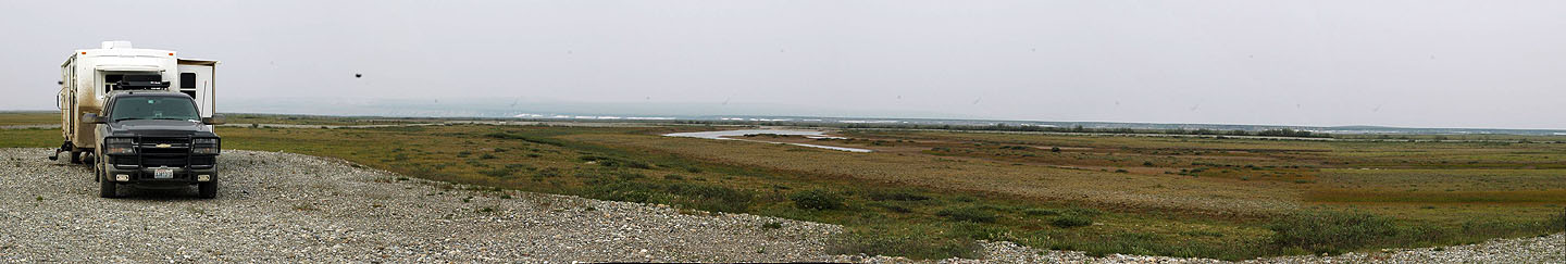
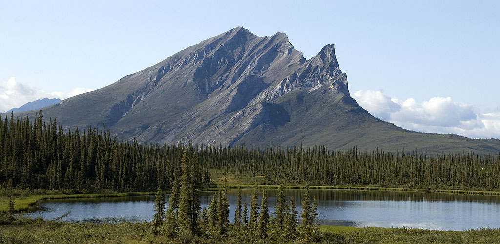
Gracie joins me on a walk up the rock formation at Finger Mountain rest area.

From the top of the rock formation we can see the rest area with Finger Mountain in the left background. Mountain is a bit of an exaggeration. Finger Rock would be more accurate as it's only 40' high. You can also see where we spent the night. We found out much later that camping isn't allowed here. Oh well.
July 28th - Dalton Highway - Atigun Pass [top of page]
Interested in some income property in an out of the way location? Have we got the place for you. Just a few miles south of the Arctic Circle, you're bound to get some of the folks that make the run from Fairbanks up to the Arctic Circle. I'm sure that's what these folks thought.
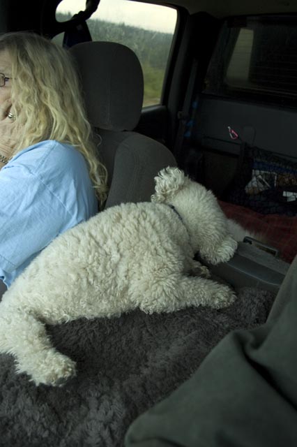
Bo'sun in one of his favorite positions; hunkered down between CJ and the center console arm rest.

The sign to the park at the Arctic Circle.
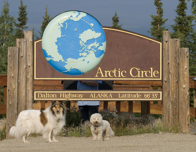
Gracie & Bo'sun pose in front of the Arctic Circle while CJ poses behind it.
By the time we got into the picture the dogs were bored and on to other things.
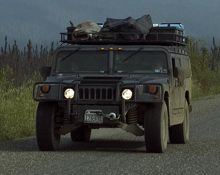
The Humvee is probably a good choice for driving this kind of road--assuming you can stand the noise inside one--but this one looked like a hodge-podge collection of gear rather than a well-organized expedition vehicle.
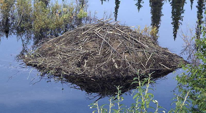
This beaver lodge is so close to the highway at Douglas Creek you can almost jump to it. Too bad we didn't drive by in the evening.
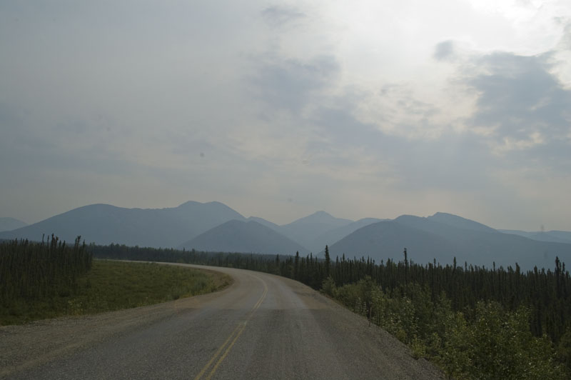
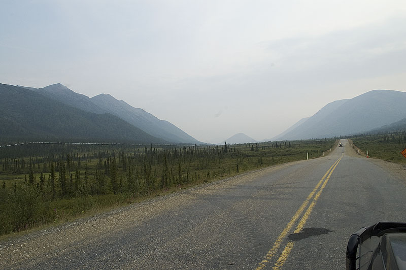
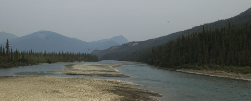
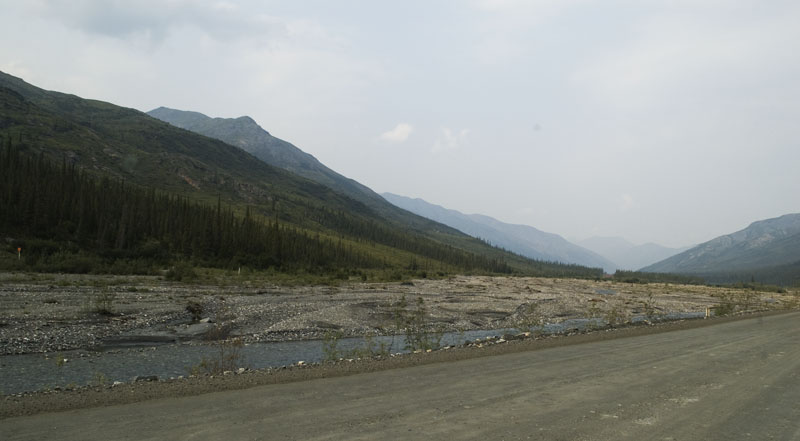
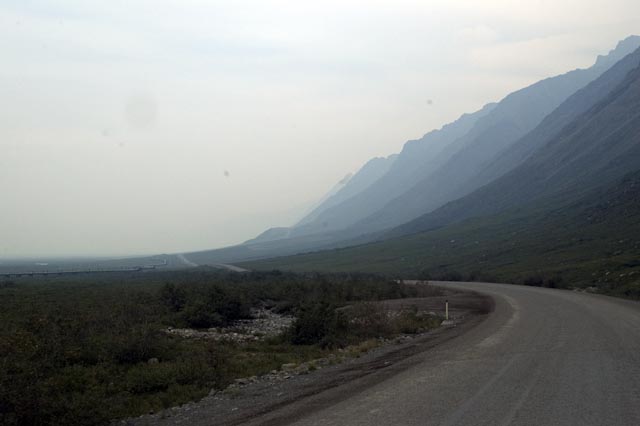
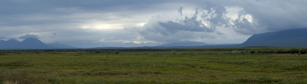
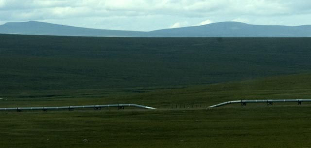
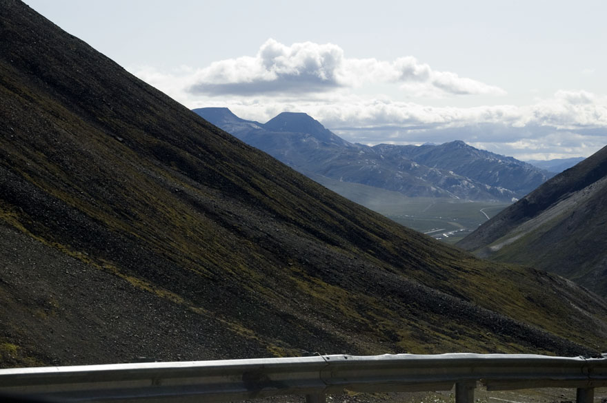
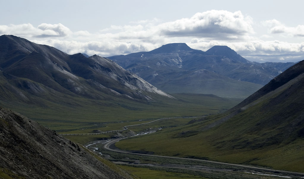
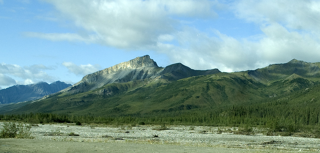
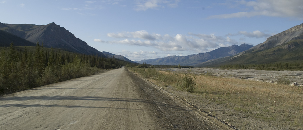
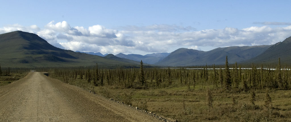
Here are five photographs of the scenery along the Dalton on our way to Coldfoot.
Tundra & mountains. Lots of both.
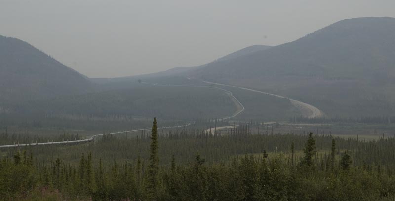
Plus the pipeline and the haul road.
And assorted streams, creeks and rivers.
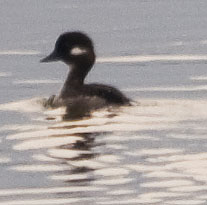
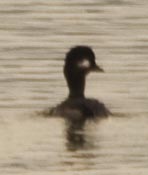
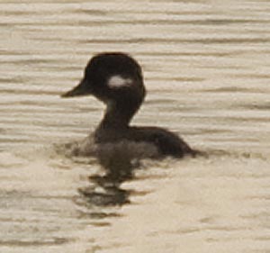
Bufflehead Ducks
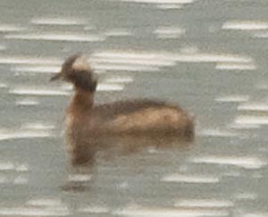
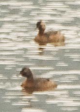
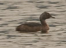
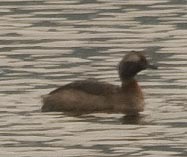
I haven't figured out yet what kind of ducks these are.
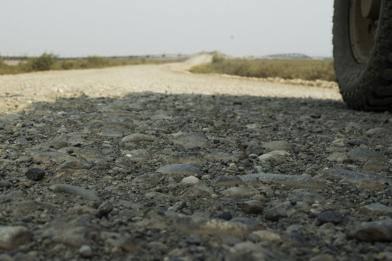
Most of the haul road is built on top of several feet of gravel to insulate the permafrost below from the warmth of the road. If the permafrost melts, the place becomes a swamp and the road sinks into oblivion.
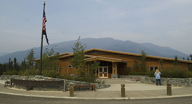
The Arctic Interagency Visitor Center in Coldfoot.
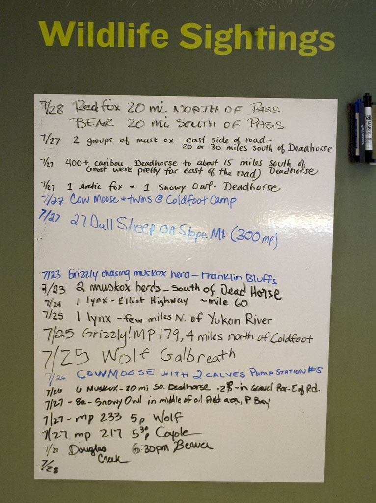
Plenty of wildlife to be seen, although the tricky part is to be where the wildlife is when it's there and visible. Even a large animal like a bear or moose disappears after just a few feet in the forest or tundra.
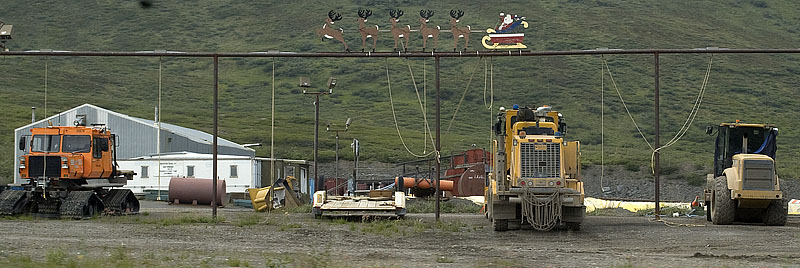
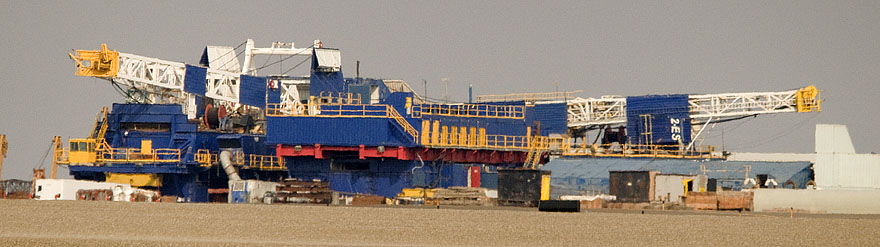
The pipeline construction camp at Coldfoot. We fueled up here on the way north.
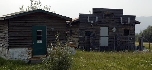
A couple of old mining cabins at Coldfoot.
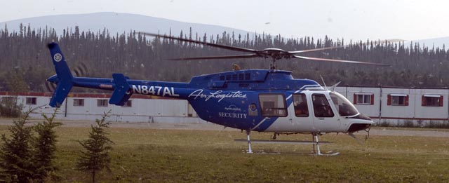
This Alyeska pipeline security helo landed while we were fueling up.
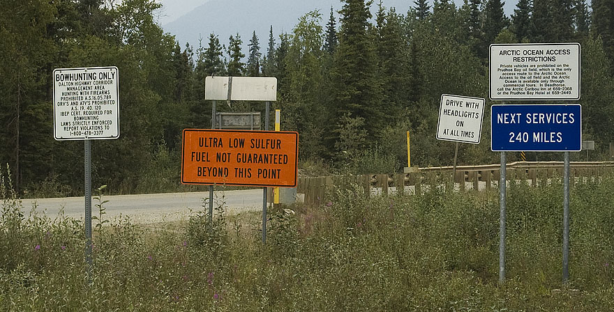
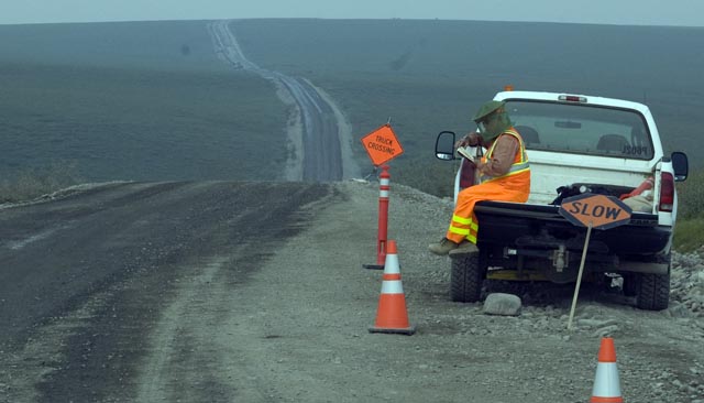
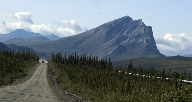
The road north out of Coldfoot has enough cautionary signs to make an attorney smile.
One of the rivers we crossed.
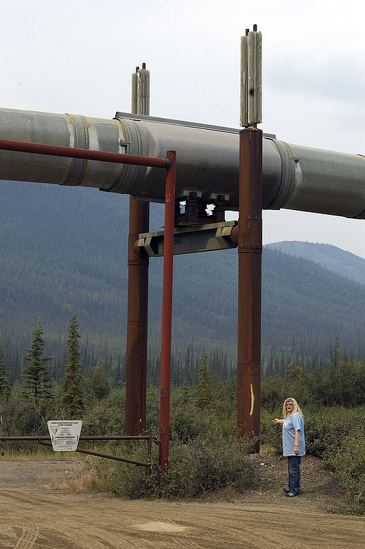
CJ stands near a section of elevated pipeline. The pipeline is free to move around on the support as it expands and contracts. The fin devices on top are part of a passive refrigeration system that cools the permafrost around the support towers so that it doesn't melt.
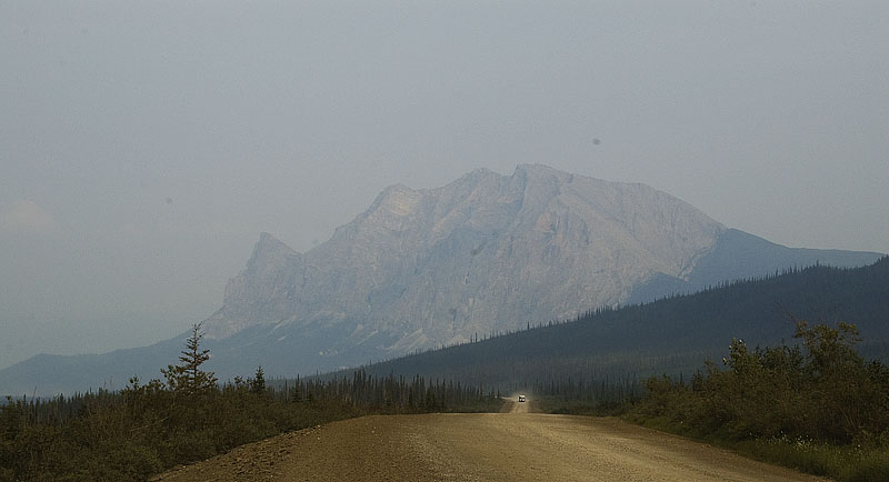
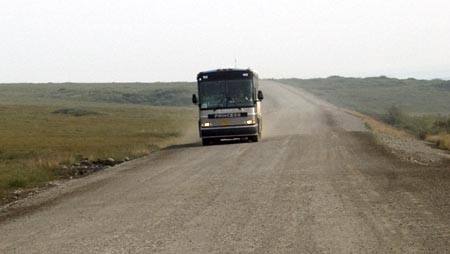
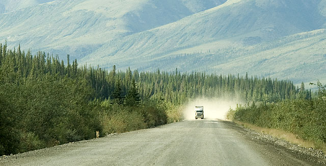
Mountains, road and trucks. Oh yeah, the trucks. Lots of trucks make the run up the haul road.
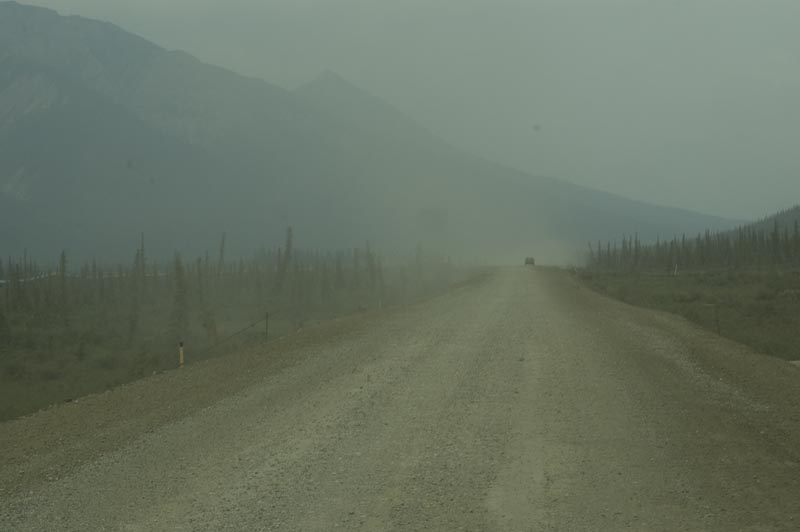
The road's a tad dusty here.
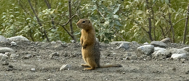
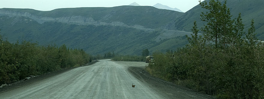
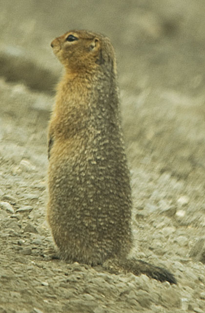
There are almost as many Arctic Ground Squirrels as mosquitoes. OK, not that many.
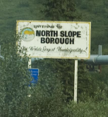
The North Slope Borough might be huge - but if no one lives there, who cares?
A precursor to the Atigun Pass. We went up it slowly in 2nd gear and nearly dropped to 1st gear.
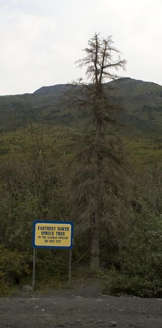
Some jerks cut the bark around this old spruce & killed it, but it still stands as the most northern tree on the Dalton. It's not very large, but it's over 200 years old. Life is very hard up here.
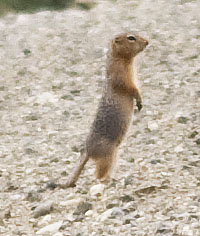
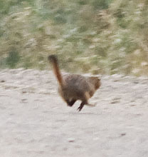
Another Arctic Ground Squirrel risks his life crossing the road. That grade ahead is definitely steep.
The gate at the south end of Atigun Pass.
The road maintenance equipment at the south end of Atigun Pass is lined up along the 'bull bar' where it can be plugged in and kept warm with electric heaters.
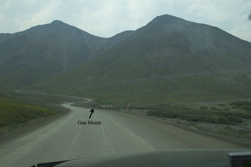
Atigun Pass ahead. Note the gun mount for the artillery guns used for avalanche control.
We stopped near the gun mount and shifted into low range for the climb. We knew from the last super grade that we couldn't climb fast enough to get good air flow for engine cooling, so we shifted down to where we could keep our power requirement under 100 HP and let the truck loaf its way up the grade.
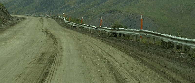
The guard rails along the road up the Atigun Pass take a real beating from both avalanches and trucks.

Notice that none of the guard rail is straight.
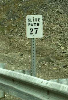
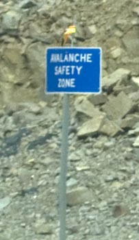
It must be spooky driving up this grade in the winter with one avalanche slide path after another all the way to the top where there's a brief respite in the form of a safety zone. Of course, there's a bunch more going down the other side, too.
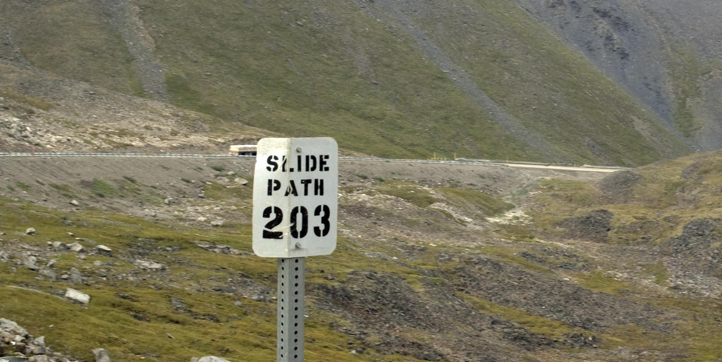
I told you I lost track of how many avalanche slide paths there are.
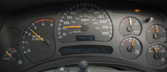
Going down the other side of the Atigun Pass, we're in 2nd gear low range. The grade pulled the engine up to 2500-3000 RPM at 11-14 MPH the whole way down.
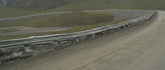
The guard rail on this side of the pass isn't just as ugly as the other side, it's been doubled up with two layers of guard rail.
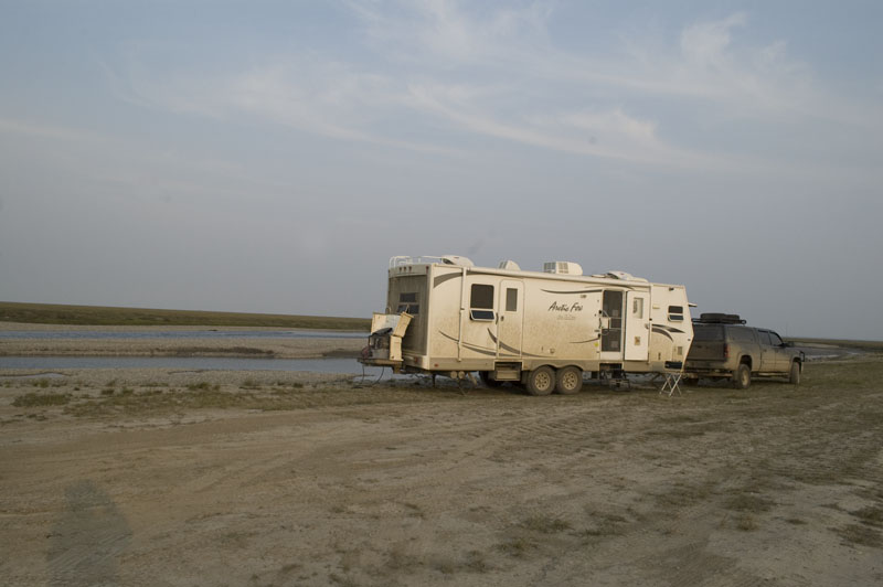
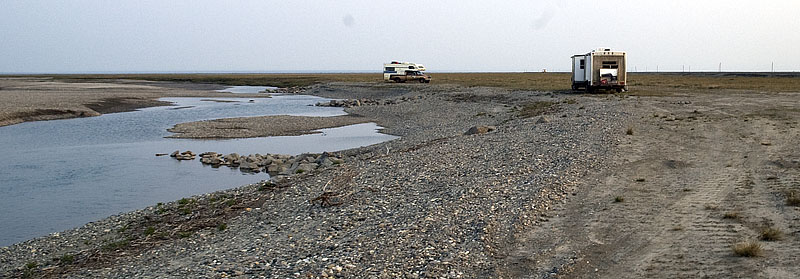
We found a large gravel area off the road (the remains of an old pipeline construction camp) and figured it would make a good place to spend the night. We basically just drove straight across the gravel and just before we got to the edge and the tundra there was a level place.
I couldn't decide which photo to post of our campsite, this one or the one before. The previous photo emphasizes the remoteness of the site while this one has the beautiful mountain background. Either way, you don't see the dramatic mountain behind me that we see out the dining room windows.
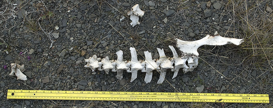
Any ideas on who the donor of this skeleton was? We found it a few feet from our door where we camped for the night.
This little guy had a series of burrows next to the coach and he excelled in driving Gracie crazy.

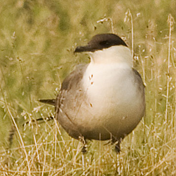
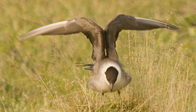
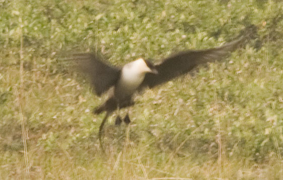
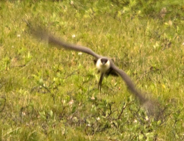
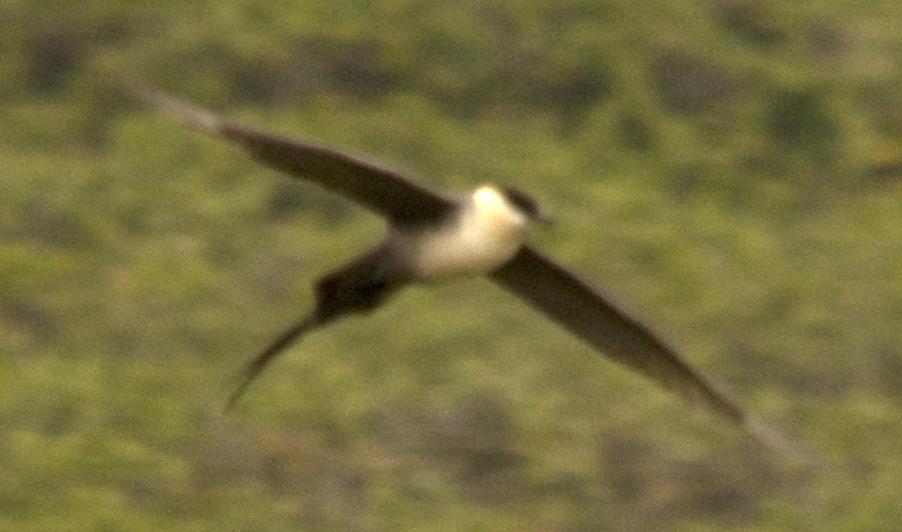
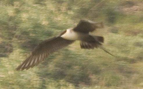
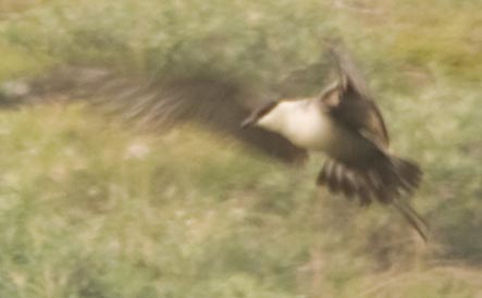
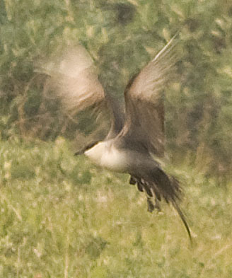
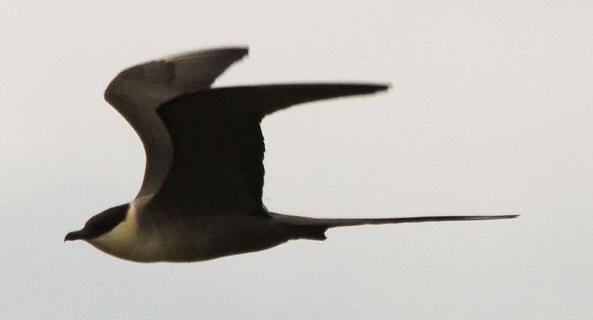
I spent much of the evening photographing two Long-tailed Jaegers hunting & I think caring for their young. I'm pretty sure they had some chicks because (a) they kept going back to one spot and (b) they got real upset when with a Raven that came by.
I tried walking out into the tundra to get better/closer shots but they responded immediately by moving their hunting to another area on the side of the mountain that was much worse for photographing them. So, I settled in and did the best I could. As the sun went behind the mountain, it got pretty dark where they were hunting so the photographs towards the end reflect that.

This Willow Ptarmigan came quite close to the front of the truck during the time the Jaegers had moved in that direction, so I took a few of her,
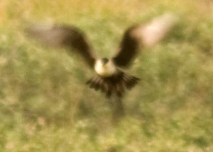
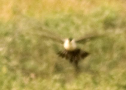
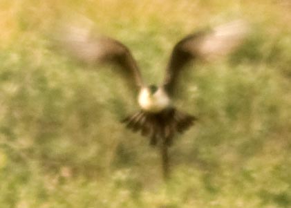
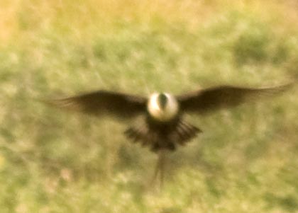
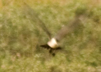
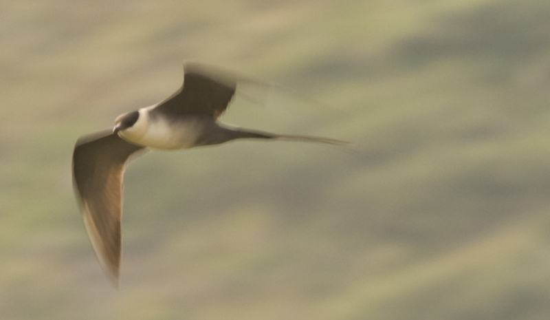
The Long-tailed Jaegers are incredible acrobats. When they think they've spotted a vole, they hover a few feet above the ground before striking. This series of 5 photos was taken in about 1.5 seconds. Even though the background is blurry (yes, the bird is blurry too) but you can still see how the bird is hovering in one place.
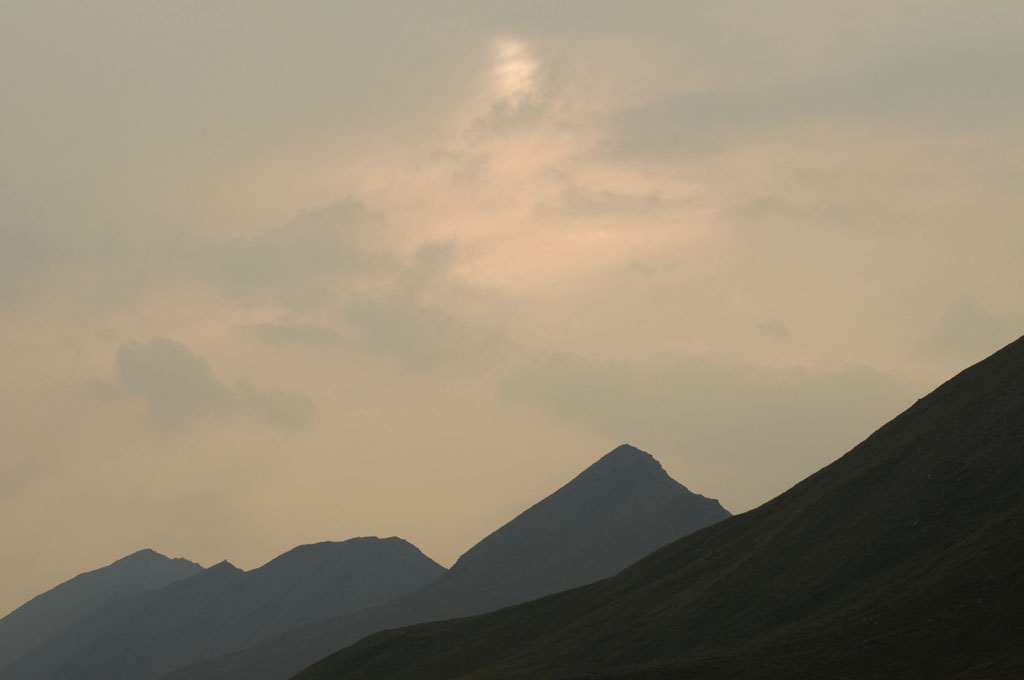
This image is of the mountains to the west (in front of the truck). The jaegers were working the hillside on the right side of this image.
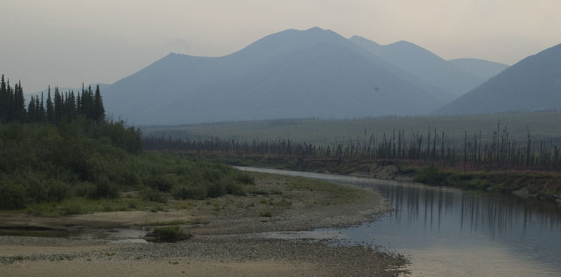
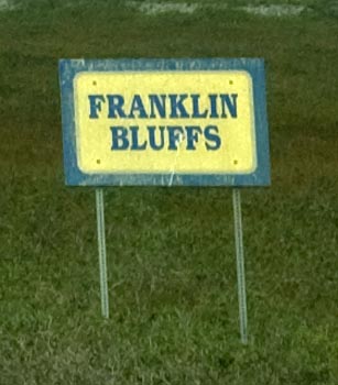
July 29th - Dalton Highway - Franklin Bluffs [top of page]
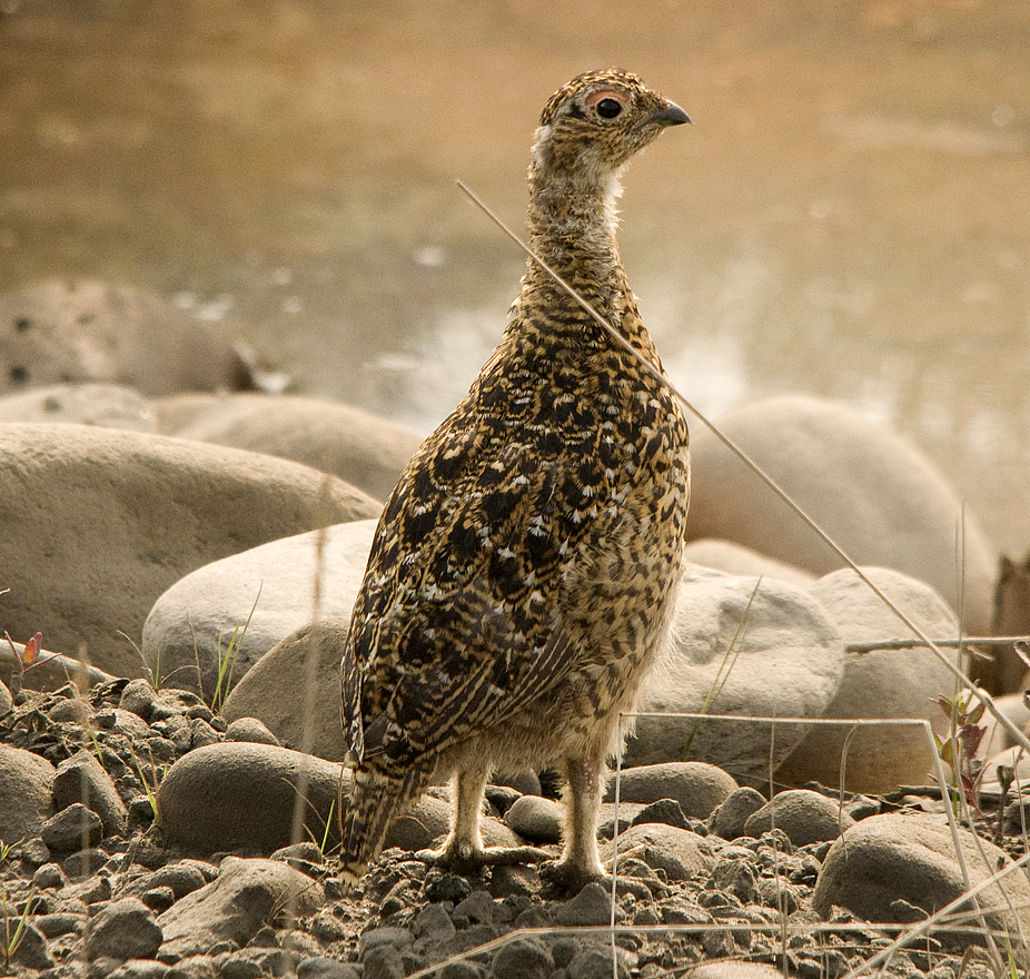
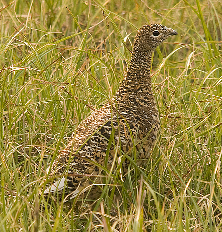
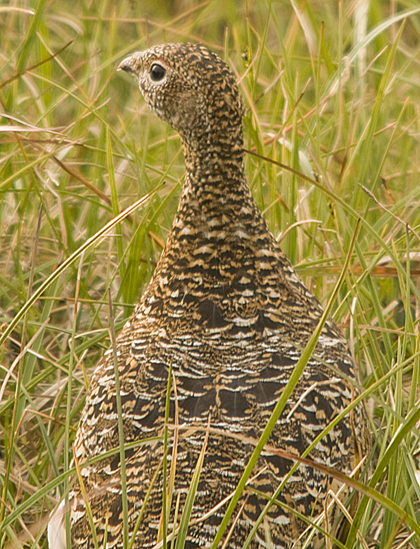
A young Willow Ptarmigan
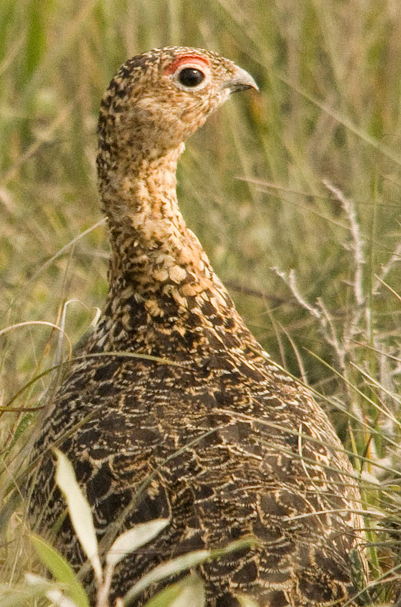
This Willow Ptarmigan must have been a librarian in her last life. Just look at that expression.
 Our
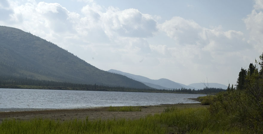
campsite at Franklin Bluffs looking NE towards the Sag River in the distance.
Note the brush line in the distance on the right side of the image.
Our
campsite at Franklin Bluffs looking NE towards the Sag River in the distance.
Note the brush line in the distance on the right side of the image.
This image shows how large the gravel pad is at Franklin Bluffs and how much we had the whole thing to ourselves. We didn't close the blinds in the trailer for 7 out of 8 days on this leg.
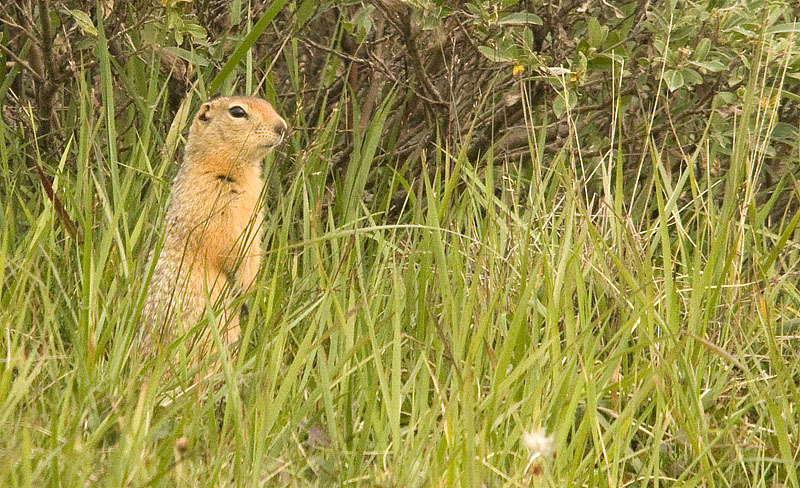
Another Arctic Ground Squirrel that drove Gracie crazy. He had several burrows around the base of a shrub on top of a small mound near our campsite. Gracie could hear him chatter and then try to figure out which hole he'd gone into.
Gulls are everywhere. This one found us and came looking for food.
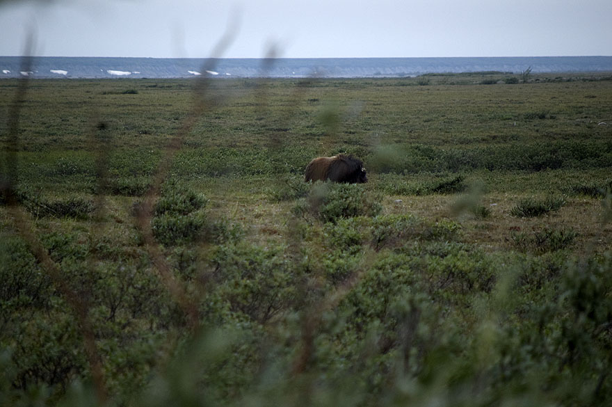
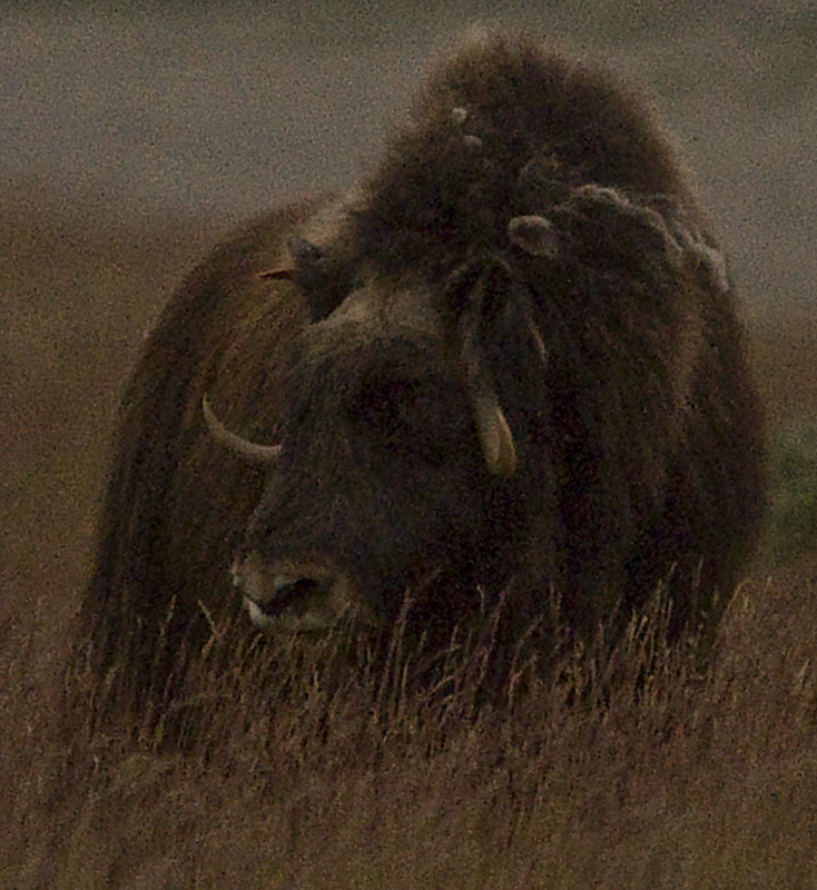
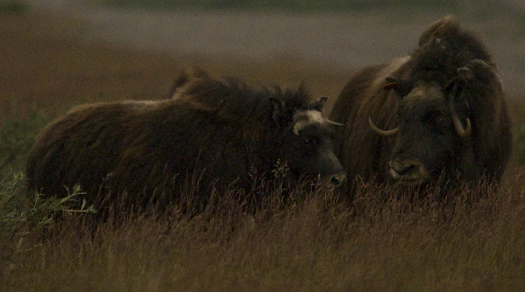
Two of the caribou bow hunters came by and stopped near our rig to scan the horizon for caribou. They didn't see any caribou but told us about the muskox they did see. So, we packed up our camera gear and headed for that line of brush in the photograph of our campsite above. The muskox were grazing on the other side of the brush, about 1/4 mile to the south. So, we worked our way south on our side of the brush to get closer.
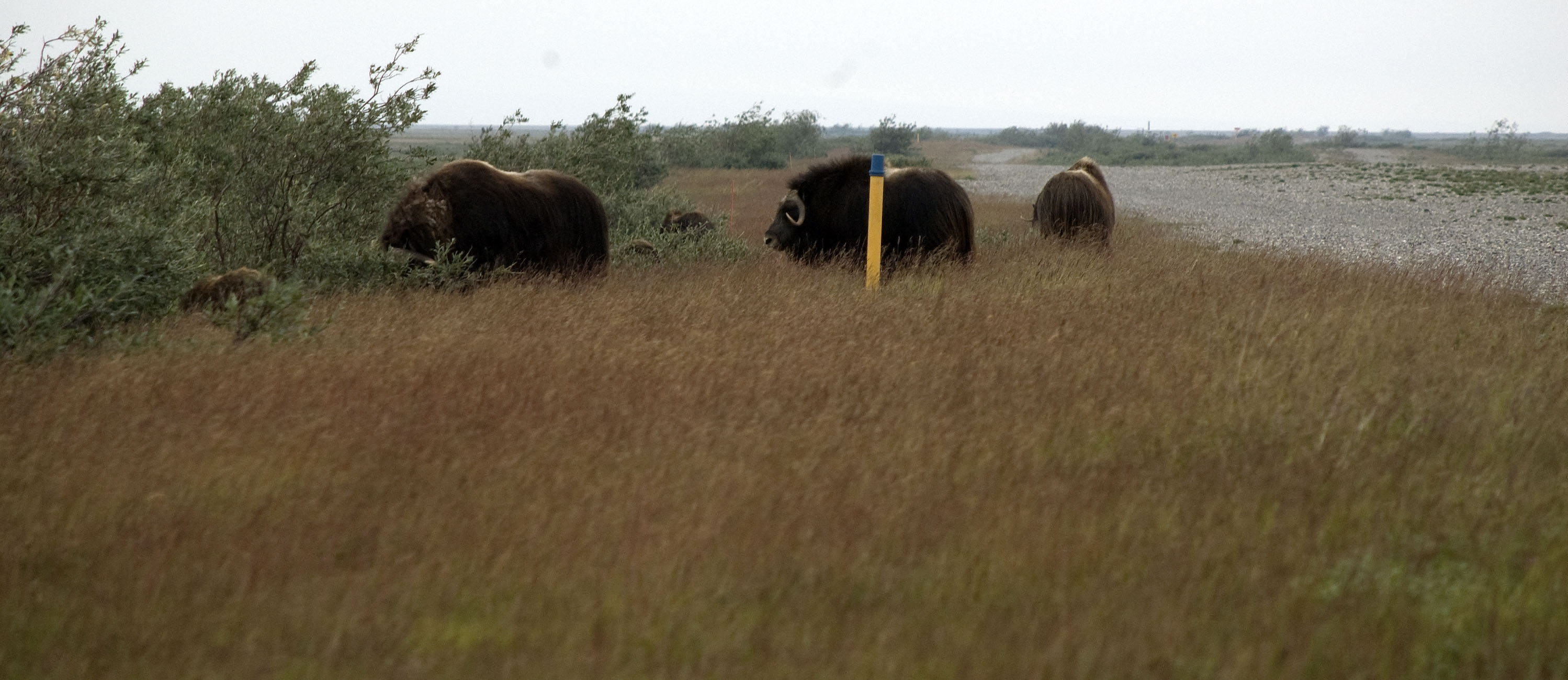
just as we were about to get even with the muskox on the east side of the brush, they changed their course and came through the brush to our side. We were only about 100-150 feet from the muskox and had no where to go that they couldn't go 10 times as fast. Yes, we were nervous.
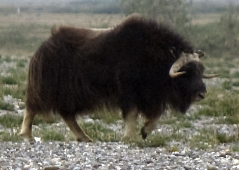
This bull walked away from the herd and once he was clear of them, he turned & stared at us. I backed up about 20 feet and that seemed to satisfy him and he went about his business.
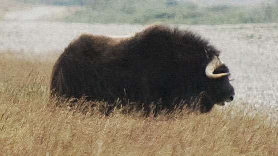
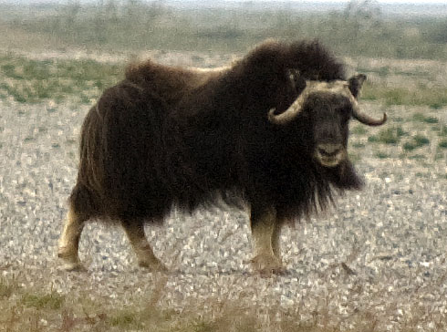
The following 6 photos of the muskox were taken with my D90 with the 150-500 zoom. They should have been great shots because I was both closer than CJ was and I was using the longer lens. But I had neglected to change the camera's settings from the night before when I was trying to photograph the flying Jaegers in near darkness. ISO 3200 is great for getting images in very little light, but lousy for making quality images in adequate light. Bummer!!
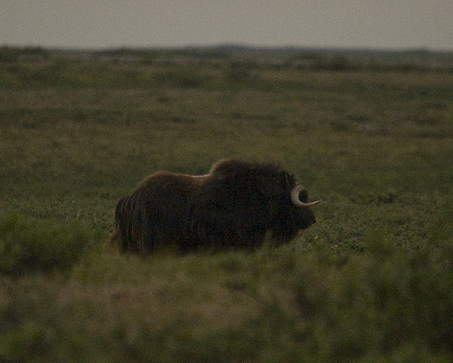
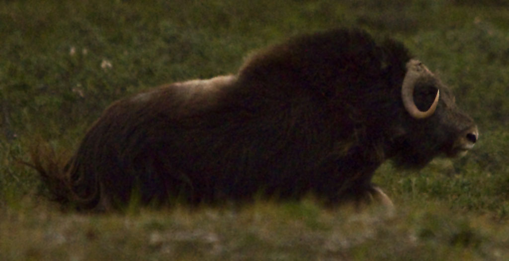
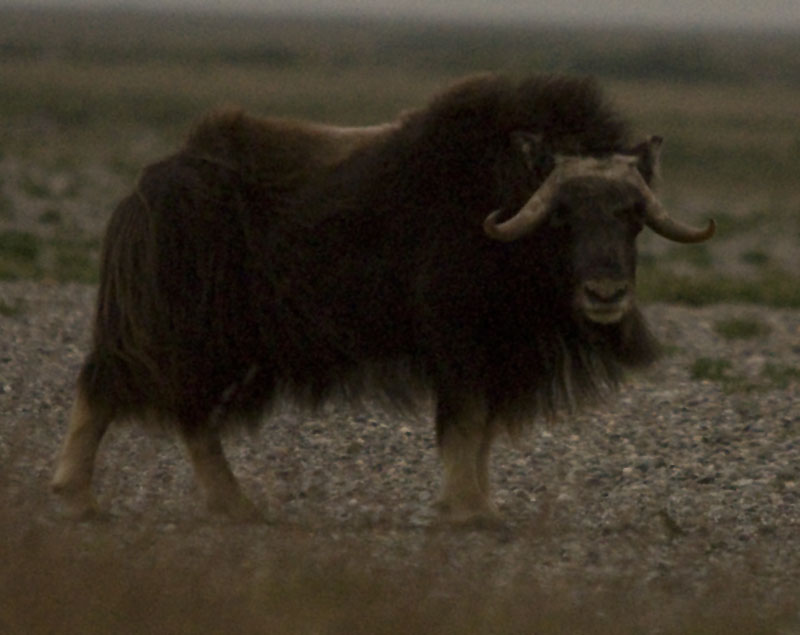
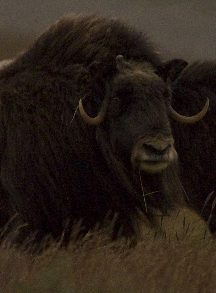
This should have been a great photo of a muskox . . .
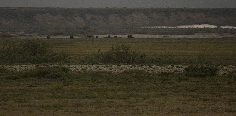
After a while, the muskox went back east through the brush and continued to the river bank where they camped for the night.
Here are two videos of the muskox doing their thing
photogallery/alaska_2009/leg_08/2009-07-29_dalton_hwy/DSC_1386.AVI
photogallery/alaska_2009/leg_08/2009-07-29_dalton_hwy/DSC_1406.AVI
July 30th - Dalton Highway - Sagavanirktok River [top of page]
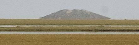
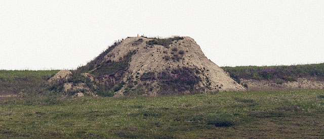
This is a pingo. Basically, it's a mound of earth caused by the expansion cycles of water under the tundra. It's the only one visible from a road that we know of.
Pingos can only form in a permafrost environment. Evidence of collapsed pingos (sometimes called ognip[1]) in an area suggests that there was once permafrost.
Pingos usually grow only a few centimetres per year, with Ibyuk Pingo growing at a rate of 2 centimetres (0.79 in) a year,[4] and the largest take decades or even centuries to form. The process that creates pingos is believed to be closely related to frost heaving.
Hydrostatic-system pingos form as a result of hydrostatic pressure on water from permafrost, and commonly form in drained lakes or river channels. Permafrost rises to the drained body's former floor. Pore water is expelled in front of the rising permafrost, and the resulting pressure causes the frozen ground to rise and an ice core to form.
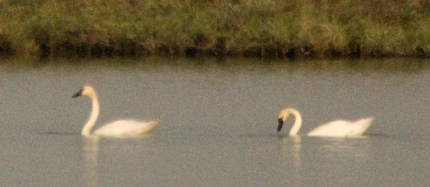
Trumpeter Swans are such graceful birds.

Except when they're eating!

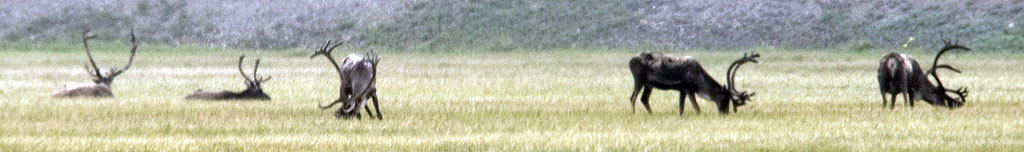
On the other hand, many caribou have that "road hard, put away wet" haggard look.
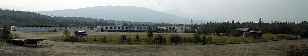
DEADHORSE
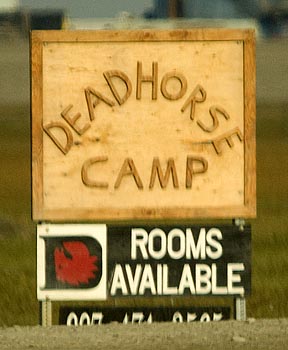
The first sign we saw in Deadhorse.
This is the "hotel" called Deadhorse Camp referred to in the sign above.
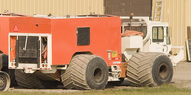
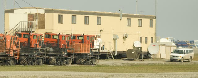
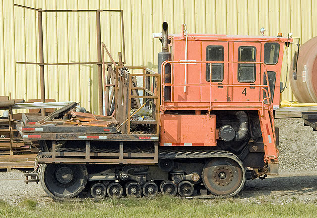
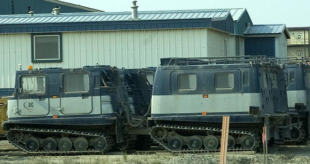
There are all kinds of cool specialize tundra and winter vehicles here. As busy as this place was in the summer, the real work is done in the winter when the tundra is frozen and these vehicles can cross it without doing damage.
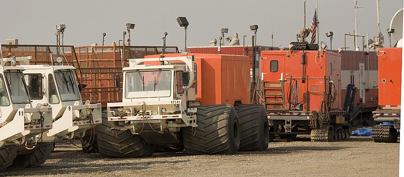
These guys are made for crossing the tundra.
Some, like this little guy are just cute.
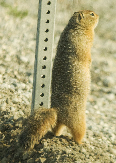
Speaking of cute. There's no shortage of Arctic Ground Squirrels in the oil fields.
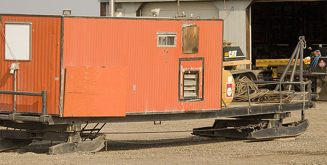
Trailers come all ways, too. This one is a sled.
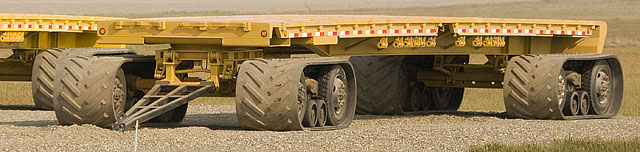
While this one has special trucks with multiple tires inside rubber tracks to spread the load.
A very large machine.
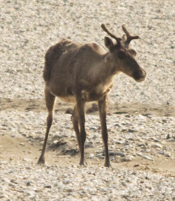
Another haggard looking caribou. This is one of the first of many photos of this guy and as best we can figure, he was running from his shadow. So, not being the smartest caribou around, he runs straight for the airport where a commuter plane flies right over him completely freaking him out.
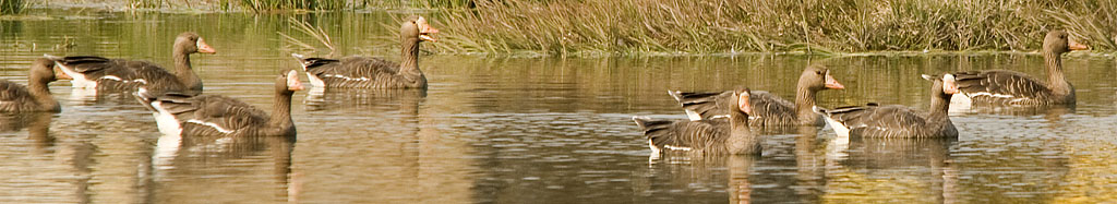
A whole flock of White-fronted Geese in a pond in the middle of the oil field maintenance area.
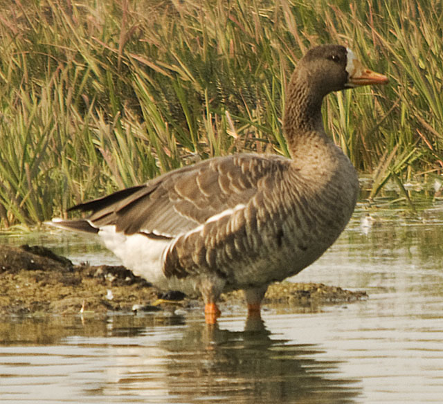
A closeup of one of the White-fronted Geese.
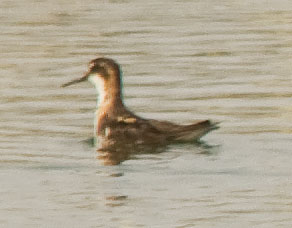
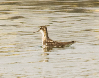
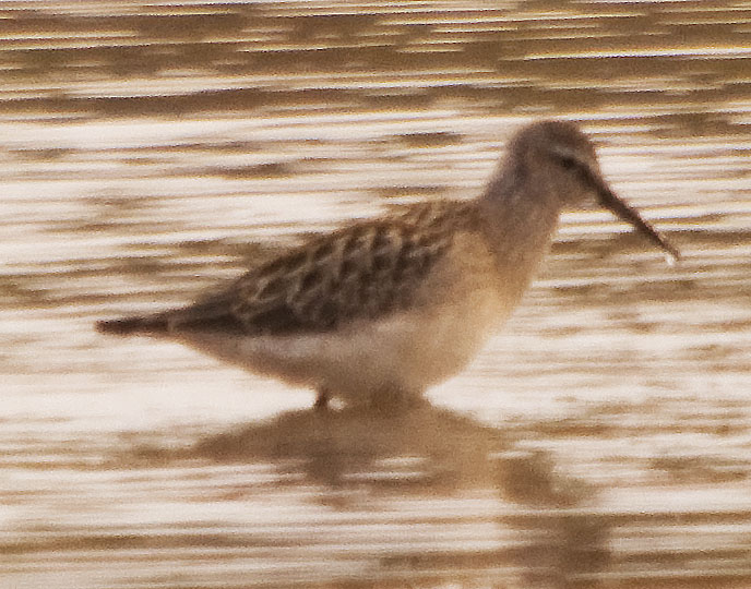
These Red-necked Phalaropes are fun to watch. They swim around spinning pirouettes with their head cocked to one side looking at the water. A bug here and a bug there keeps them going.
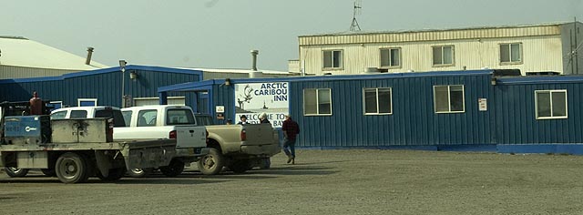
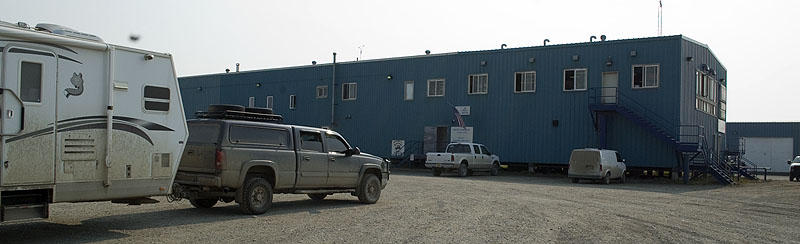
This is the Arctic Caribou Inn. We'll meet here tomorrow for our tour of the oil field and visit to the Arctic Ocean.
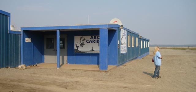
The front entrance to the Arctic Caribou Inn
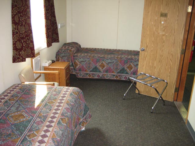
This is a standard room at the Arctic Caribou Inn. There is a small chest with a 19" TV to my right and a small closet, toilet & shower behind me. This room goes for $199/night.
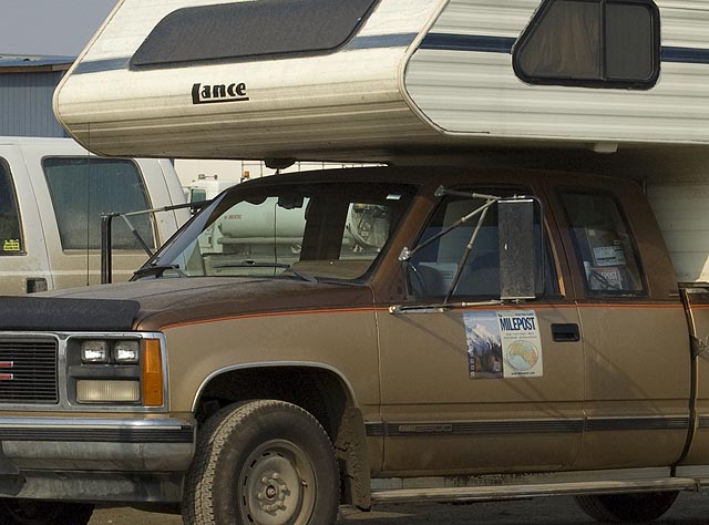
One of the Field Editors from the Milepost was doing her rounds.
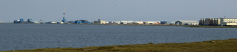
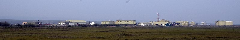
A view of some of the facilities at Prudhoe Bay
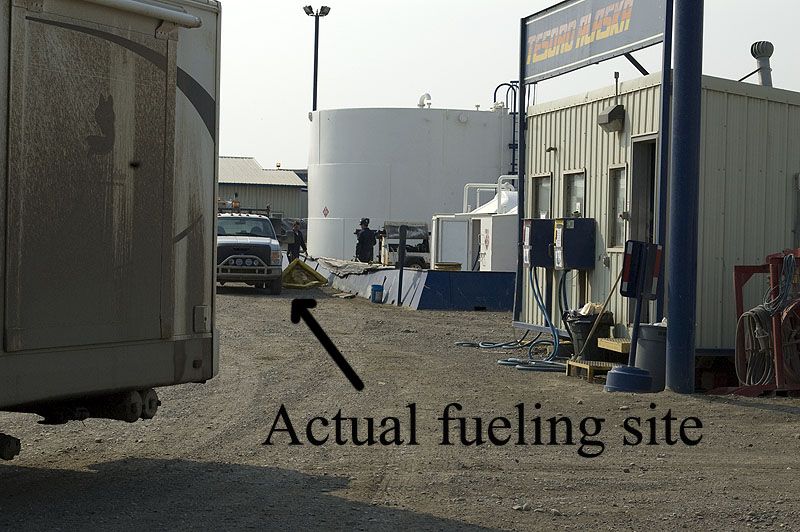
The gas station at Prudhoe Bay. I had to pull out of way before I could get my photo of us getting fuel here. The attendant behind the concrete barricade placed the spill mat under the truck and then drags a LONG hose from the pumps on his side of the barricade and hands it to you to fill the truck. He writes your name and credit card number in a log book along with the amount of fuel used. We had no idea of what the fuel cost until we got our credit card statement! It turned out to be just $3.59/gallon, only $0.20/gallon more than in Fairbanks.
The Prudhoe Bay General Store in Deadhorse. There is a large & well stocked parts house on the ground floor that is open 24/7/365. The prices are very reasonable with very little markup over the prices found in Fairbanks. The Post Office is also on the ground floor at the end of one of the parts aisles. A small gift shop is upstairs.
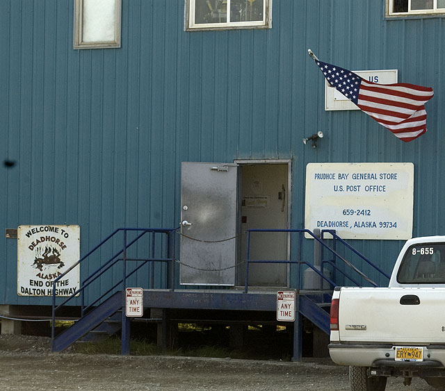
Another view of the Prudhoe Bay General Store
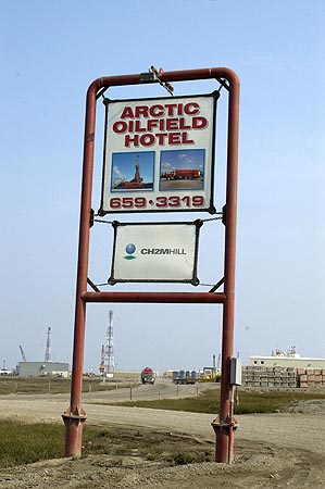
The Arctic Oilfield Hotel is another 'hotel' catering to the oil field workers. Many, if not most companies in Prudhoe Bay servicing the oil industry have their own dormitories, but there's still enough demand for worker housing that there's a bed shortage.
A few more cute winter vehicles.
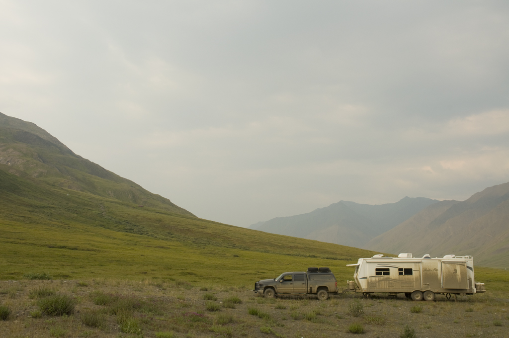
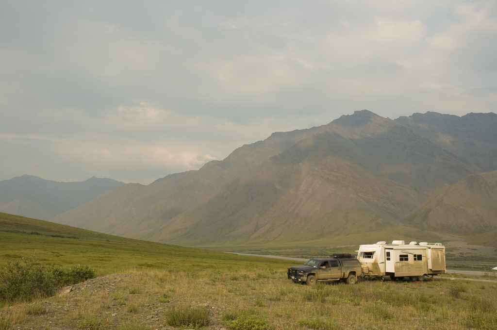
Our campsite along a side channel of the Sagavanirktok River (aka Sag River) about 12 miles south of Deadhorse. It must be dinner time because the generator cover is open and the BBQ is out.
Another view of our campsite on the Sag River. Note the MilePost editor's camper in the background.
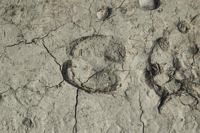
Caribou tracks in the river bank next to the coach
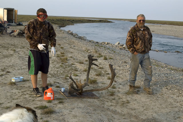
A caribou hunter and his son are treating the rack hoping to preserve the velvet. Hunters may only use bows to kill the caribou, although many carry a large firearm for protection against grizzlies. This guy told me he carries a 50-caliber pistol. The recoil on that could really mess up your wrist.
July 31st - Dalton Highway - Franklin Bluffs [top of page]
After breaking camp at our campsite along the Sagavanirktok River, we headed back to the Arctic Caribou Inn for the tour of the Prudhoe Bay oil field and our chance to dip our toes in the Arctic Ocean.
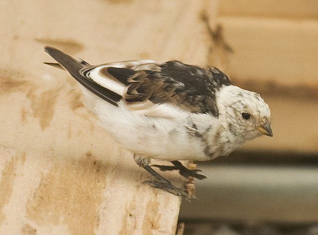
This Snow Bunting was hoping around the dumpster behind the Arctic Caribou Inn looking for an easy meal.
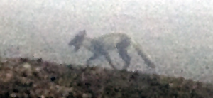
An Arctic Fox in the fog at Prudhoe Bay.
We found out the next day from the MilePost editor that she had a litter nearby
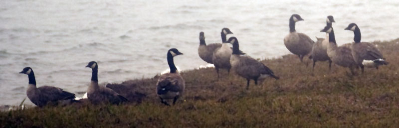
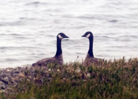
A gaggle of Canada Geese at the Arctic Ocean
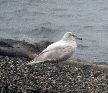
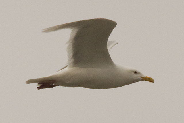
According to gull expert, Bob Boekelheide at the Sequim Audubon Center, this is "one-year-old Glaucous Gull, in very worn plumage."
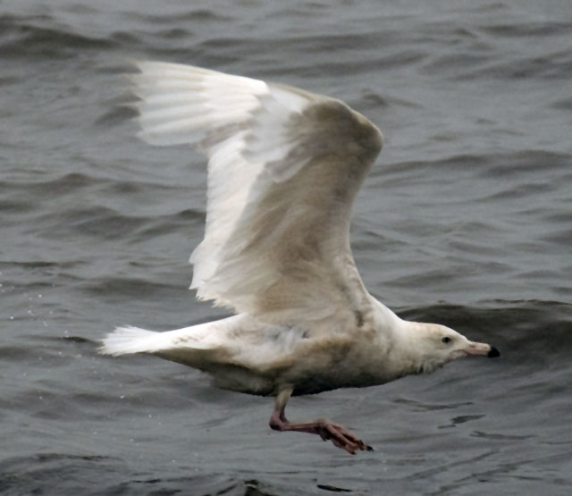
This and the following 3 photos are of the same gull.
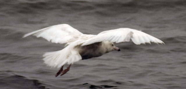
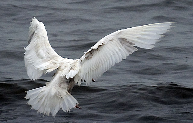
This photo illustrates the "very worn plumage".
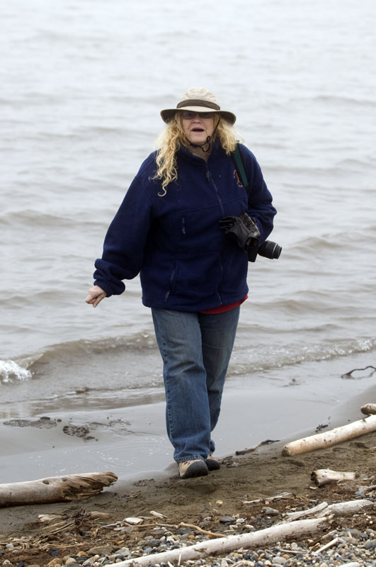
C. J. at the Arctic Ocean
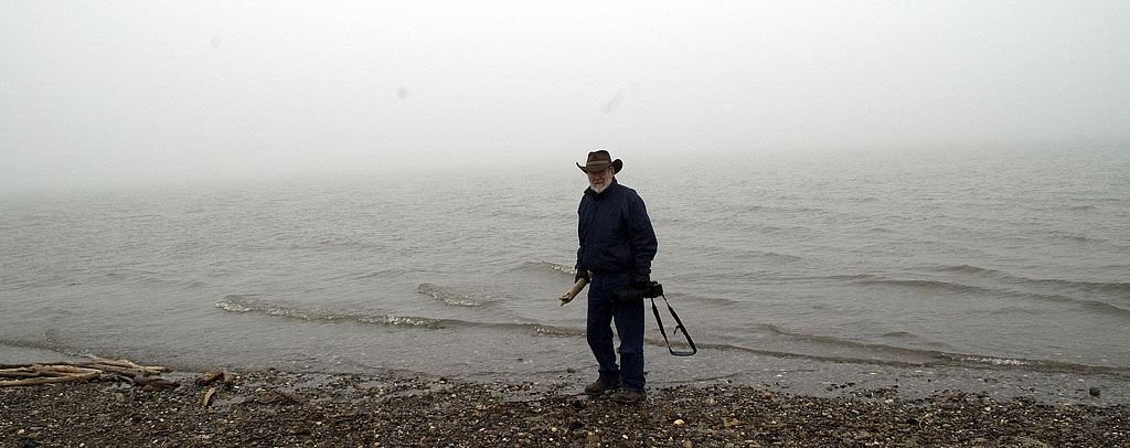
Steve at the Arctic Ocean
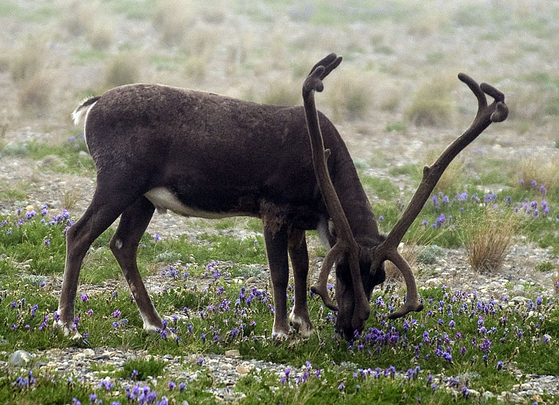
A nice rack on this caribou just a couple of hundred yards from the Arctic Ocean.
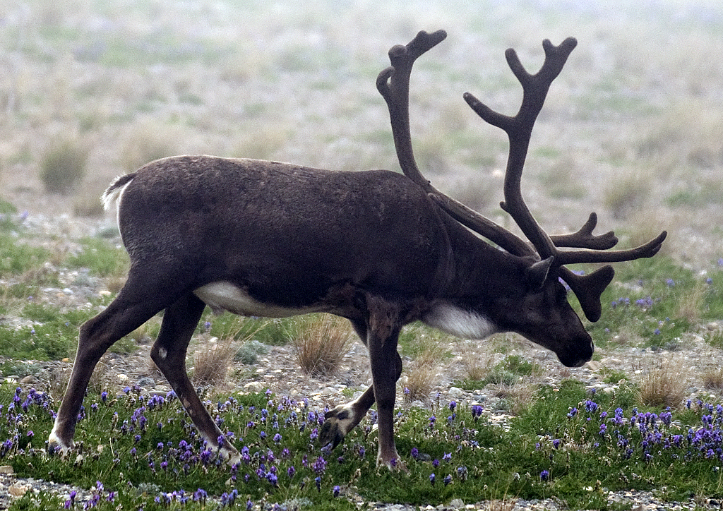
Another view of the caribou with the big rack.
Several caribou near the Deadhorse airport.
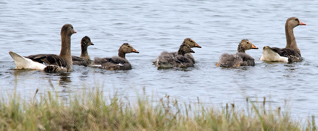
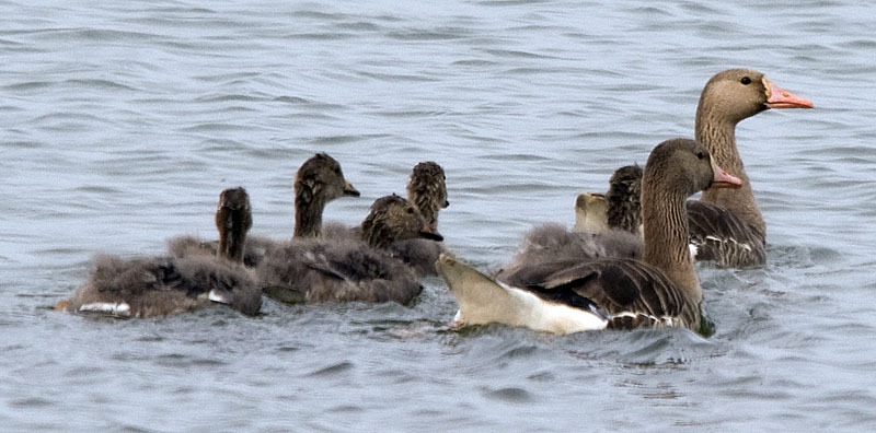
A pair of Greater White-fronted Geese and their 5 goslings.
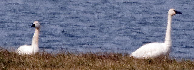
We found this pair of Trumpeter Swans on the near shore at a small lake on our way back to Franklin Bluffs. Since there was a good place nearby to get the truck and trailer off the road, I set out to get closer. The instant my feet left the gravel of the road bed and hit the tundra, they entered the water and headed for the other side. So, this photo from about yards is as good as it gets.
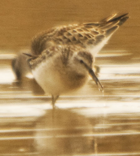
Two images of Lesser Yellow-legs feeding.
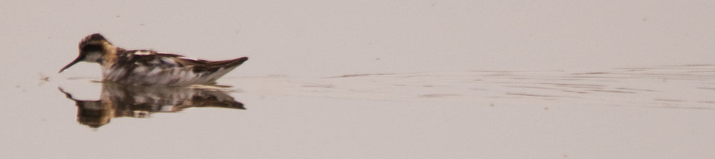
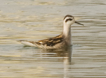
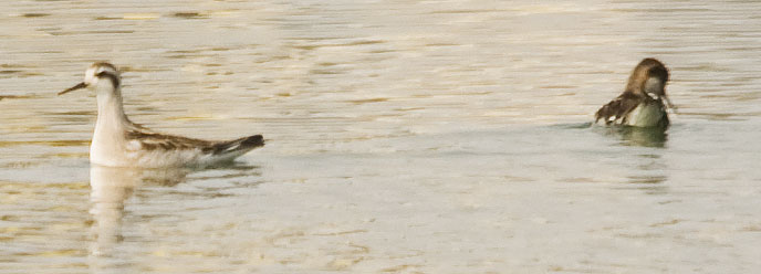
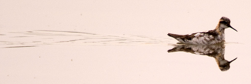
And two images of Red-necked Phalaropes.
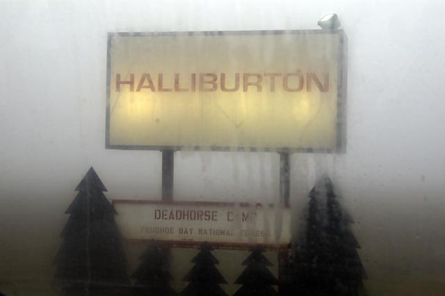
The Prudhoe Bay National Forest outside the Halliburton building.
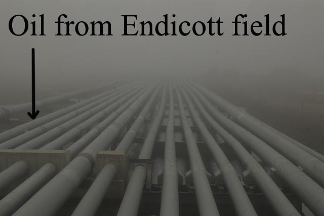
A bunch of pipes carry stuff like water & steam to the Endicott oil field, but one one brings crude oil back.
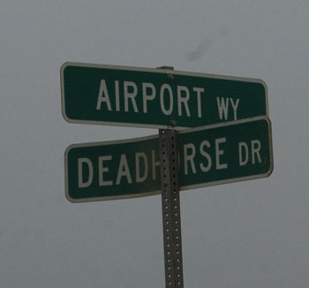
I don't know why we needed a photo of this sign, but we did so here it is.
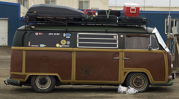
And people thought we were nuts taking our trailer to Prudhoe Bay. This old VW bus was parked outside the Arctic Caribou Lodge. Looking at the angle of the rear axle and how it's hunkered down over the front axle, it's safe to say it's overloaded too.
We were greeted with this sign as we drove south out of Deadhorse.
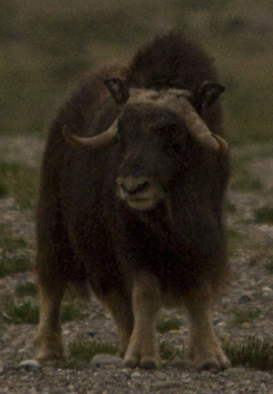
The Dalton Highway heading south. We're headed back to Franklin Bluffs hoping to find the Muskox again and get some more photos of those ancient beasts.
Right after we took this photo, we pulled over to let a big rig pass. He called to thank us and told us that we'd just missed seeing a wolverine cross the road just after we drove by but before he drove by. Damn. Never occurred to us that we might see a wolverine.
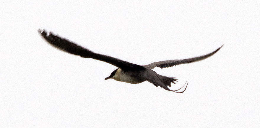
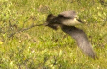
Two photos of a Long-tailed Jaeger in flight over the tundra at Franklin Bluffs.

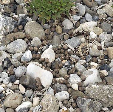
There's a pond in the tundra near our site at Franklin Bluffs. I found this beaver scat . . .
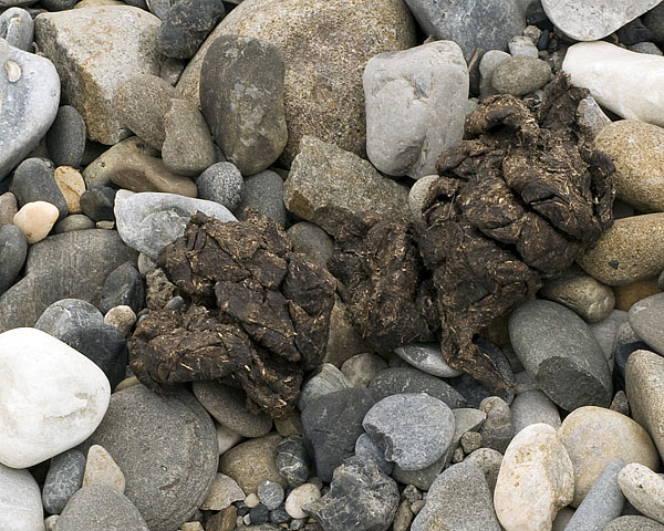
and this muskox dropping in the gravel nearby. I understand the muskox because this is very near where we found them two nights ago, but the pond is too small for a beaver and there's no trace of a beaver dam or lodge.

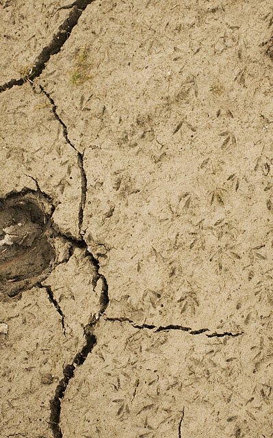
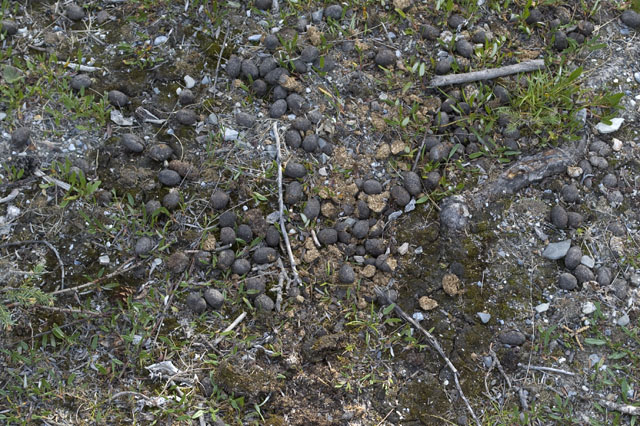
Three photos of muskox tracks, one with a zillion shorebird tracks.
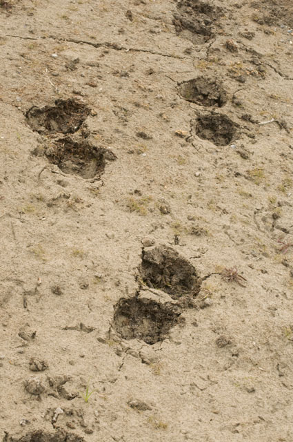
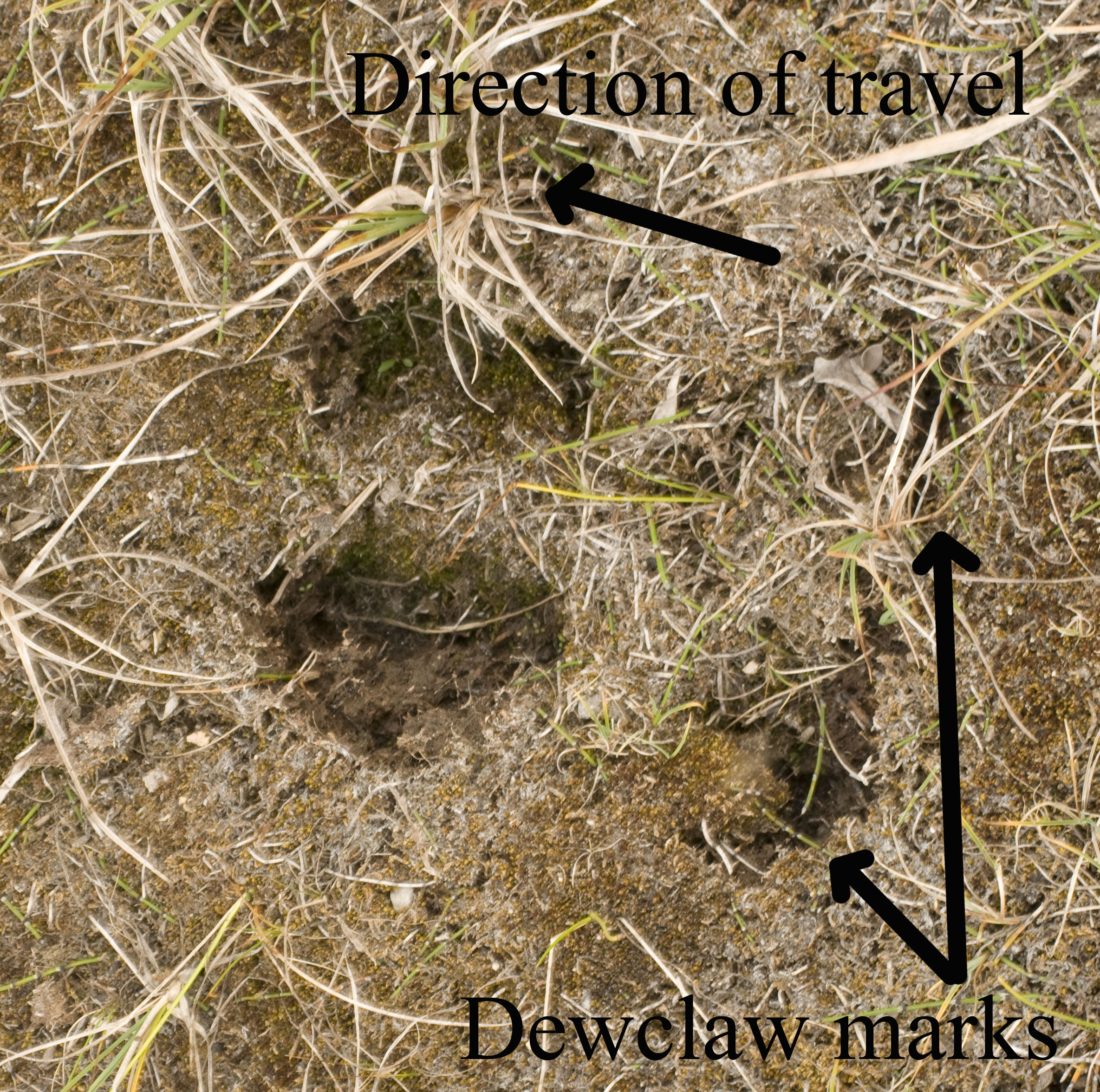
Caribou tracks. Caribou have very well developed dewclaws for walking on the soft terrain

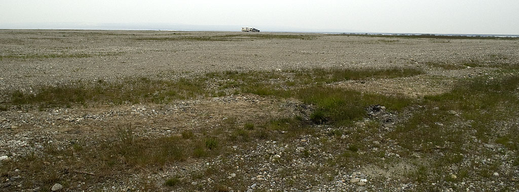
Gracie and I walked over to the west side of the old pipeline construction camp gravel pad and took several photos & then stitched them together. This composite image shows (a) just how huge the place is, and (b) how we had the whole thing to ourselves.
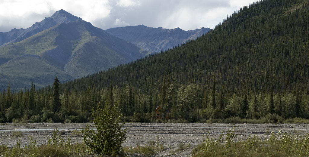
August 1st - Dalton Highway - Mile Post 189 [top of page]
Another Long-tailed Jaeger flying over the tundra at one of our rest stops.
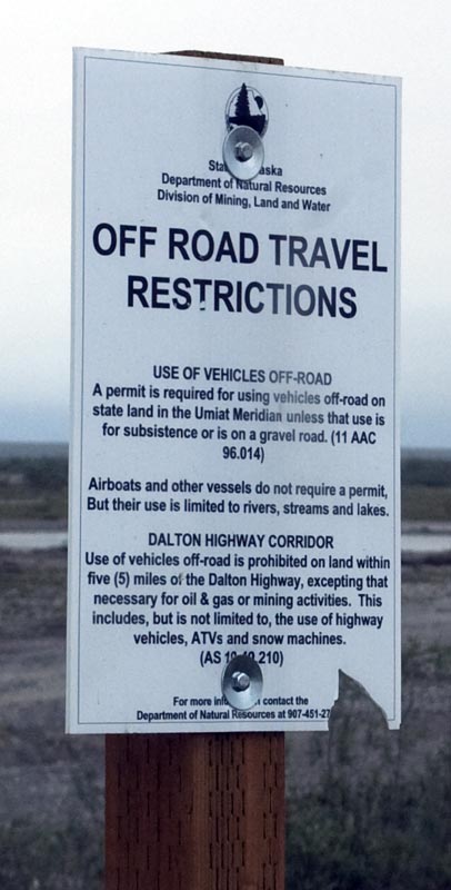
One of the hunters told us the fines for driving on the tundra are huge.
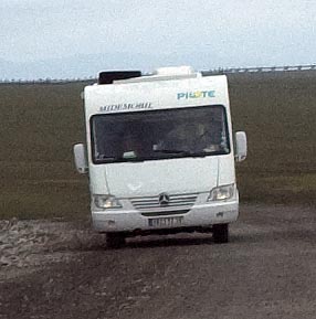
A small Mercedes van conversion followed by
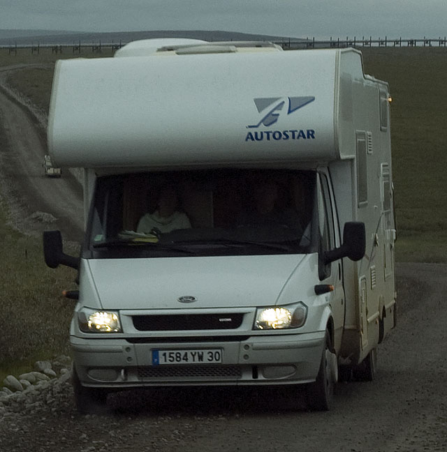
a small European Ford Class C.
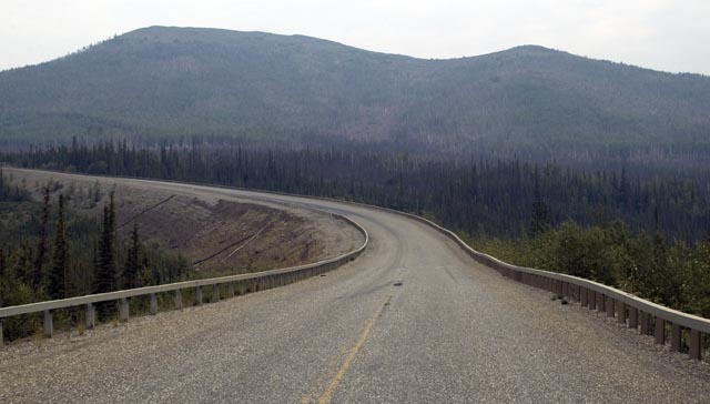
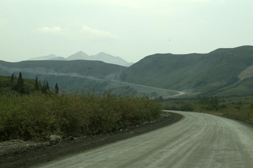
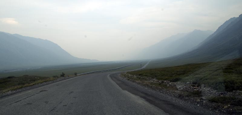
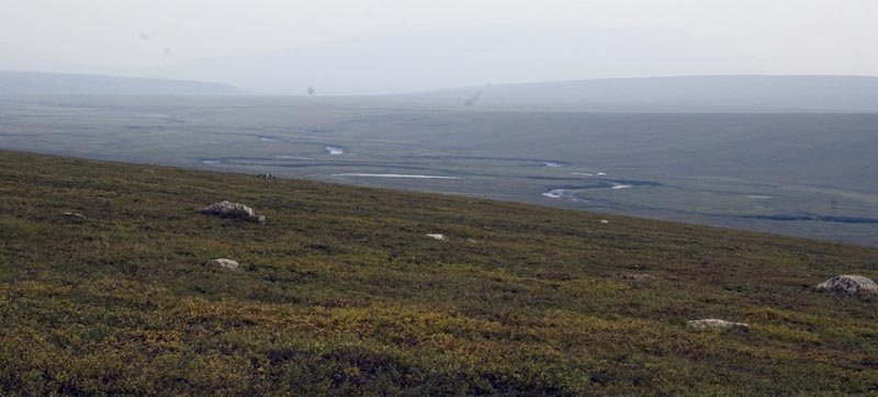
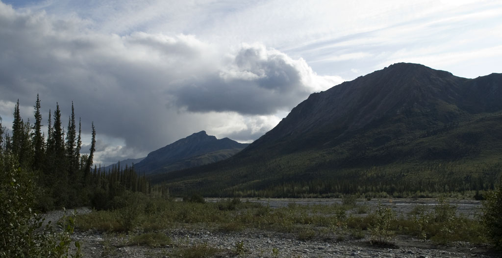
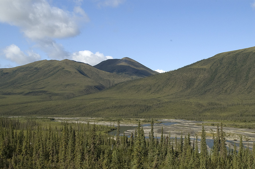
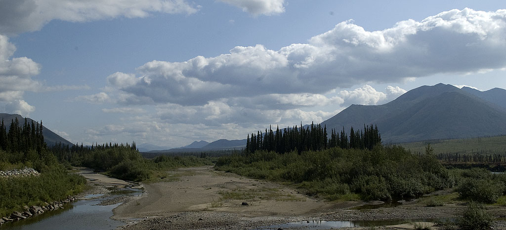
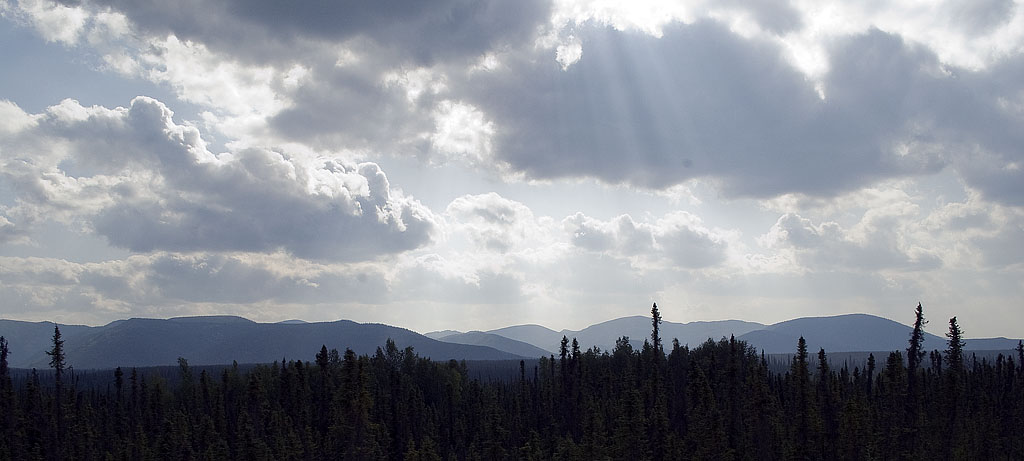
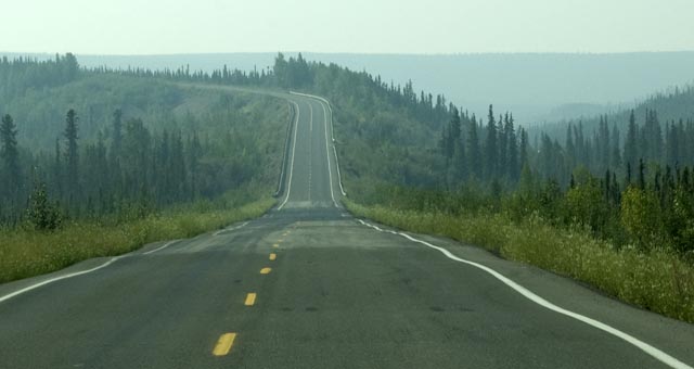
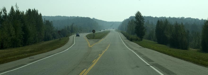
A Dalton Highway vista.
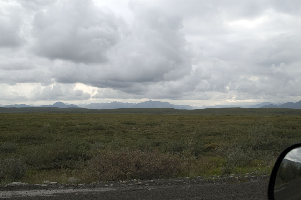
Another Dalton Highway vista
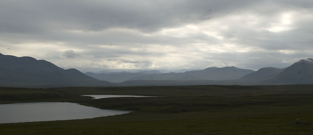
And another
And another
Another 'sag' in the pipeline for wildlife crossing. CJ wants to know who tells the wildlife to cross here.
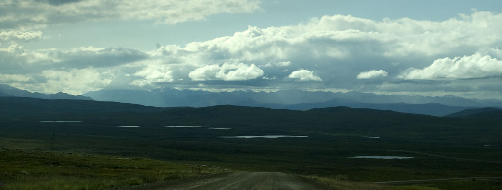
Another vista with dramatic cloud formations.
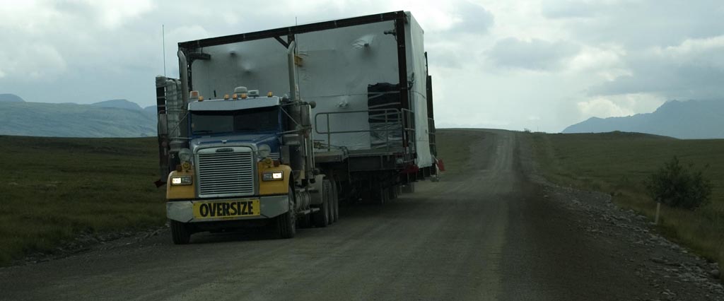
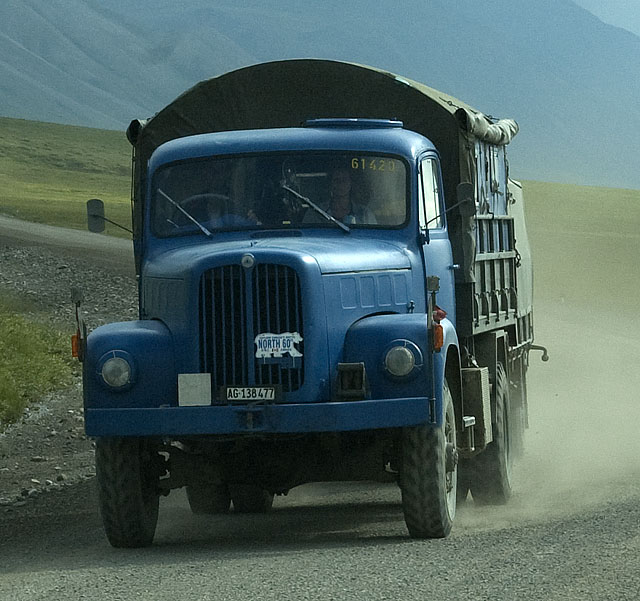
The guy in the pilot car stopped us before this guy came over the rise to tell us he's 20+ feet wide. We pulled over over as far as possible with our trailer tires right on the edge of the loose gravel and stopped. He slowed to a crawl as he went by and missed us by less than a foot.
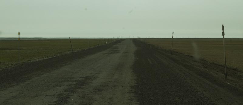
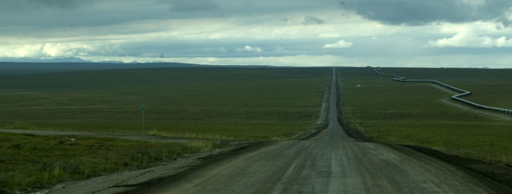
The road seems to go on forever.
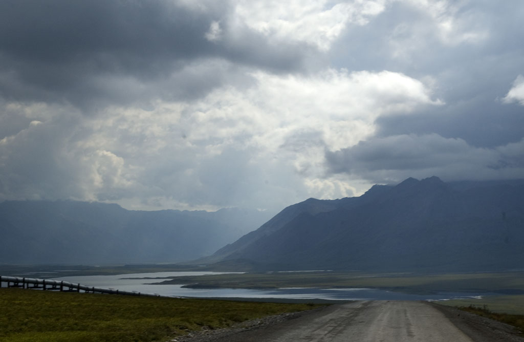
More gorgeous vistas and clouds.
An older European truck converted into a camper pulling a European style utility trailer.
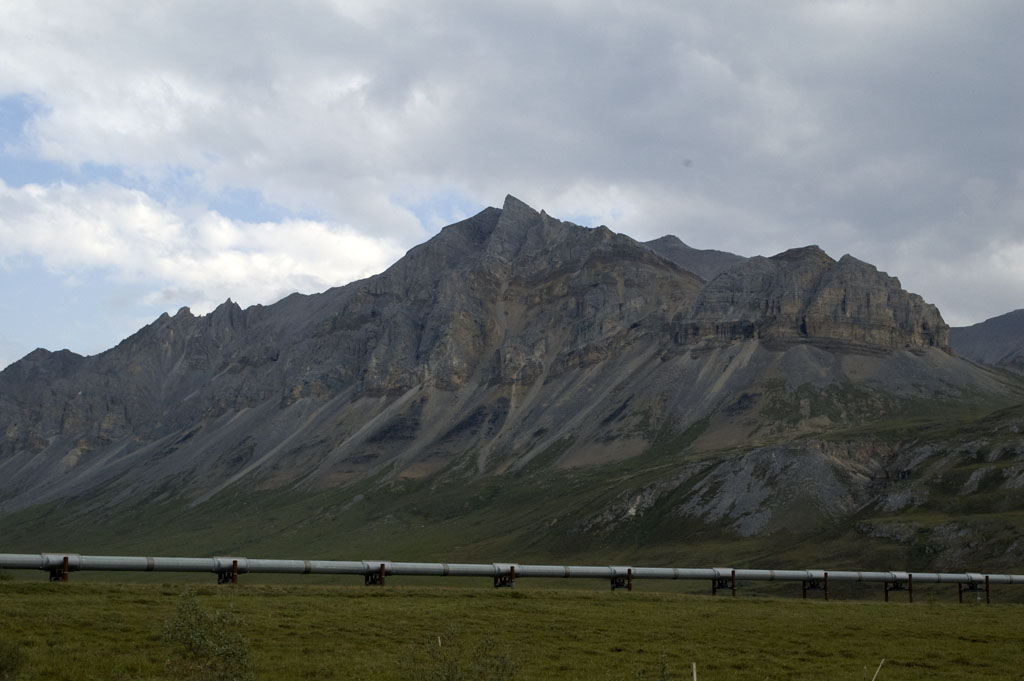
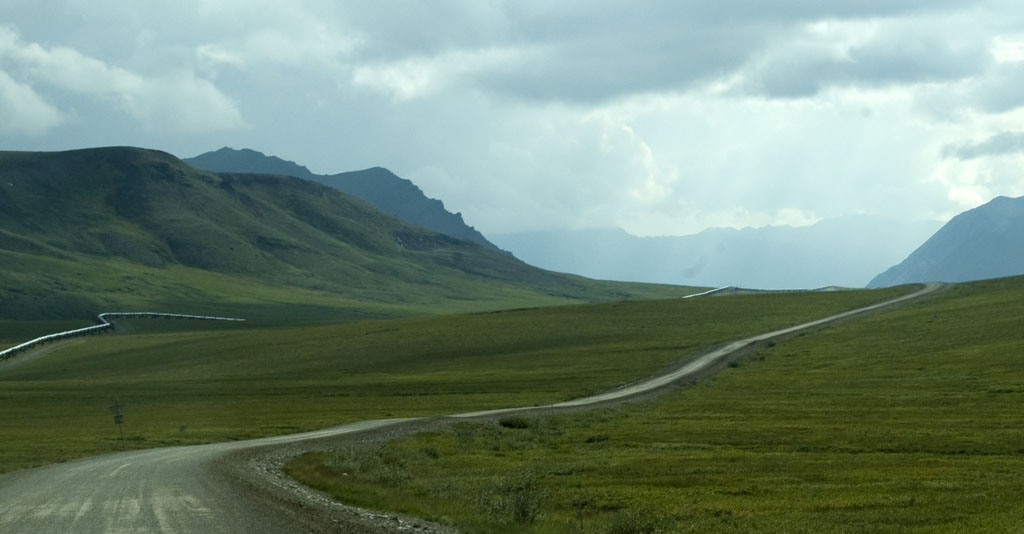
The pipeline with a rock mountain behind it. Note all of the rock slides on the lower half of the mountain. We're getting very close to Atigun Pass.
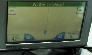
It can be hard to spot a winter trail (ice road) in the middle of the summer, but the GPS knew where it was.
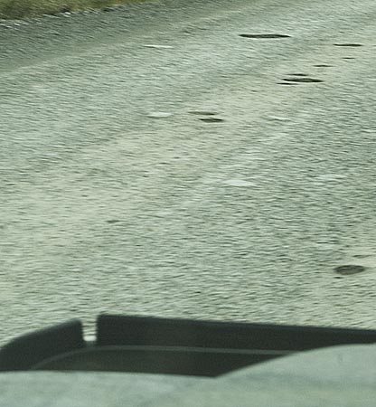
More potholes to dodge.
The Atigun Pass must be crossed once again.
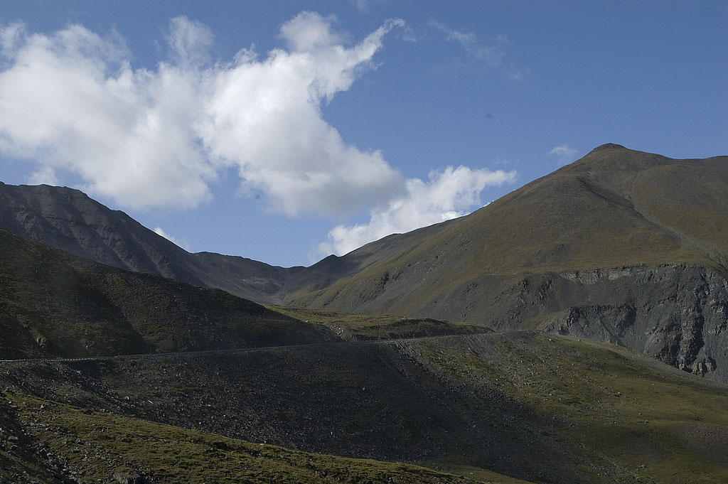
The road going up the Atigun Pass on the northside of the pass.
Looking back towards Prudhoe Bay from the early part of the way up the pass.
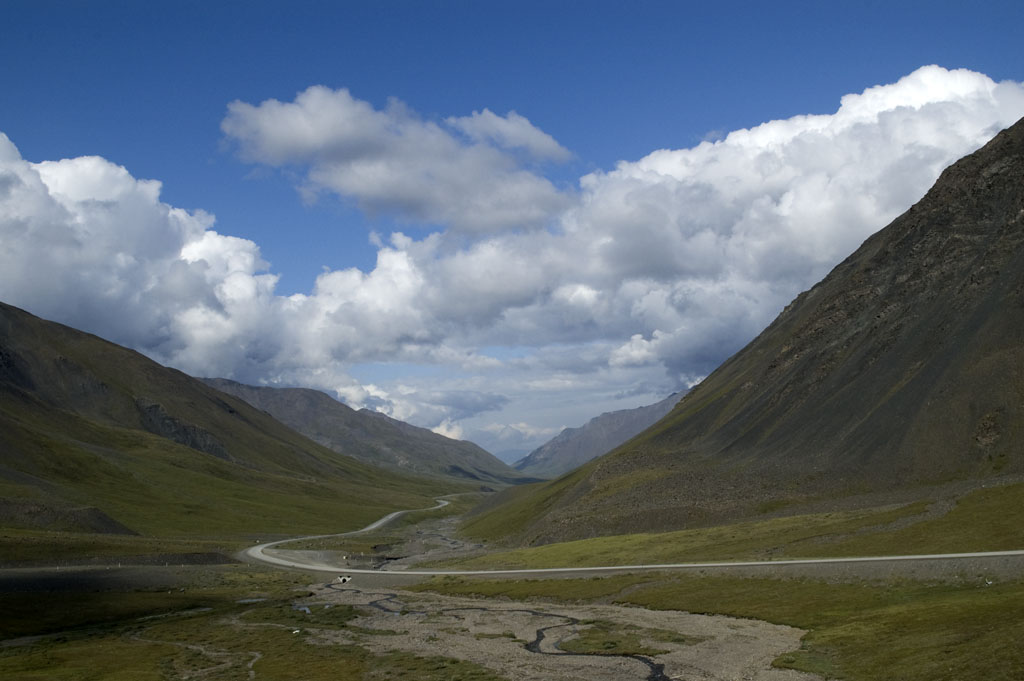
Our first glimpse of the terrain on the south side of Atigun Pass.
Flat land ahead!
Don't get in a hurry, though! Plenty of chances to mess up on the way down, so we just leave it in 2nd gear, low range and crawl down at 13-14 MPH.
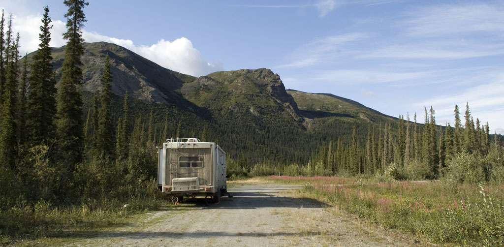
Our campsite on the south side of Atigun Pass - plus some because we're back south far enough for trees. We're parked on a service road almost directly over a buried section of the pipeline. You can just see a trace of the Dalton Highway through the trees on the left of the photo.
Same basic shot, just a slightly different viewpoint.
Just in front of where we're parked in the photo above is a very short cross road that ends at the river bank. This photo was taken at the river bank and shows a cabin on the far side of the river.
Same vantage point as above, but looking south along the river.
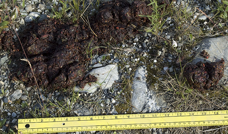
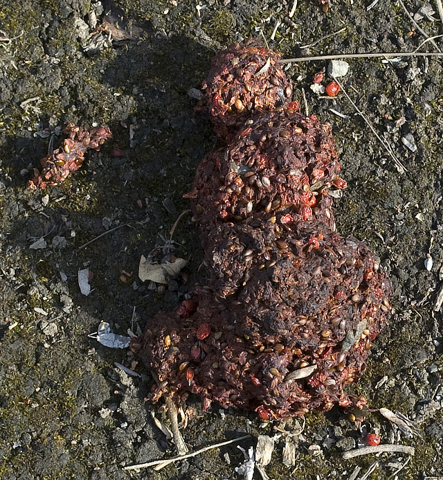
I found this very fresh grizzly bear scat about 100 feet in front of our campsite. This grizzly has been on a cranberry diet.
This beaver scat was just to the left of the truck.
And this second pile of grizzly scat was in the woods about 30 feet to the left of the trailer. Also quite fresh.
The owner of that cabin in the photo above came over to tell us that there was a 4-year old male grizzly in the neighborhood that had started to make a nuisance of himself by breaking into a shed, etc. He asked me if we had a gun, and since we didn't he suggested we keep the dogs inside the coach.
Fortunately or unfortunately, depending on your perspective, we didn't see the grizzly that night.
Another view of our campsite. You can see the cross road that leads to the river bank for the cabin owner's access.
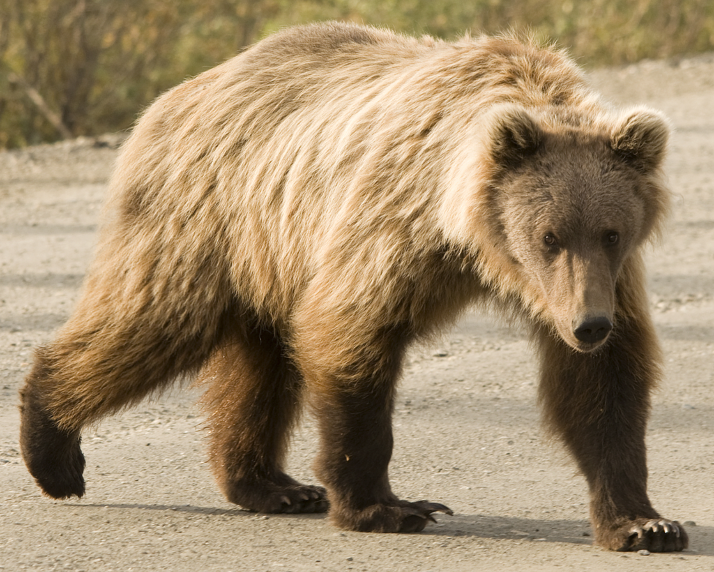
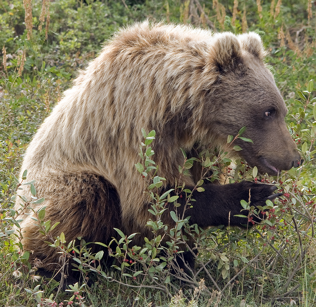
August 2nd - Dalton Highway - Mile 5 BLM Campground [top of page]
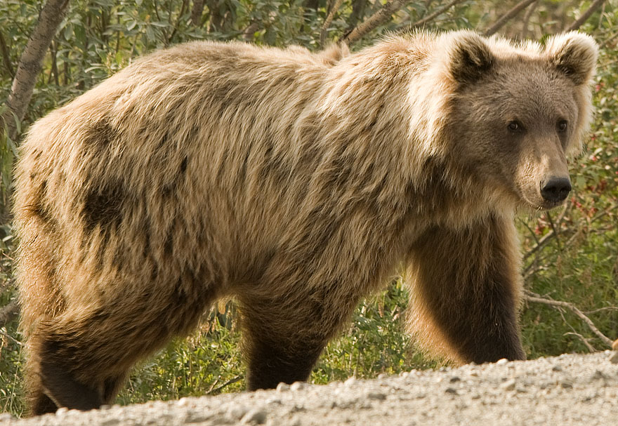
But, we found him just down the road. We spotted him while we were a couple of hundred yards away and changed places so CJ drove while I stood in the open sunroof.
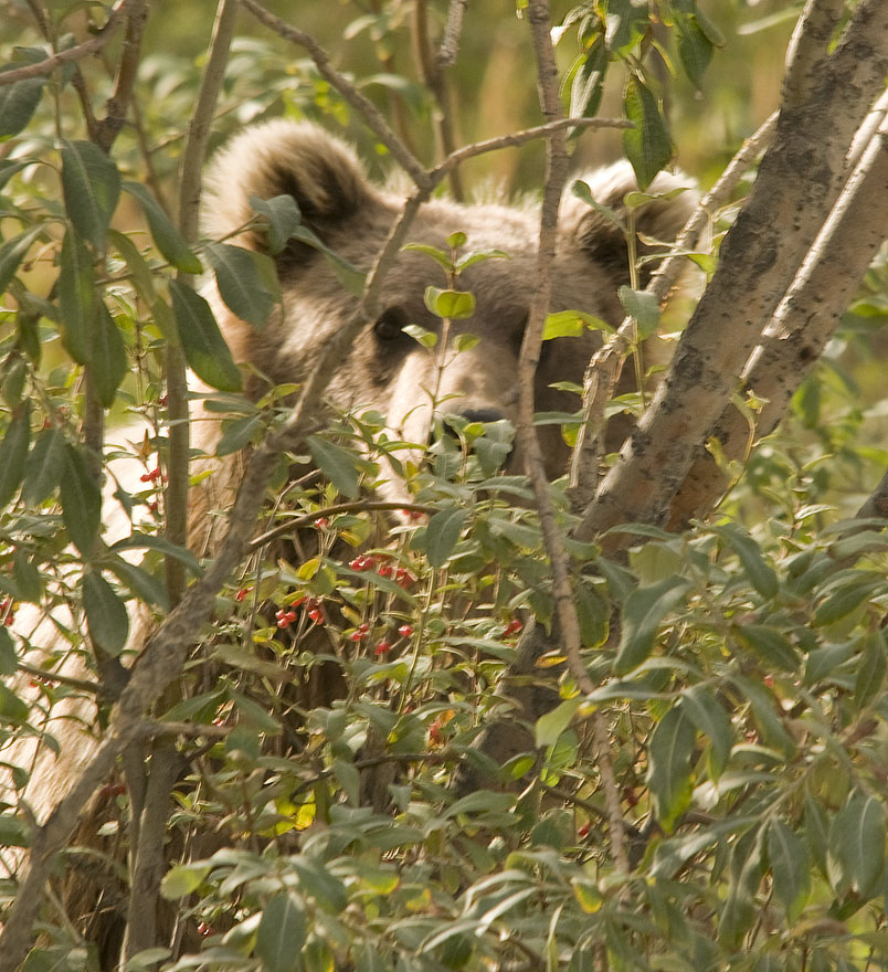
He was crossing the road from west to east when we first spotted him. He was busy eating cranberries by the time we pulled up and stopped. Since he largely ignored us, I got out and stood near the left front fender of the truck (closest to the grizzly) & took lots of photos. Of course, most of them were heavily filtered by the vegetation. Most of the time, he paid no attention to us, but once in a while he'd check us out. He's doing just that in this image.
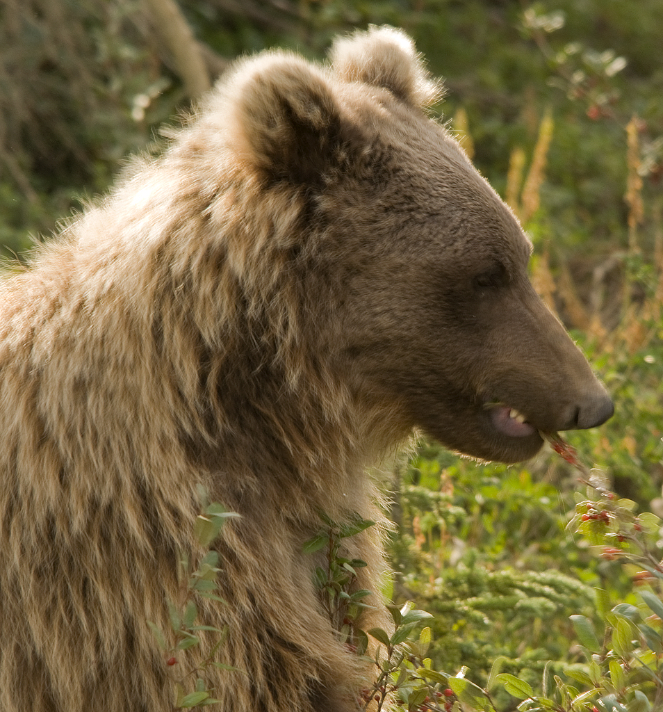
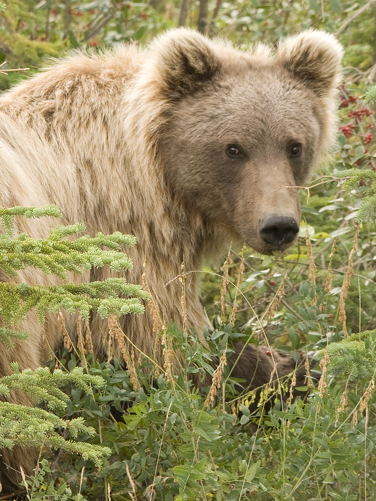
This photo shows him stripping a mouthful of cranberries at once. Grizzlies loose about 40% of their body weight during hibernation, so they've got to fatten up in a big way to get through the winter. And that means lots of berries, among other things like ground squirrels, caribou, anything they can.
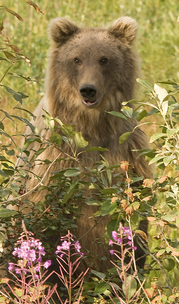
Isn't he just too cute.
Here he is watching me again.
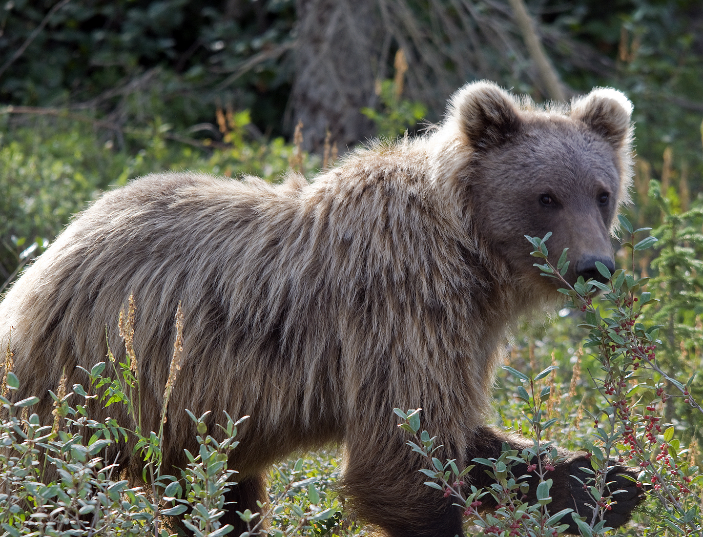
After he had his fill on the east side of the road, he decided to cross back over to the west side. As soon as he started for the road, I started moving back across the front of the truck. I was standing behind my open door when I took this photo of him crossing about 15-20' in front of the truck. We made eye contact several times while he crossed the road. Note those 4" long claws on his front feet.
I'm still standing behind the open truck door as he move into the edge of the forest and starts eating againg. Every once in a while he checks me out.

Another cutsie shot.
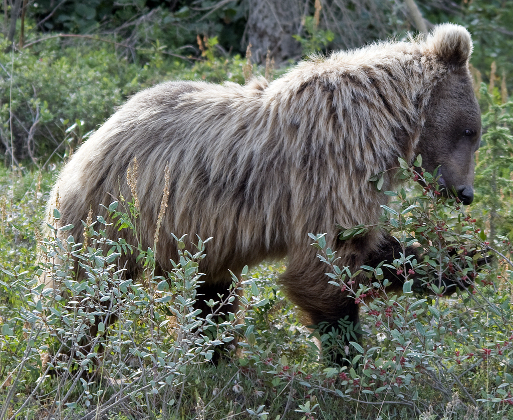
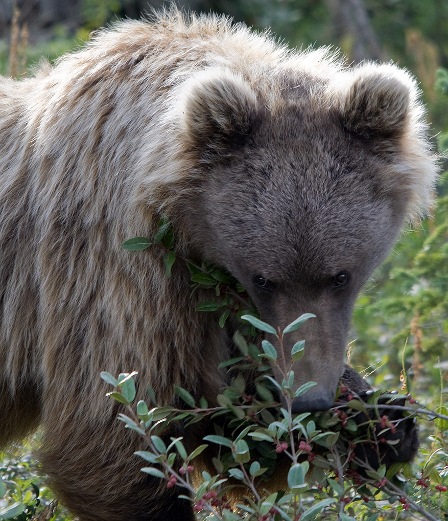
This guy was right-pawed and uses his paw to pull a branch full of berries to him.
He's gettng lazy in this picture as he sits down for a couple of minutes while working a bush.
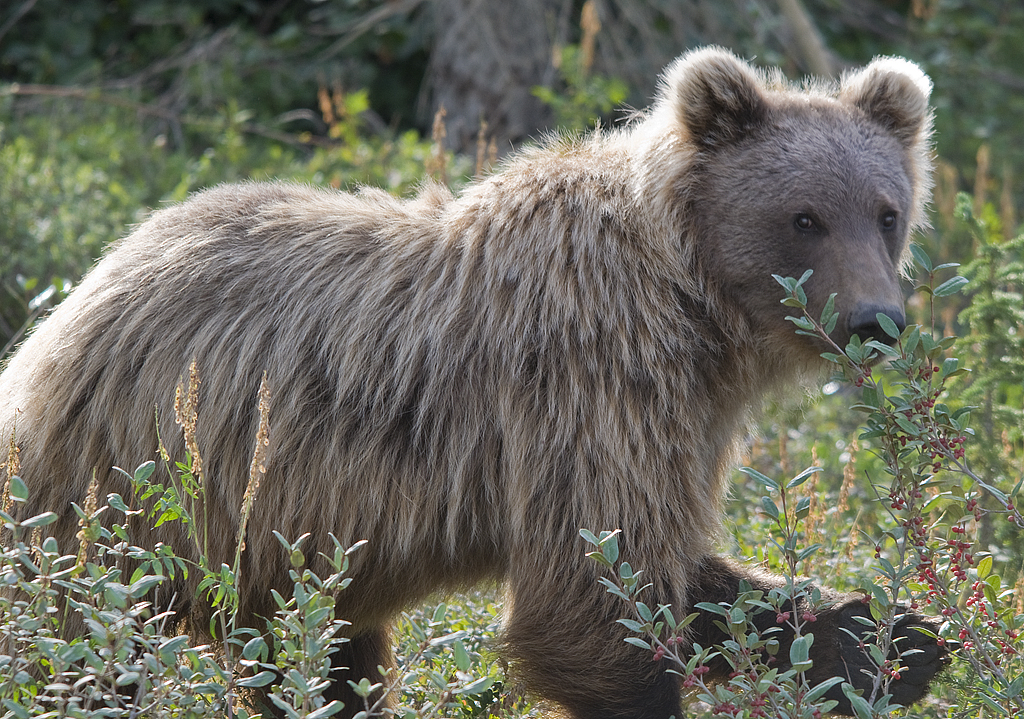
He took particular interest in us as we got ready to leave and stood up for a better view.
Just a couple of minutes after leaving the grizzly, we spotted this lone canine crossing the road. Since CJ was driving, I had my 150-500 out and ready and got this quick photo just before he disappeared into the forest. We thought he was a wolf.
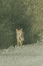
But, closer examination we see that it's a coyote. Not a big deal as we hear them around our house frequently at night.
Here's a few images of the beautiful scenery along the Dalton as we work our way south.
We stopped near the wetlands at the north end of Grayling Lake so Gracie & I could scout for wildlife.
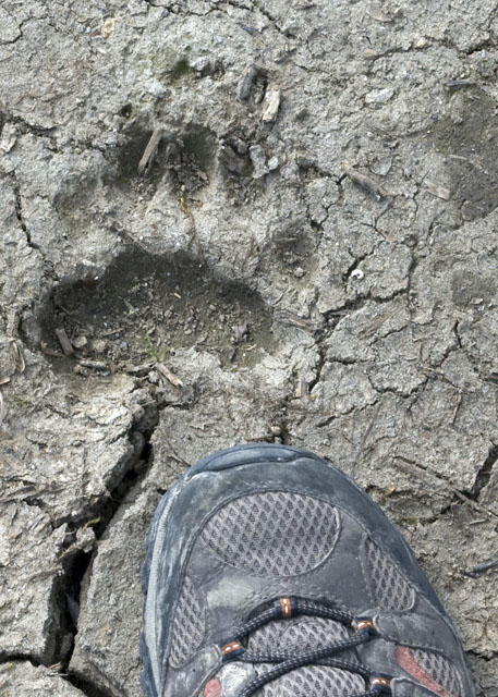
Wolverine track in the mud along Grayling Lake. We missed seeing a wolverine yesterday. Does this count?
Another vista showing that we're getting into thicker forests.
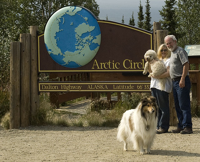
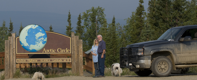
Gracie & Bo'sun didn't cooperate well for the photo-op on the northbound stop, so we kept a tighter rein on them this time, especially Bo'sun aka Nanook of the North.
I found this guy on my floor mat when we were leaving the Arctic Circle park sign. This image is only slightly larger than lifesize.
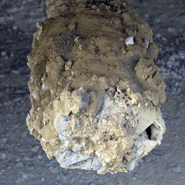
Any guesses what this is?
It's our sewer discharge pipe. We'd broken the original sewer cap with the stream of gravel thrown by the tires, so we covered it with a section of heavy duty truck radiator hose. That worked great for about a thousand miles till the clamp came loose and the hose fell off. A bit of dumpster diving yielded a Styrofoam food tray that I wrapped around the sewer pipe and then added a couple of layers of Gorilla-brand duct tape and then the hose clamp. As you can see, the mud collected an assortment of gravel, but the sewer cap stayed intact. We replace the food tray with a piece of tire inner tube we found along the side of the road during one of our breaks.
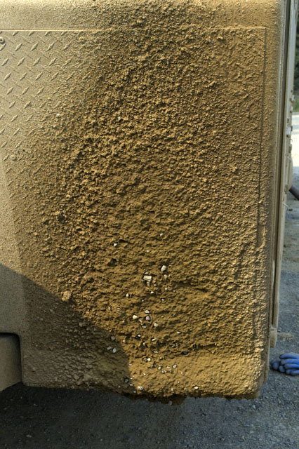
We're stopped to at the dump station at Five Mile Camp to empty our holding tanks after 7 days. This is the mud & gravel on the front of the trailer. Note the gravel that's impaled the mud.
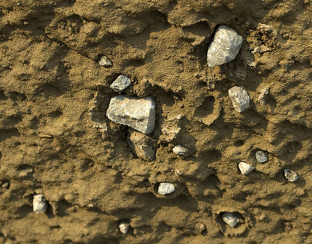
A close up of the gravel stuck in the mud on the front cap of the trailer.
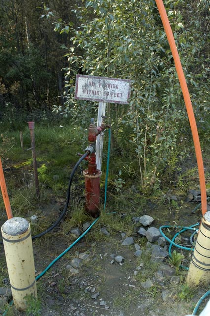
The fresh water source at Five Mile Camp is a a real antique.
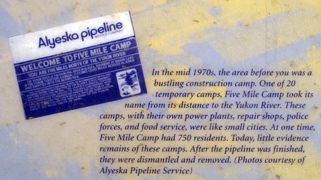
For a minute we thought we only had 5 miles to go on the Dalton, but that's not how the camp got it's name. We actually have 60.2 miles to go yet.
Here's our campsite at Five Mile Camp.
And here's the view of the restaurant, gift shop, etc that's just over the berm from our campsite. They don't have any utilities here. None. Not even a phone. The owner of the place drives into Fairbanks every other week and phones in her handwritten credit card chits.
August 3rd - Dalton Highway - Chena River SRA, Fairbanks [top of page]
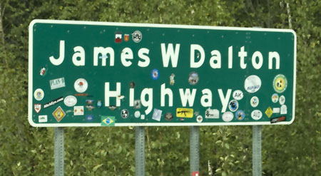
 Here
we are at the start/finish of the Dalton Highway. We made it!
Here
we are at the start/finish of the Dalton Highway. We made it!
Where else can you pull over into the oncoming traffic lane on a mountain highway and take a picture?
Ah yes, pavement doesn't mean smooth. How's this for a roller coaster of frost heaves?
We must be getting close to civilization; this sure looks like a 4-lane highway.
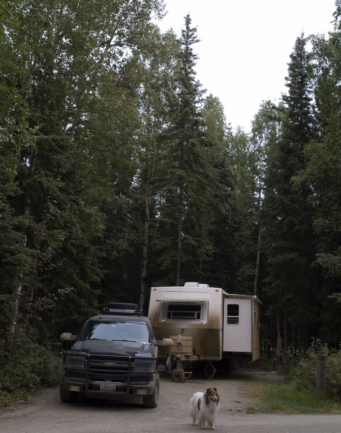
We spent the next couple of days at the Chena River Wayside SRA in Fairbanks. This lovely little park is in town just across the road from the college.
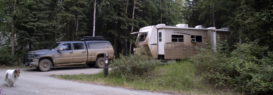
Another view of our site and our dirty rig.
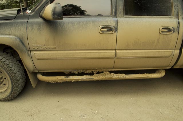
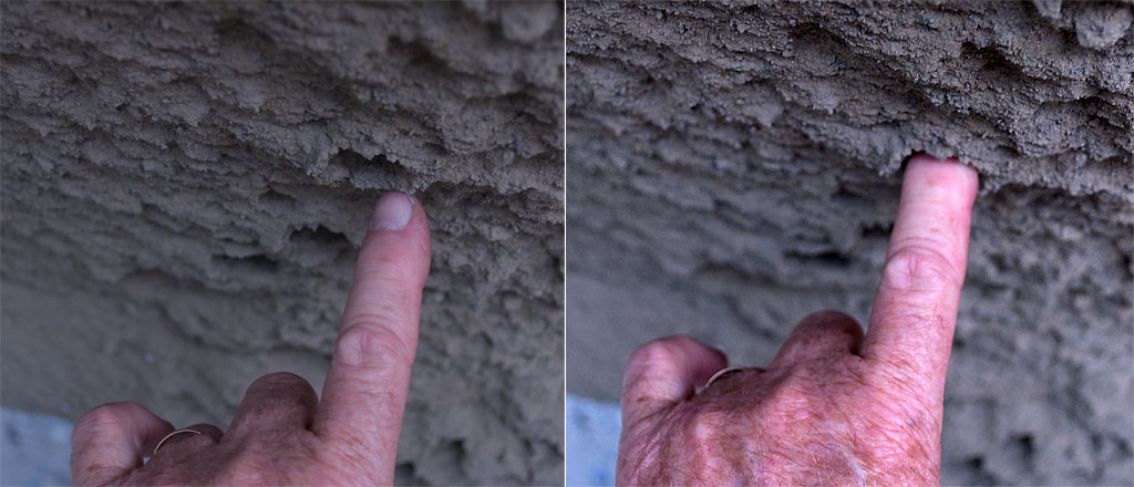
We had to keep kicking the mud off the running boards so we had a clear (sort of) path into the truck.
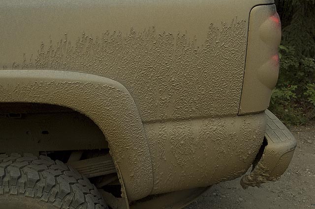
The mud & dust is so thick it's caked on.
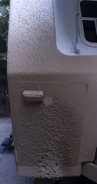
Remember those bits of gravel stuck in the mud on the front of the trailer?
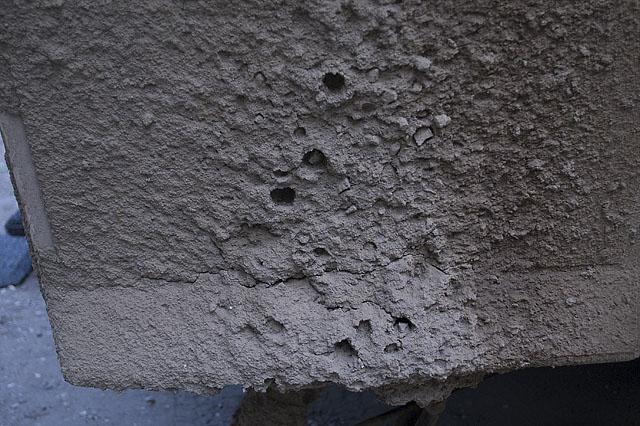
Well, here's what it looks like after some of the gravel has fallen off.
These two images illustrated the force of the gravel when it hits the mud that's stuck to the aluminum diamond plate we installed on the front cap to protect the fiberglass.
August 4th - Chena River SRA [top of page]
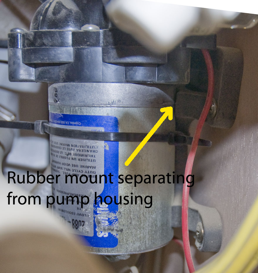
This photo shows our fresh water pump being held together with a wire tie. Note how the mount is pulling out of the pump housing because of the vibration.
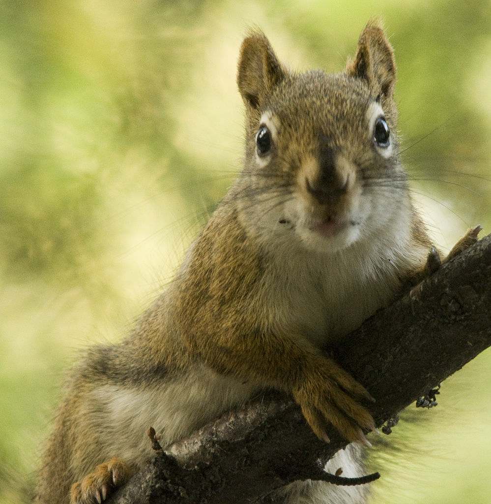
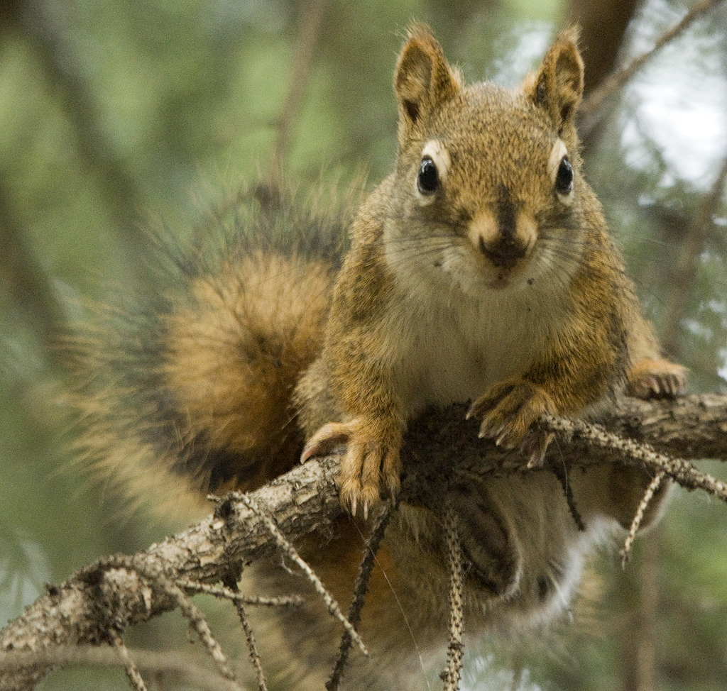
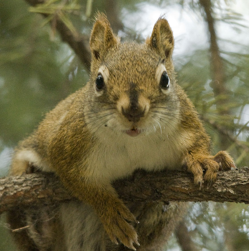
Gracie found this little guy and asked me to take some photos and put them on the web site. Actually, I think she was asking me to get him down so she could play with him.

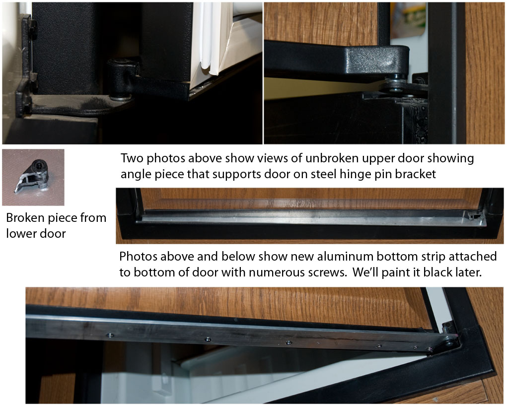
This composite photo tries to show how our refer door broke. I could have taken better photos, but the priority was getting it fixed ASAP.
August 5th - Chena River SRA [top of page]
August 6th - Riverview RV Park, North Pole [top of page]