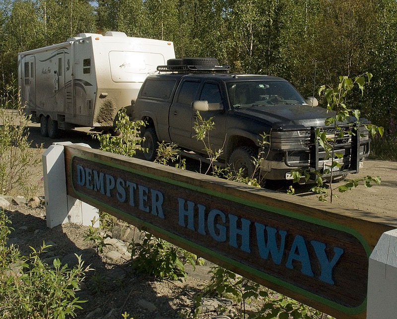
Dempster Highway: Dawson City, Yukon to Inuvik, NWT
(200km north of Arctic Circle) & back
July 8th to July 18th
| Day # | Date | Description | Link |
| 32 | July 8th | Dawson City to Engineer Creek Campground |
|
| 33 | July 9th | Dempster Highway |
|
| 34 | July 10th | Dempster Highway |
|
| 35 | July 11th | Dempster Highway & arrive in Inuvik |
|
| 36 | July 12th | Inuvik |
|
| 37 | July 13th | Inuvik |
|
| 38 | July 14th | Dempster Highway |
|
| 39 | July 15th | Dempster Highway |
|
| 40 | July 16th | Dempster Highway |
|
| 41 | July 17th | Dempster Highway & arrive in Dawson City |
|
| 42 | July 18th | Dawson City (or maybe the Yukon River Campground) |
|
July 8th - Dawson City to Engineer Creek Campground [top of page]
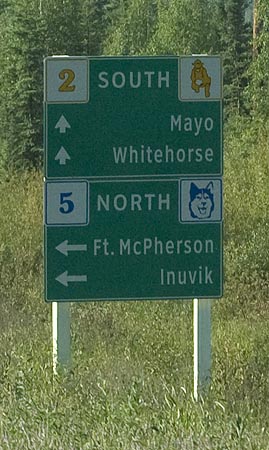
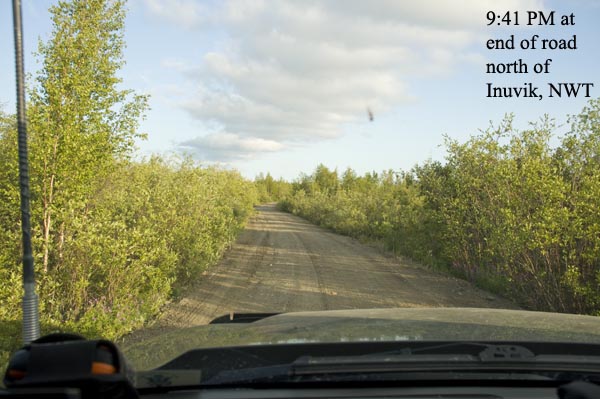
The turn to Inuvik from 20 miles south of Dawson
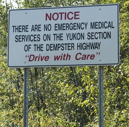
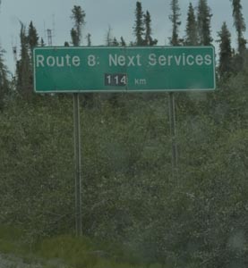
There are 289 miles of the Dempster Highway before getting to the Northwest Territories.
BTW, there aren't any services in the Northwest Territories section, either. We're on our own now.
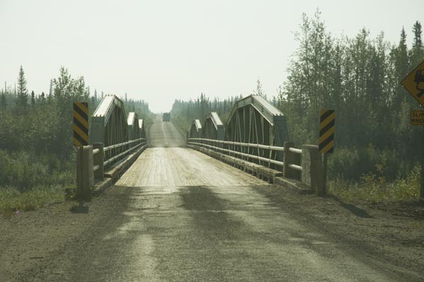
A one-lane wooden decked bridge gets us started in the right mind set
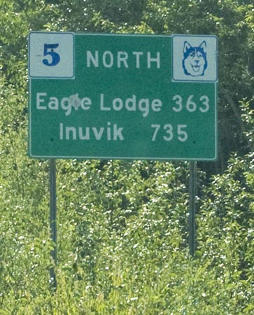
The next signs of civilization
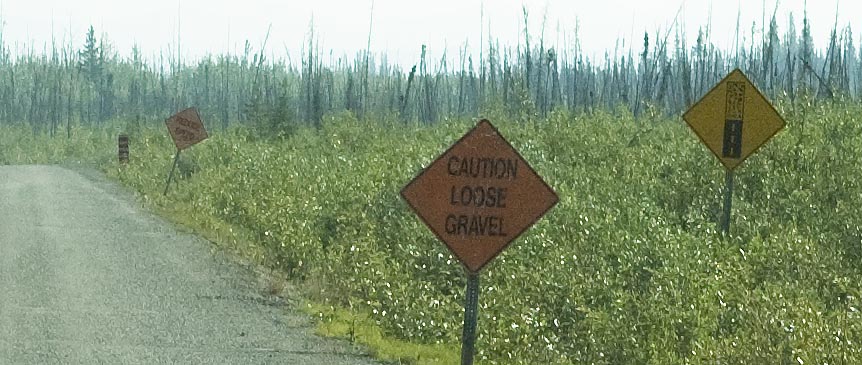
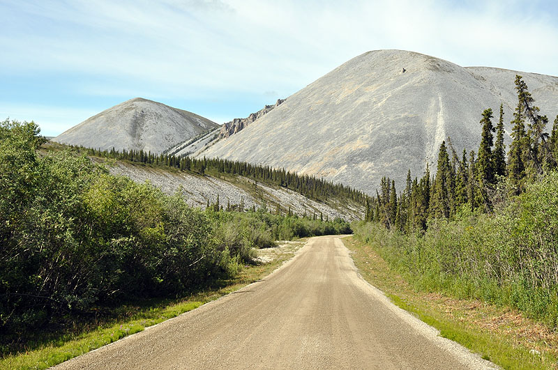
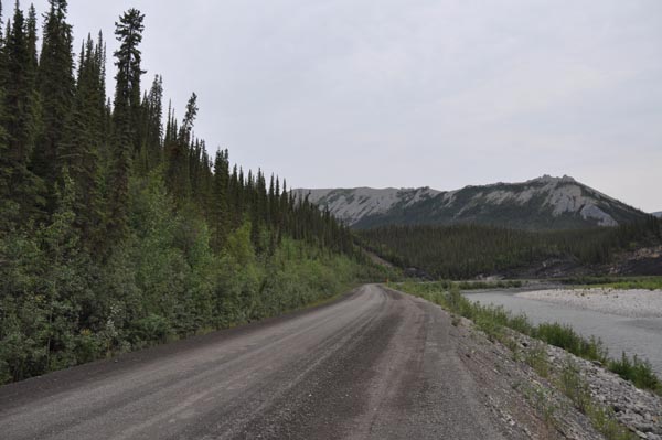
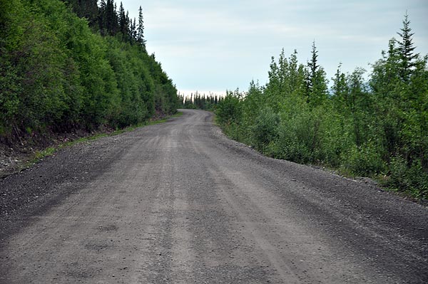
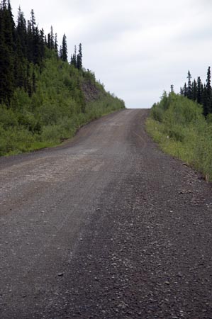
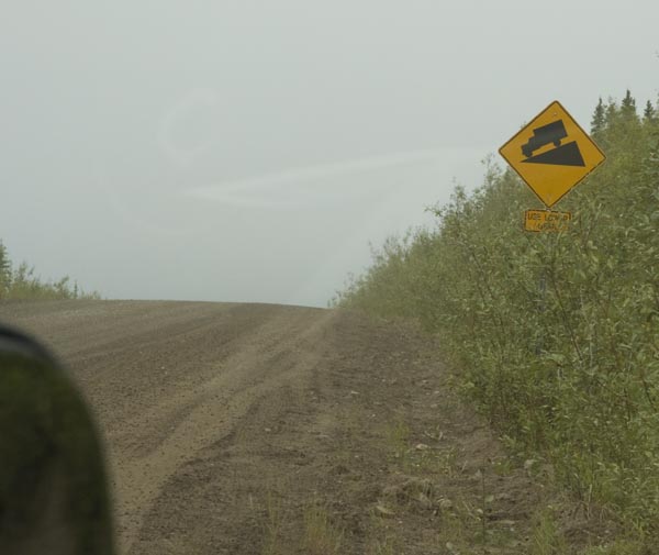
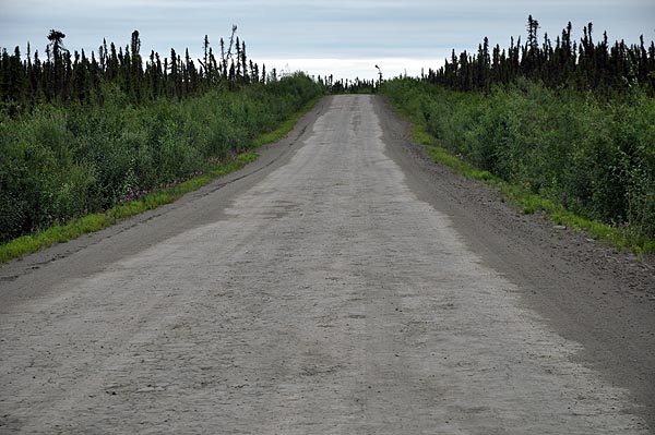
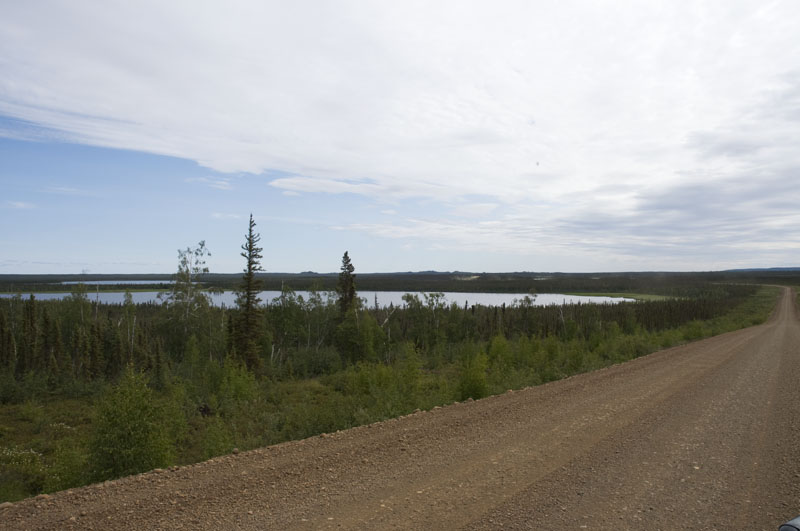
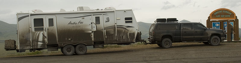
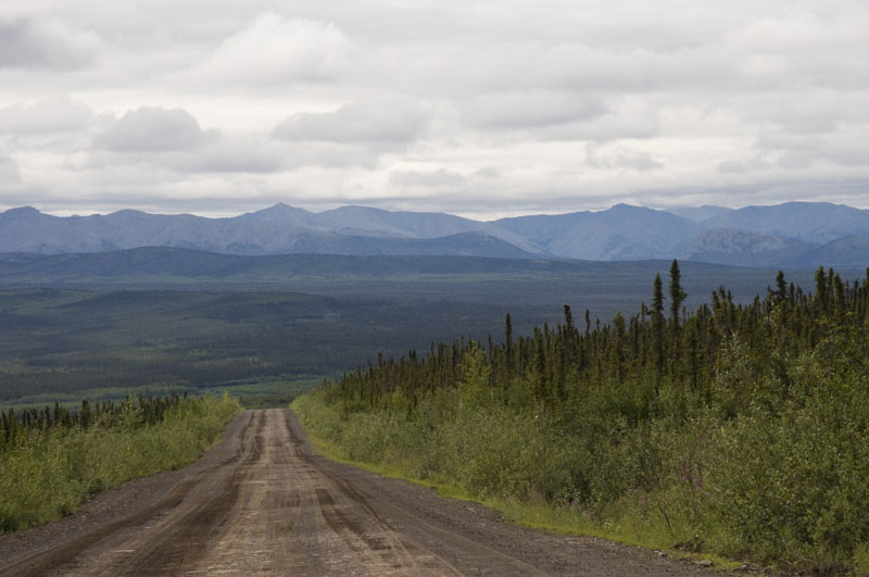
The end of pavement for the next 430 miles.
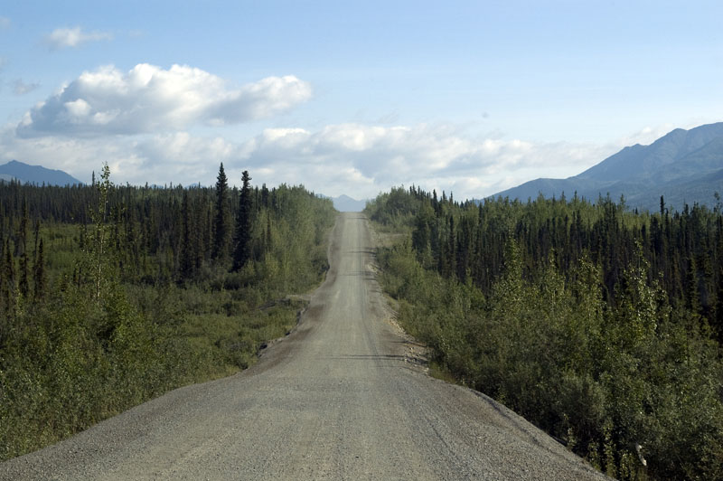
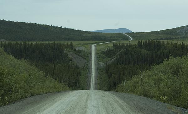
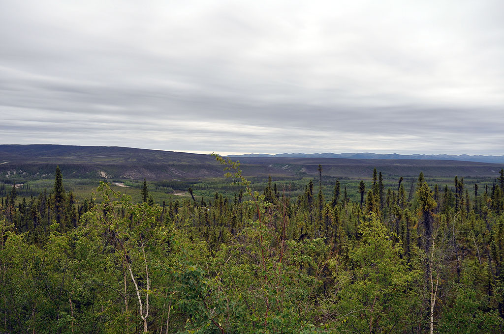
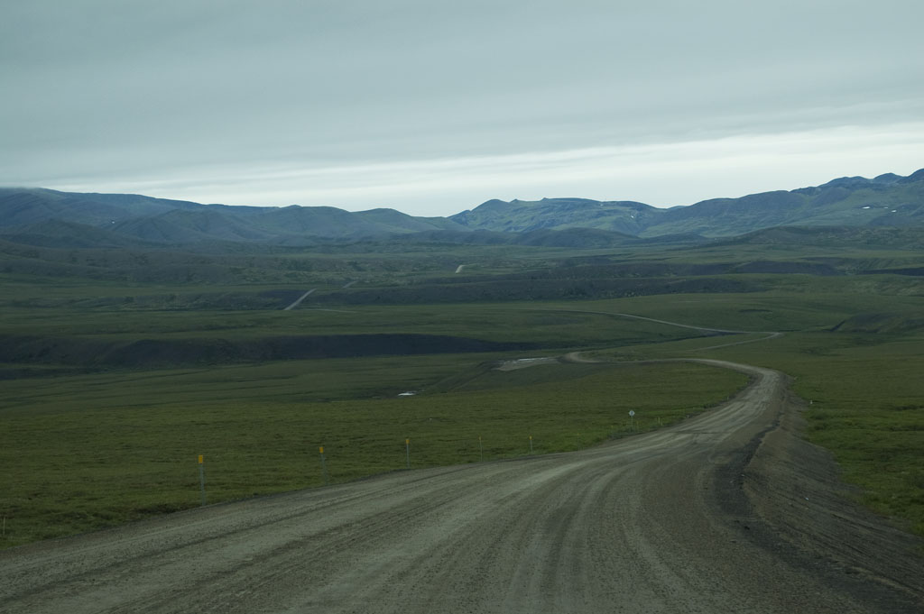
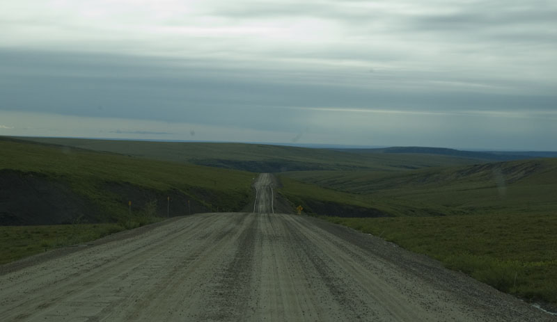
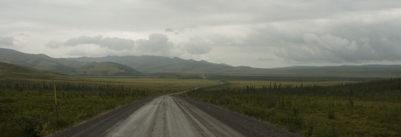
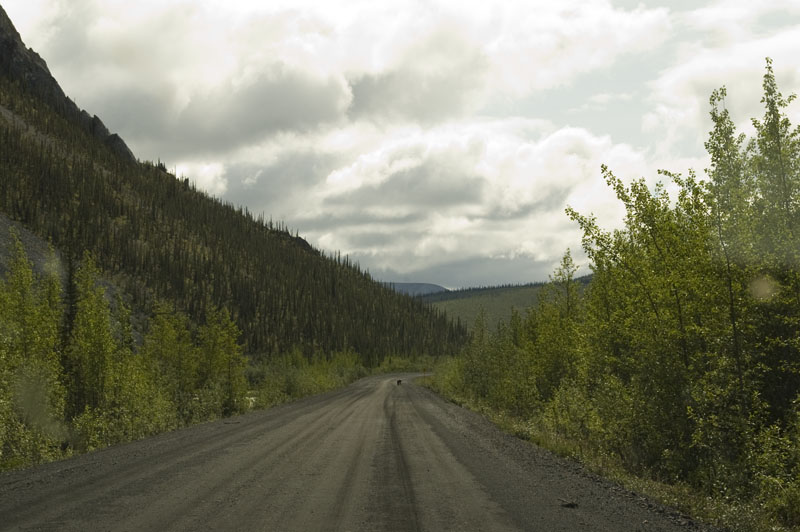
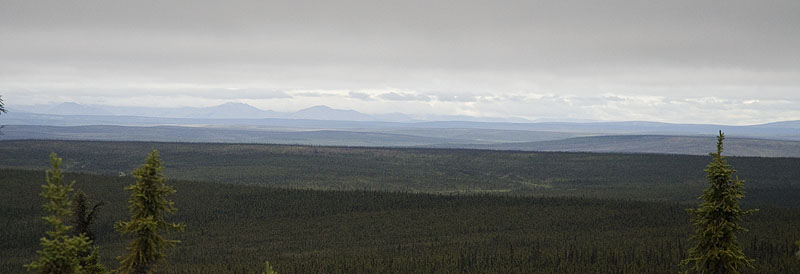
This is what our life is going to look like for the next 11 days. Actually, from what we've been told, this is the best section.
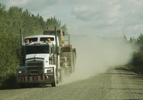
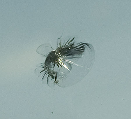
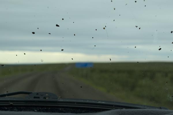
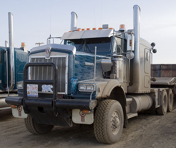
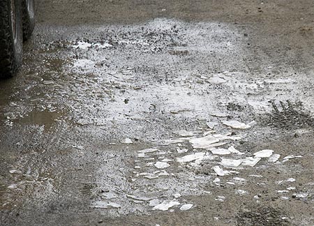
Just 35 minutes on the Dempster & we meet our first big rig. This guy was haulin' and didn't slow down a bit. I took the photo of the windshield's Dempster Initiation Chip 28 seconds later. We expected to we'd have to replace the windshield when we got home, but we'd hoped we'd get further than this before it was damaged.
One of C.J. many photos actually taken through the dusty windshield as I'm driving. A pro couldn't make most places look this good.
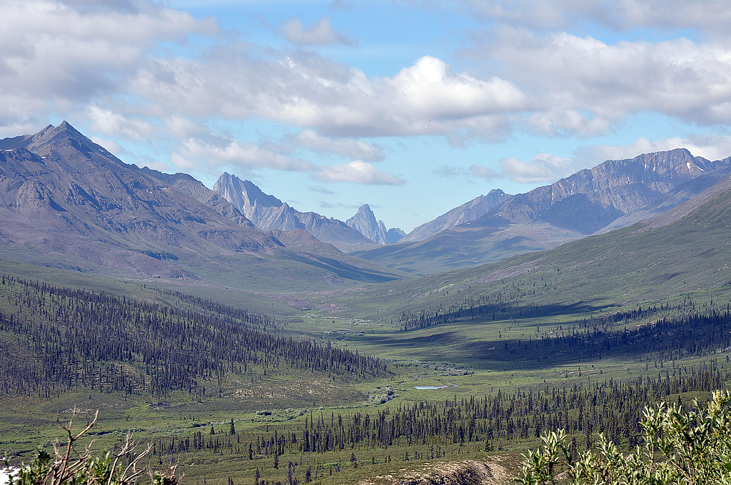
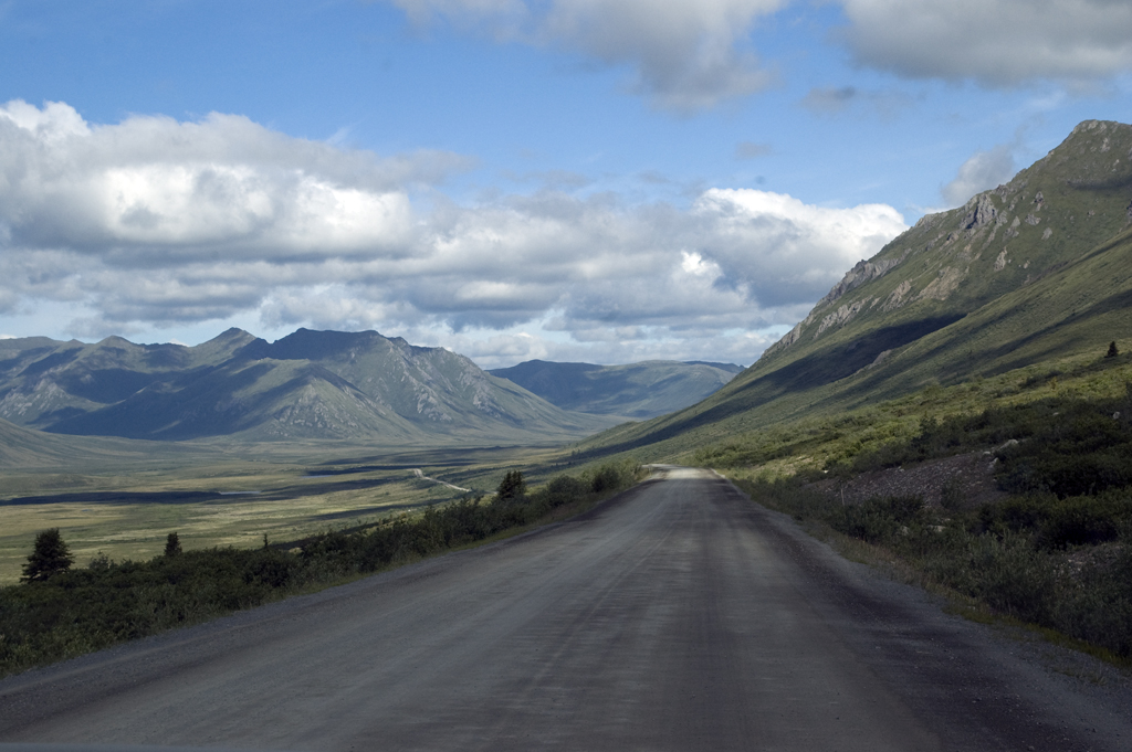
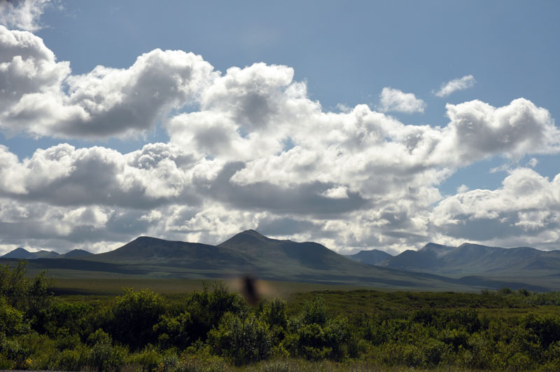
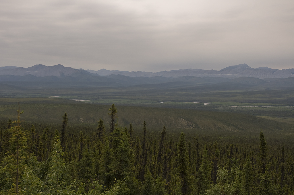
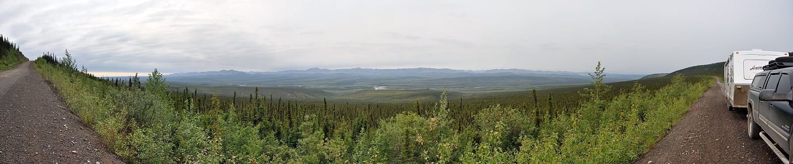
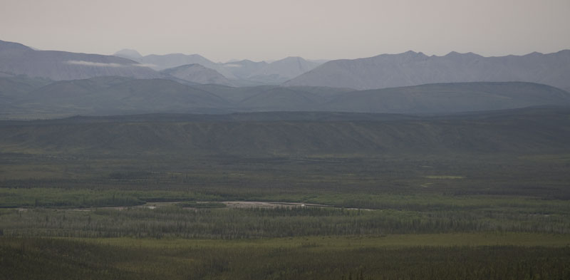
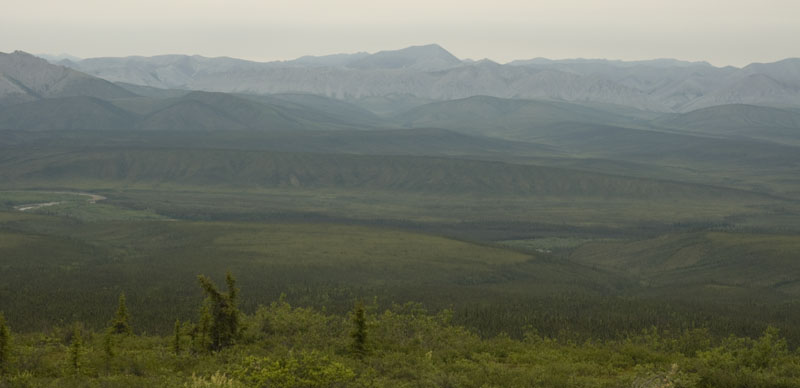
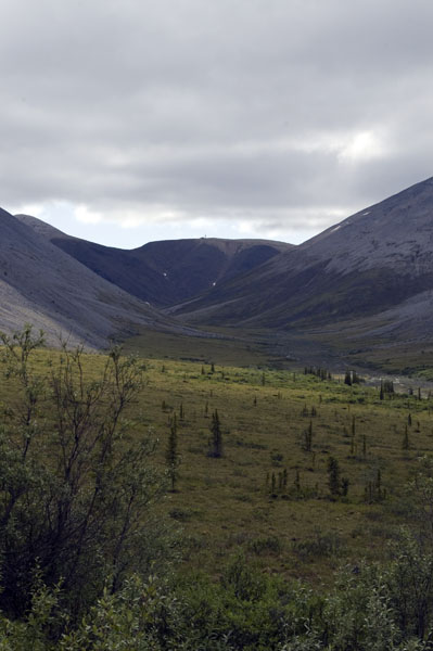
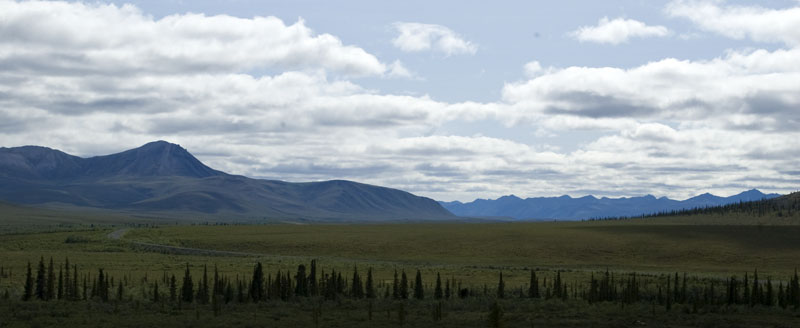
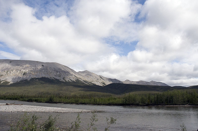
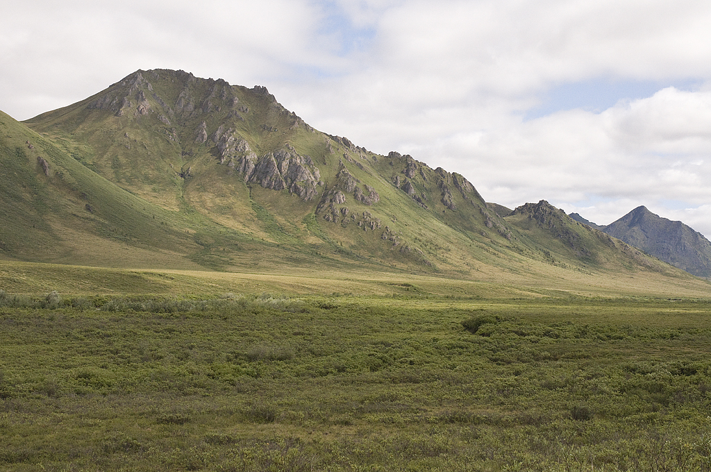
A stunningly beautiful vista of the Tombstone Mountains
Yes, that's snow that hasn't melted yet.
See the face in the mountain?
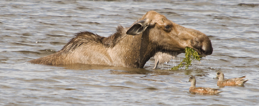
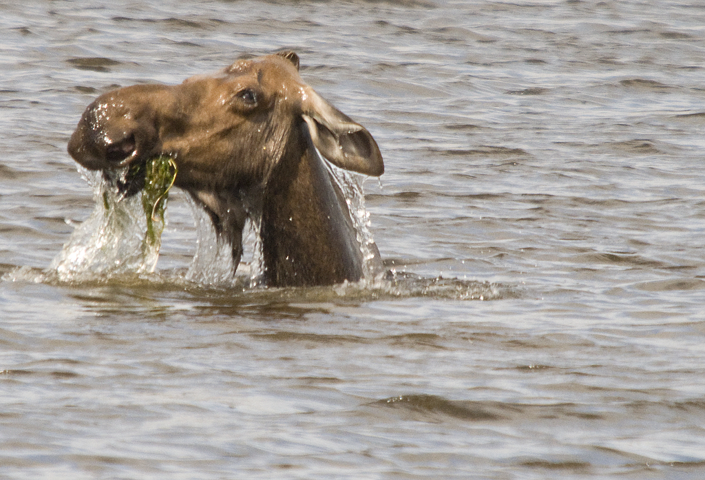
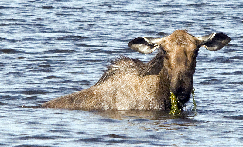
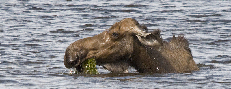
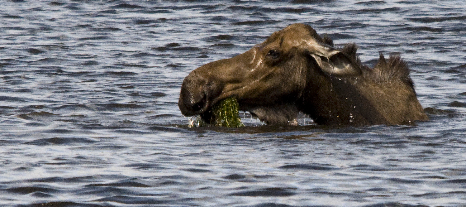
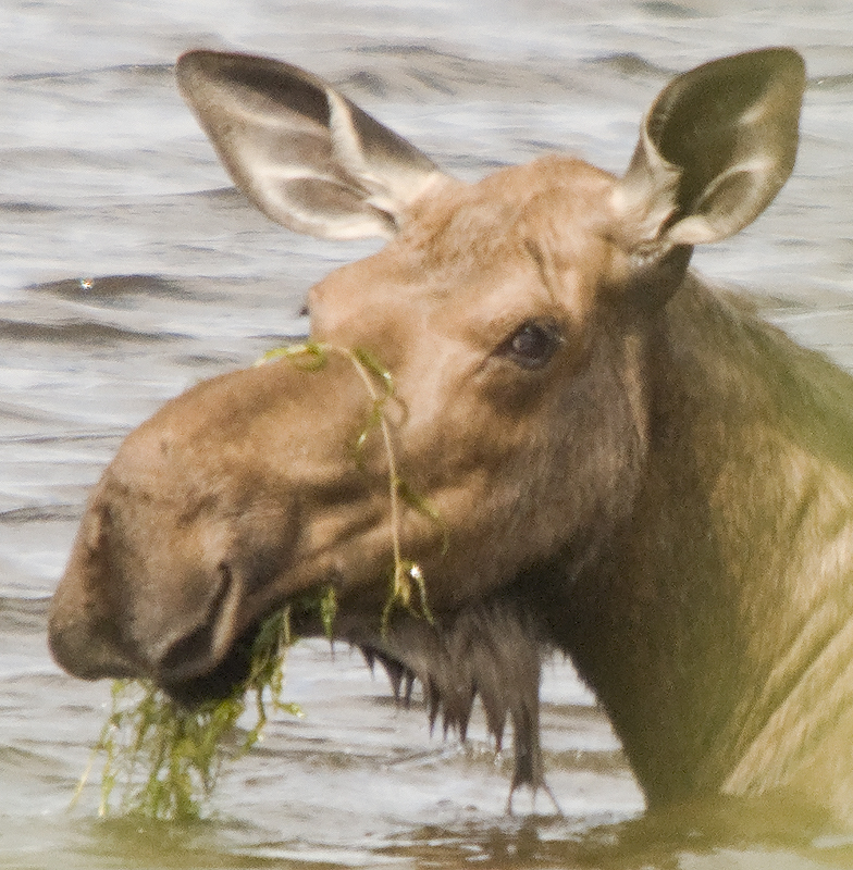
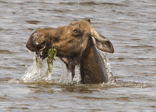
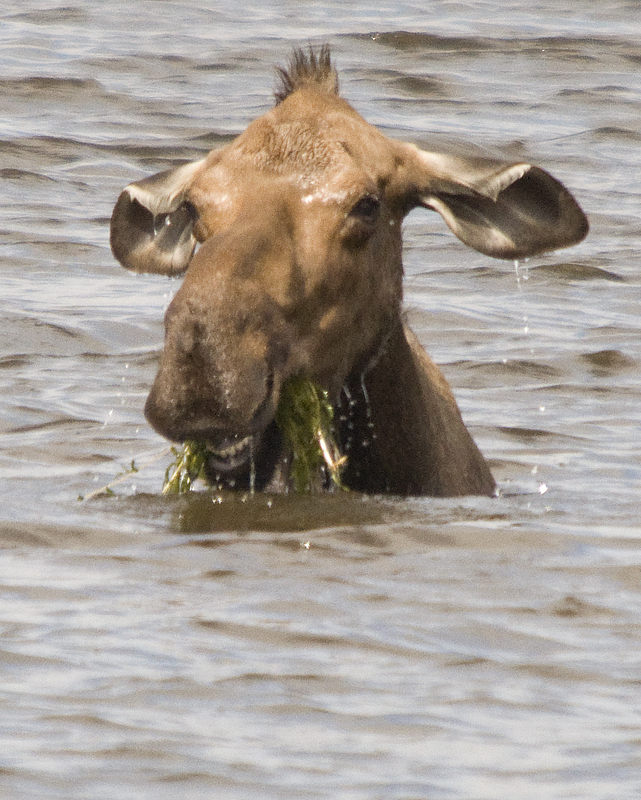
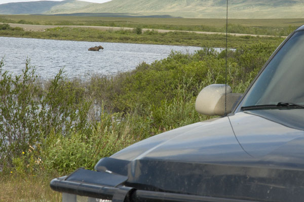
Two Moose Lake
Another photo out of the windshield, complete with bug.

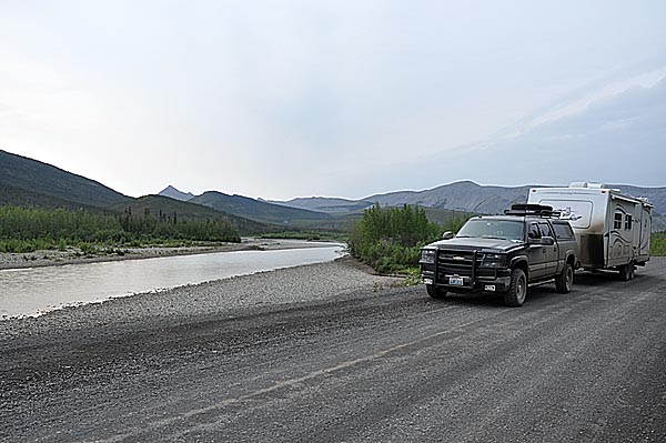
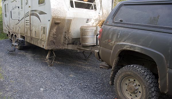
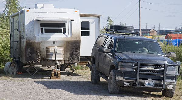
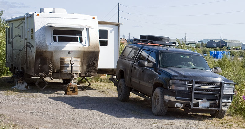
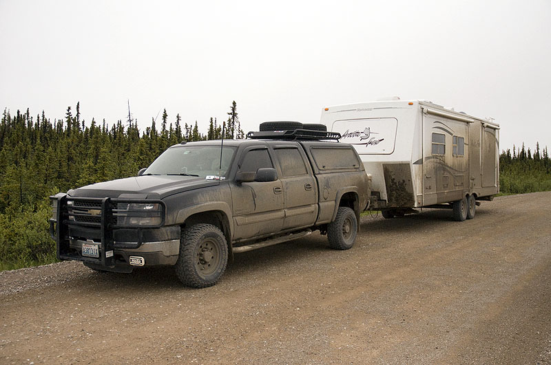
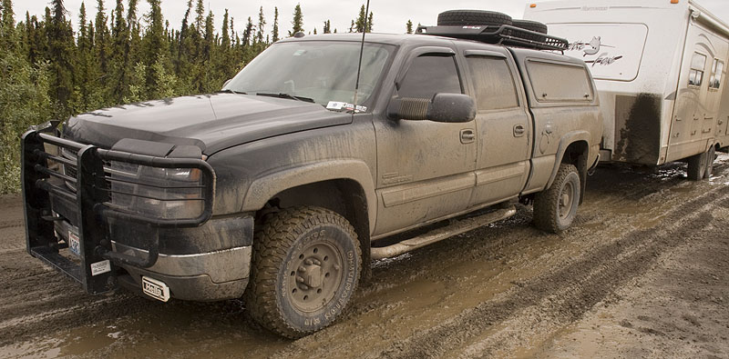
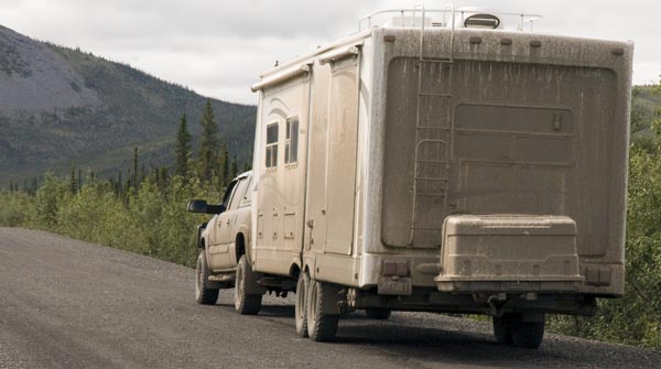
Gracie waits for dad. The rig is getting dirty again. The diamond plate we added to the trailer works great.
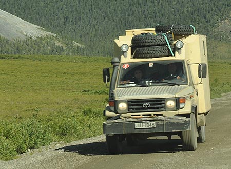
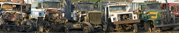
We saw this Toyota Land Cruiser in Whitehorse
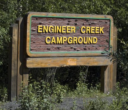
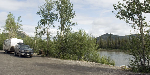
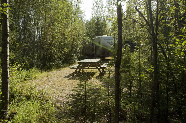
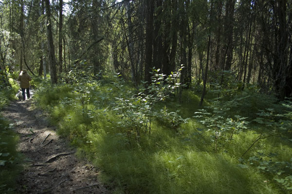
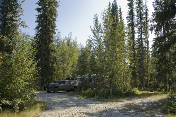
Our first night on the Dempster was spent at Engineer Creek Campground
Bo'sun supervising
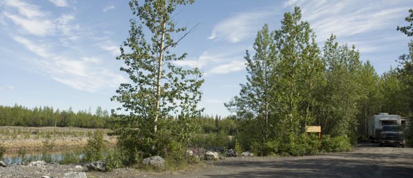
This image shows our campsite on the right and the creek on the left. Just 8 campsites in this campground
I took this photo from the steps of our trailer
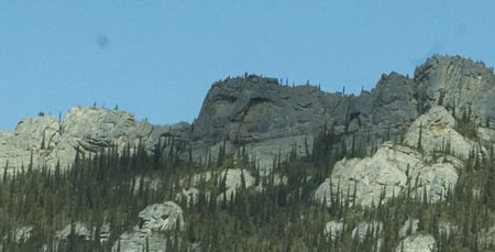
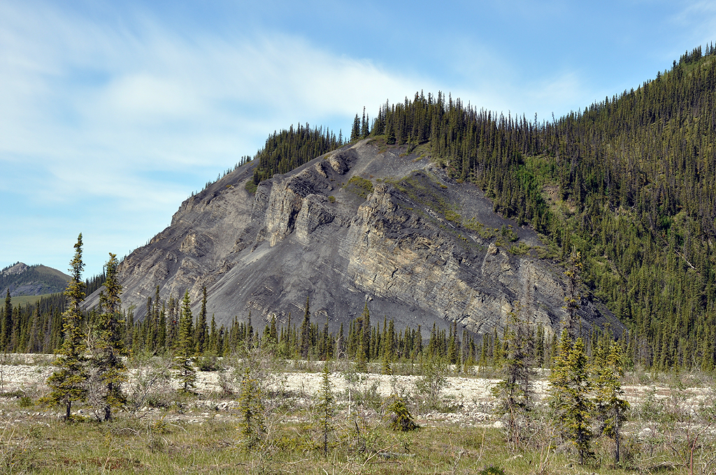
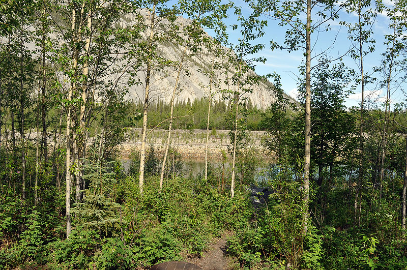
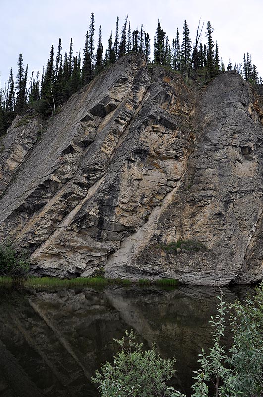
Engineer Creek & "Sapper Hill"
FYI: Sapper is slang for Engineer
July 9th - Dempster Highway [top of page]
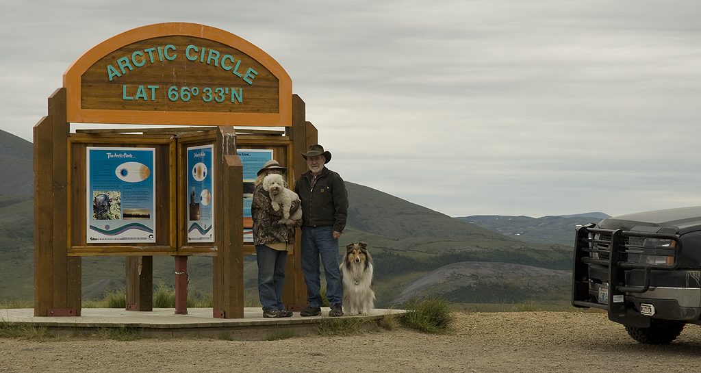
The big event of the day; crossing the Arctic Circle. Our self-portrait at the Arctic Circle
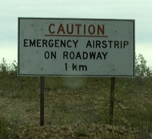
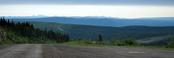
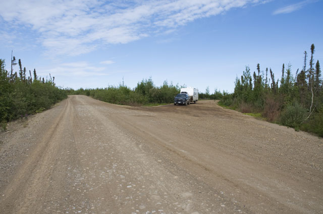
Sometimes a long, straight stretch of the highway is used as an airstrip. It doesn't need to be level, or even particularly smooth. Just straight.
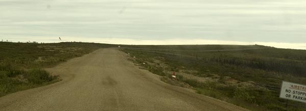
You can see from this photo that the airstrip isn't very wide or flat. If it looks like it's going uphill, that's because it is.
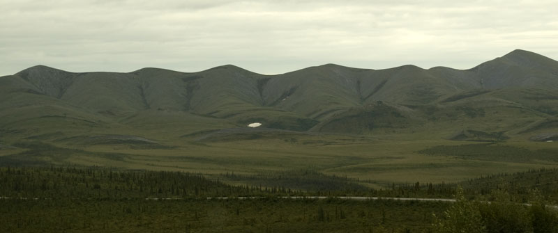
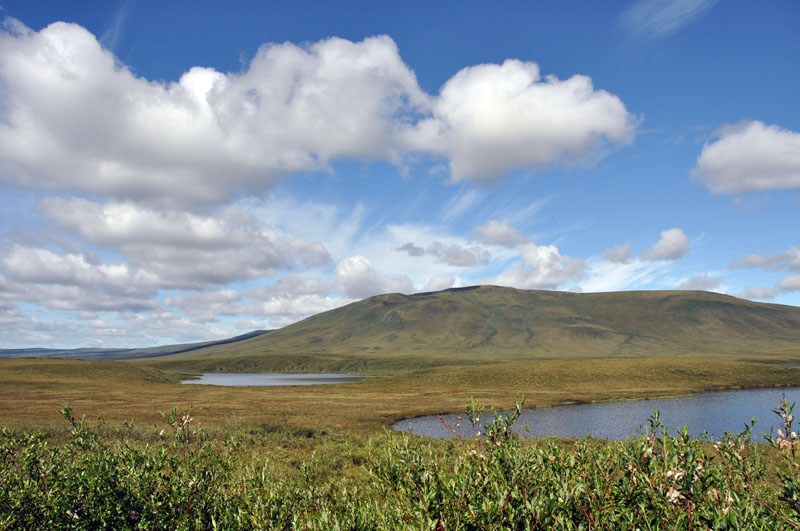
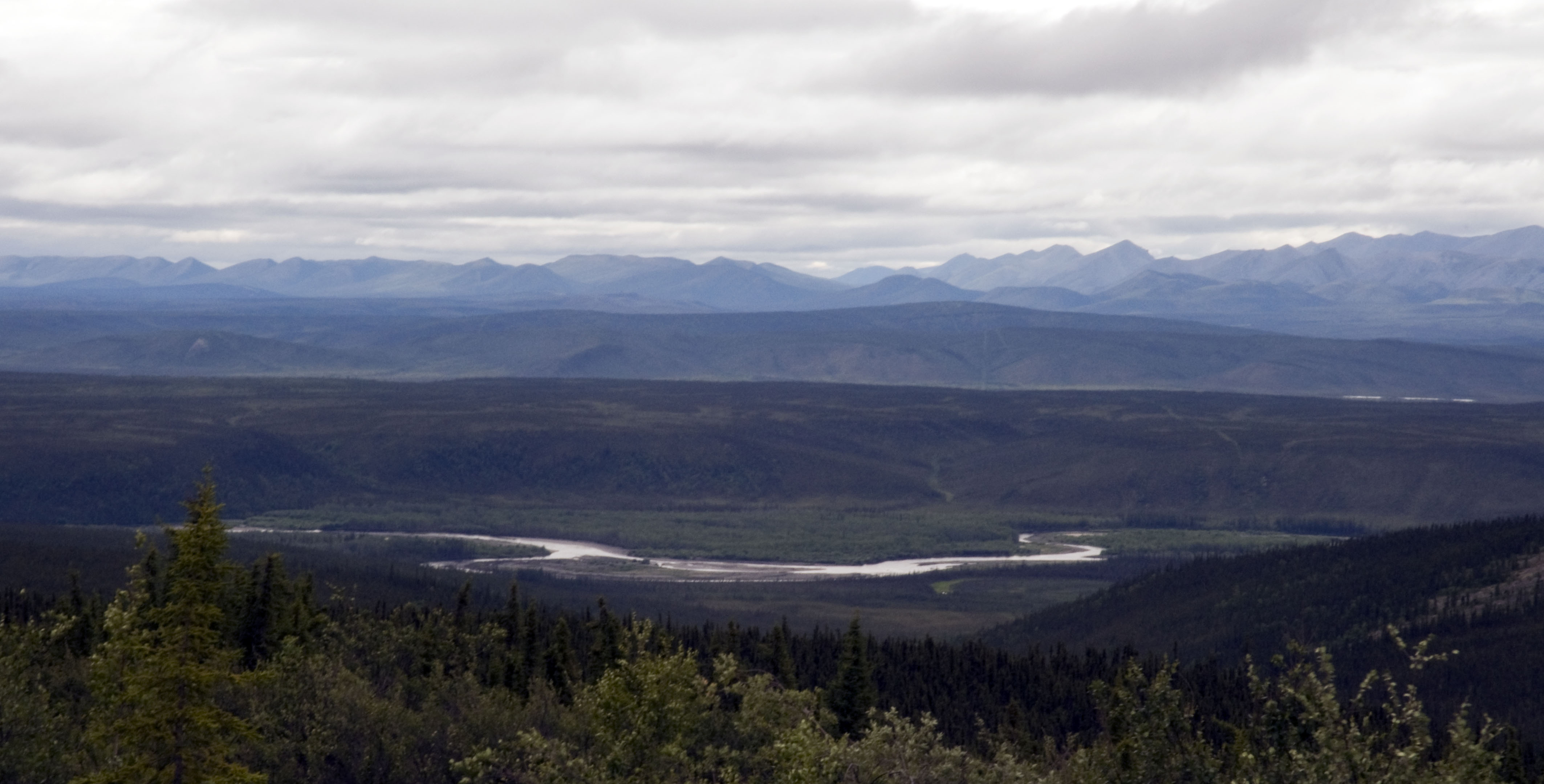
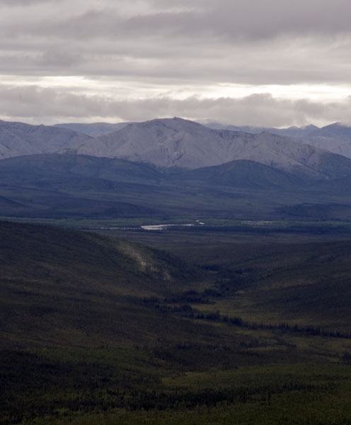
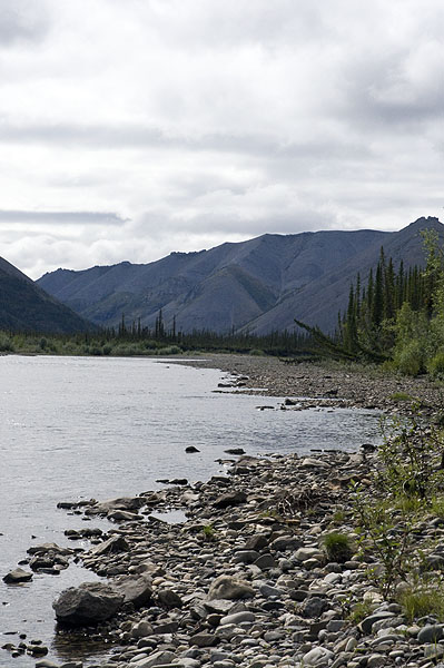
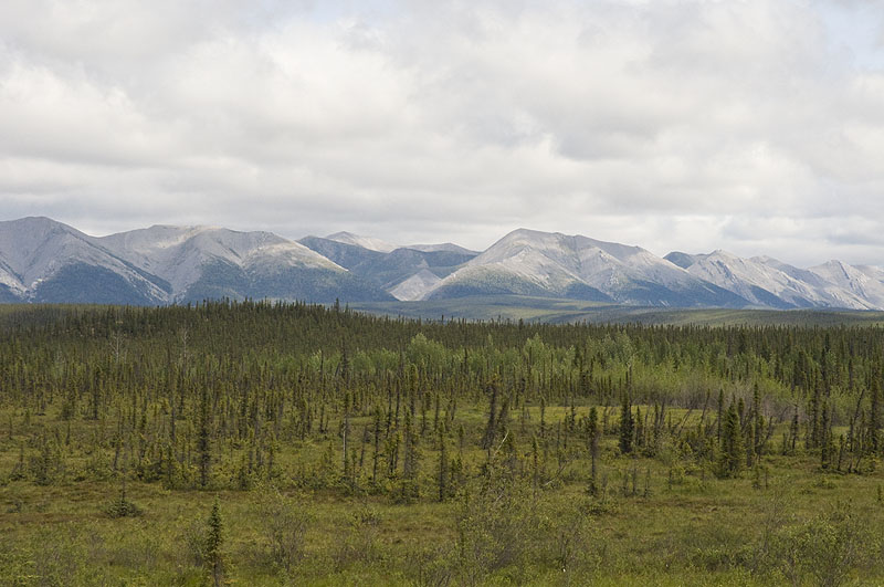
A view of one of the mountain ranges across the valley.
Grades on the Dempster can be quite steep. This one wasn't long, but it was at least 12%.
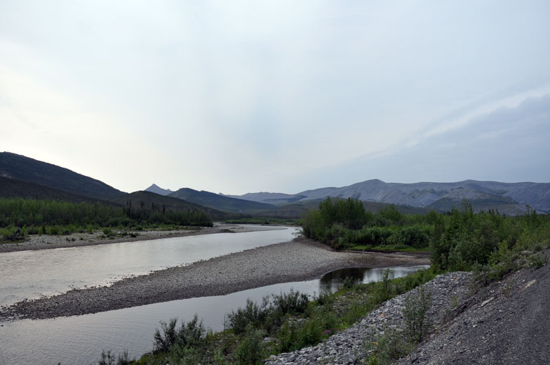
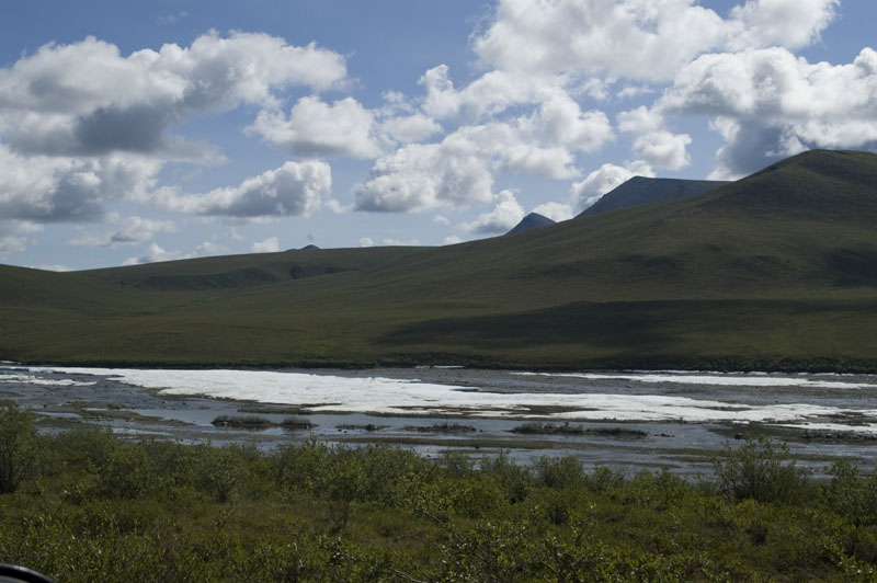
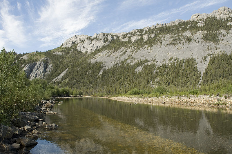
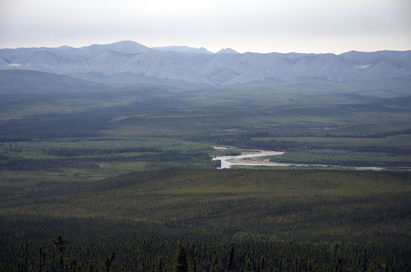
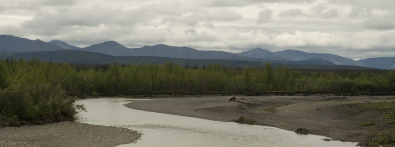
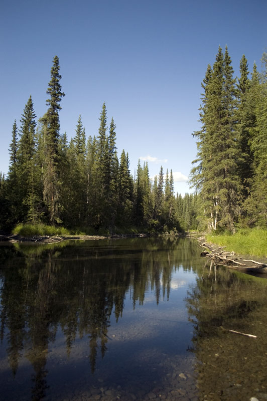
The Ogilvie River
Same viewpoint as the photo above, just looking north instead of south.
Stepping back to take a photo of our rig along the Ogilvie River at the same viewpoint.
This photo didn't quite capture the color image of the rocks & the reflection, but it's still pretty.
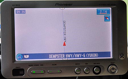
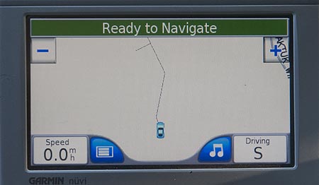
This is about all the GPS shows for hours on end, with an occasional turn thrown in.
Seven-Mile Hill. Another 12% grade but longer.
![]()
Shortly before we reached the summit, the transmission was running about 250F because I'd forgotten to engage Tow/Haul mode. We were pulling the grade in 2nd gear and the torque converter doesn't lock up in 2nd gear in Normal mode. A slipping torque converter makes a lot of heat. We let it idle a few minutes in neutral and once it had cooled to 200F, we proceeded in Tow/Haul. We crested the hill at 185F and the transmission dropped to its normal 155F on the descent. Fortunately, we had converted the transmission fluid to "Transynd", a heavy-duty synthetic made for Allison transmissions that can sustain 500F before being damaged. FYI, Transynd costs over $10/quart.
Might as well take some photos while we're waiting for the transmission to cool.
A photo of the grade at 7-Mile Hill. Much steeper than any highway in the lower 48.
Looking back down the grade from where we stopped.
![]()
What goes up, must go down. Except when you're heavily loaded, it's the downhill sections that are the worst because it's so easy to burn up the brakes if the speed isn't controlled with the engine. Simply lifted off the gas pedal does nothing to slow the rig down when you weigh 21,000#.
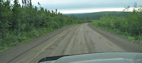
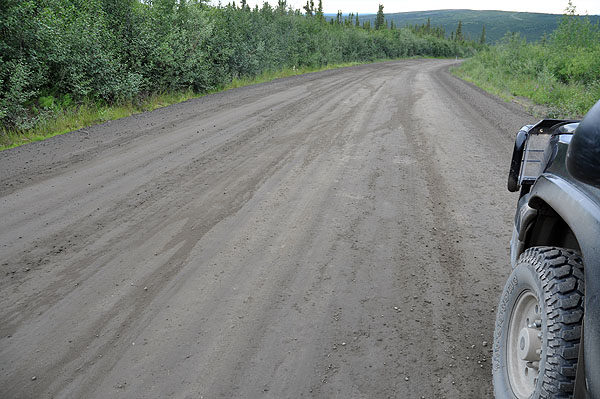
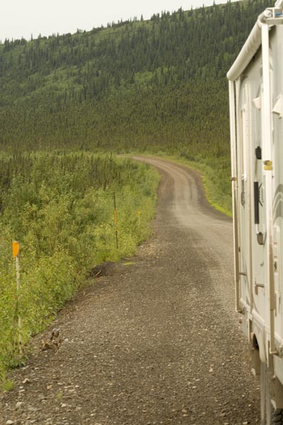
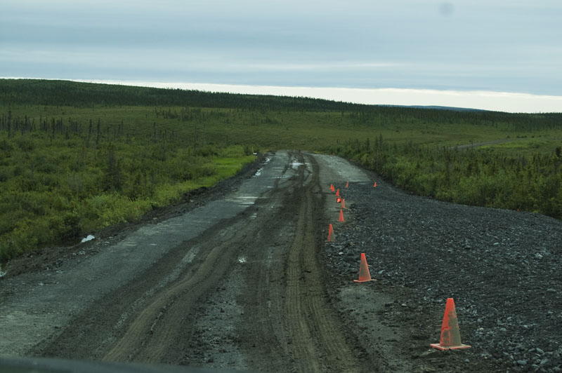
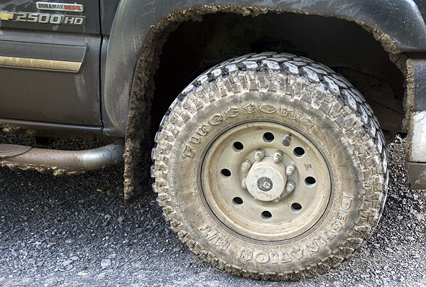
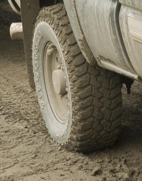
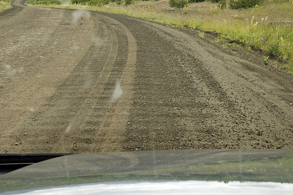
These two photos are vain attempts to show the poor condition of the road.
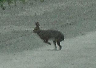
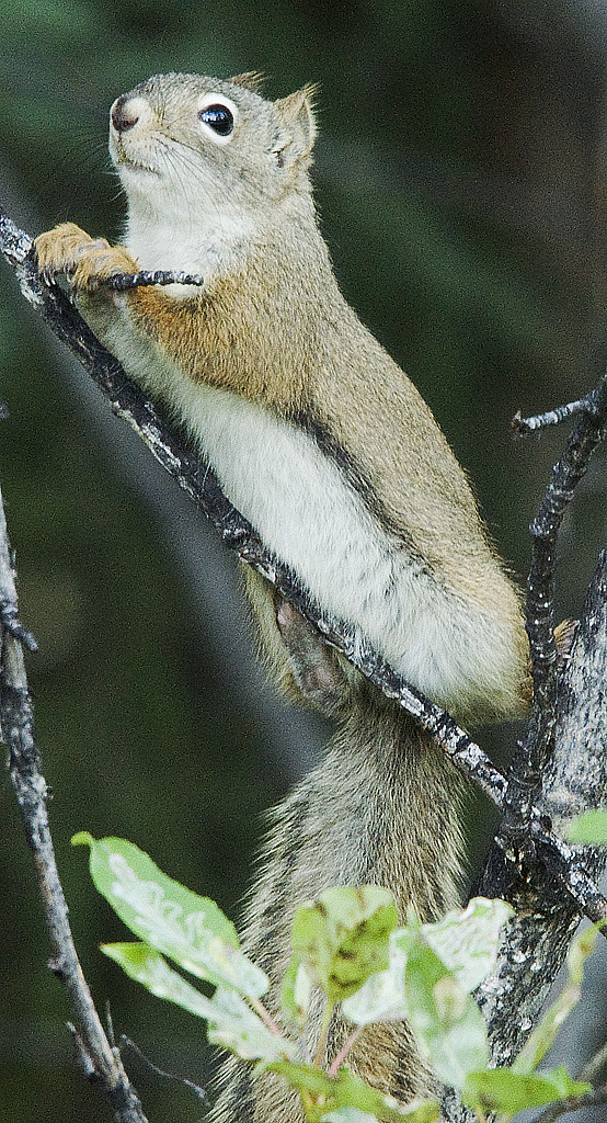
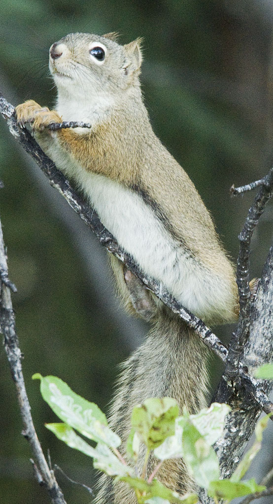
One of several rabbits that ran across the road in front of us. You have to be really quick with the camera to capture one of these brief wildlife encounters.
Another photo that shows the condition of the road.
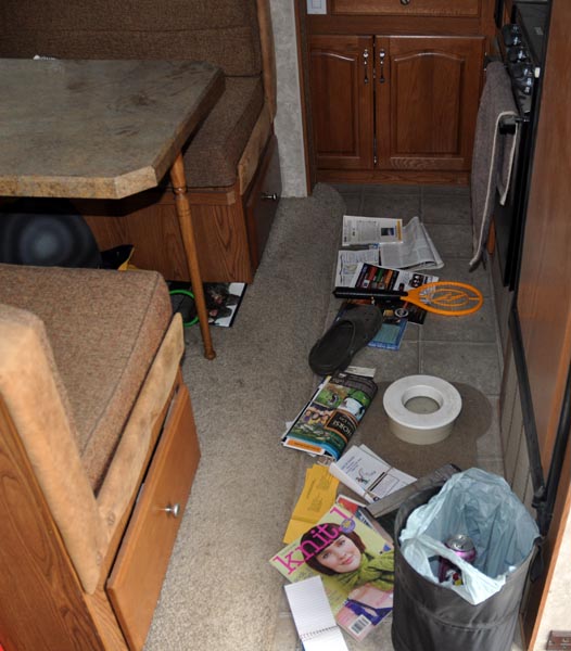
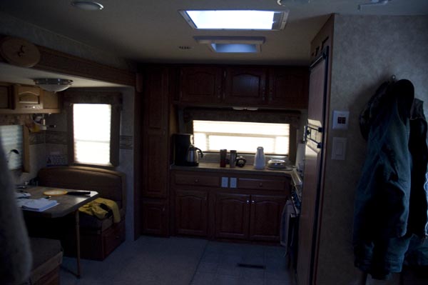
This is what it looks like inside the coach after a while on one of the rougher sections.
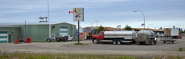
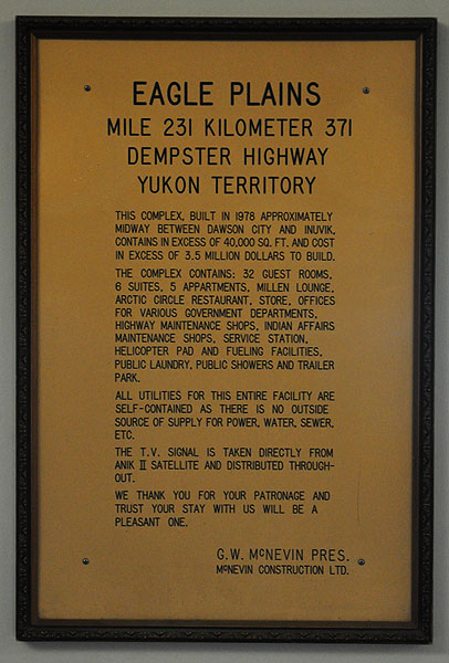
The service end of the facility at Eagle Plains, the halfway point.
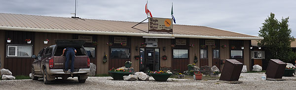
The restaurant & hotel end.
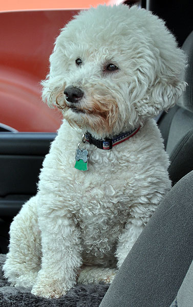
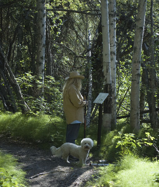
I took this photo of Bo'sun in his usual stance while he's waiting for his mom to come back to the truck.
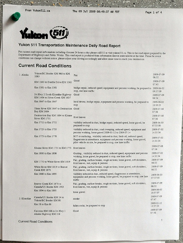
The daily road report is posted in the foyer--where everyone, guests included, is asked to take off their muddy footwear.
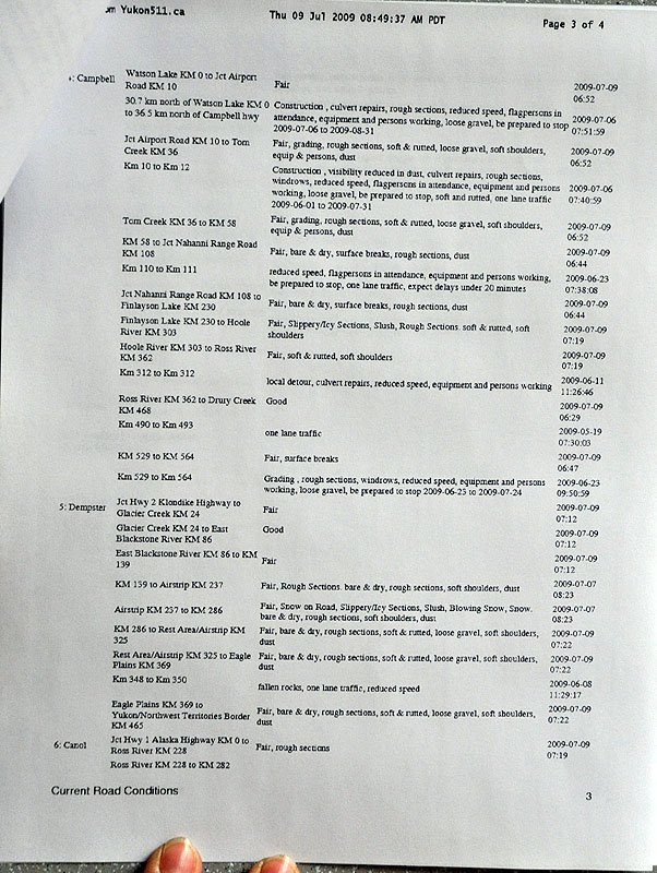
Page 3 of the road report gives the details on the Dempster Highway. Note that there was snow on the highway just before we left Dawson.
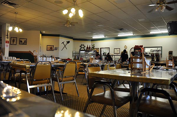
The dining room at the Eagle Plains Hotel wasn't just nicer than we expected, the prices were more reasonable than we expected. The menu was pretty basic, though.
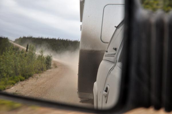
Ever heard the expression "Eat my dust."? Anyone traveling faster than we are has to drive into this dust cloud and get close enough for me to see them before I can pull over & let them by. In the meantime, we drive down the center just like every one else. The road is simply too narrow to drive on one side at any normal speed.
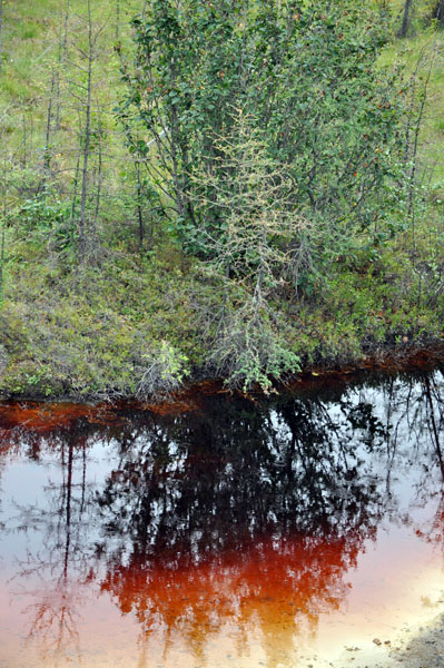
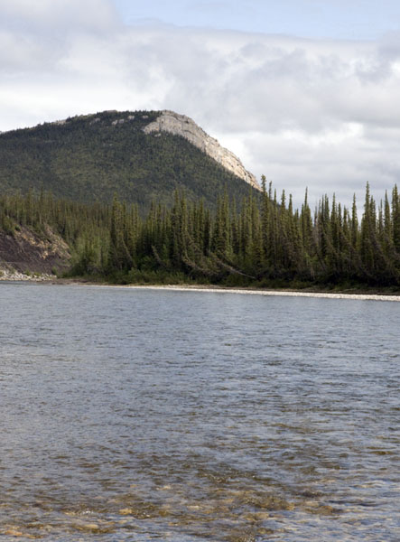
This shows the deep coloring of some of the streams because of the iron content of the rocks.
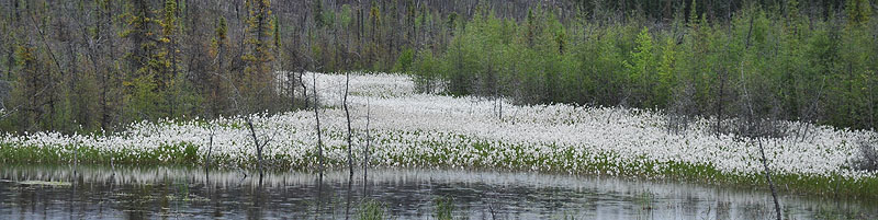
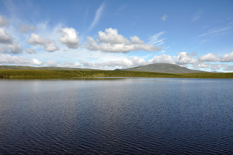
A whole field of those fuzzy puffs (whatever they are) on the other side of a small lake.
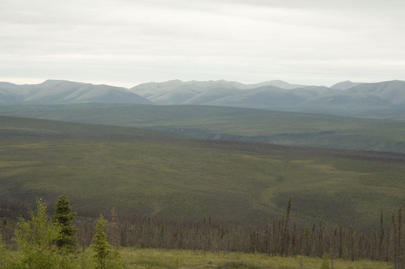
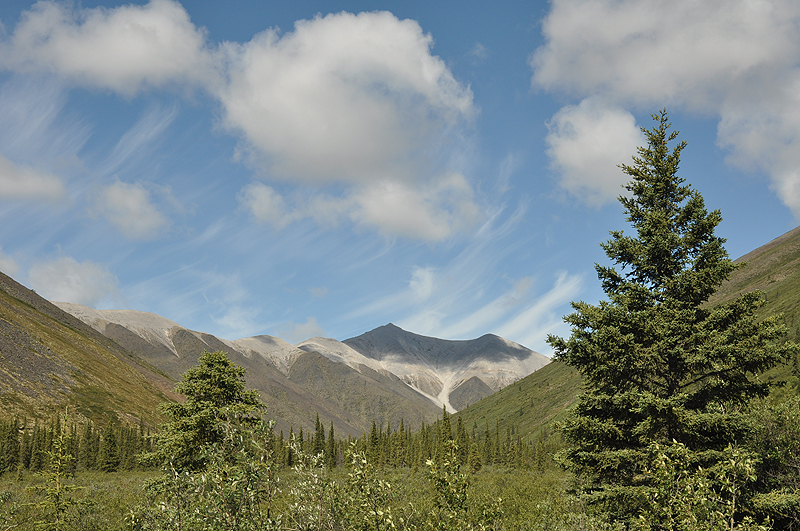
Another subtle & beautiful vista.
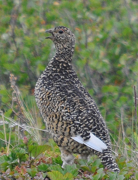
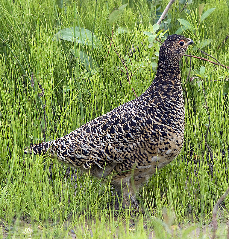
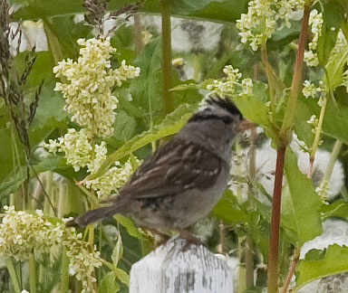
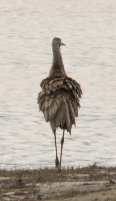
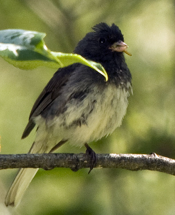
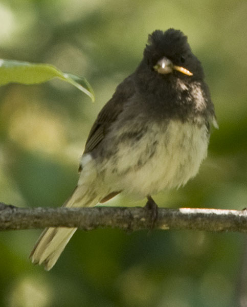
This Willow Ptarmigan wasn't happy with my presence, but I didn't spot her chicks.
Another photo of Ms. Ptarmigan
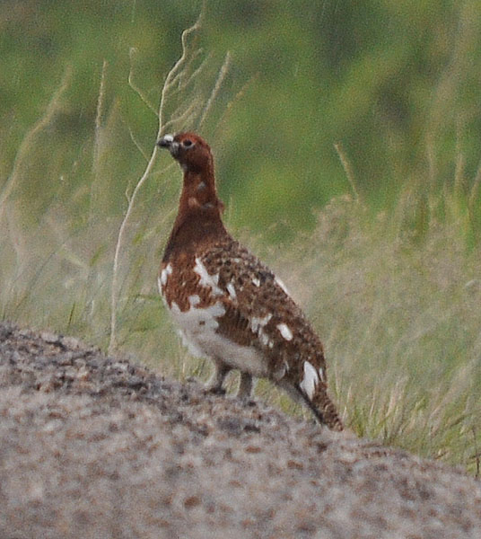
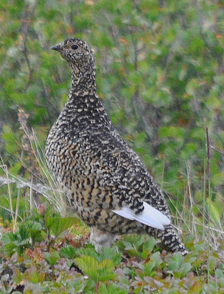
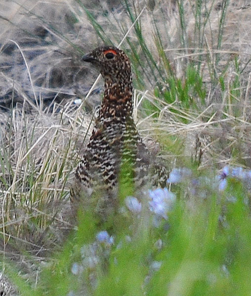
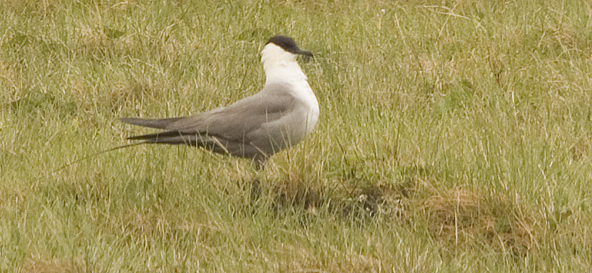
I spotted this male Willow Ptarmigan in his finest breeding plumage on the west side of the road.
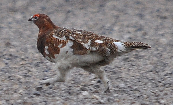
So why did the Ptarmigan cross the road, especially with a potential predator nearby (me)?
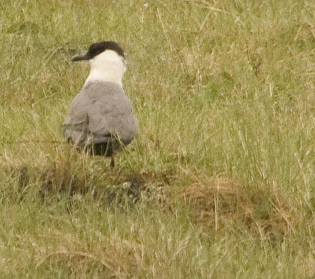
After he crossed, I snuck up and caught this photo of the female Ptarmigan on the east side. Interestingly, she crossed over to the west side as I was taking photos of her. Note: I was too far away & too busy getting these photos to realize that I was taking photos of two different birds. It wasn't until I processed them later in the evening that we figured that out.
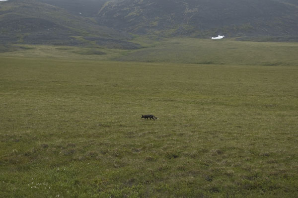
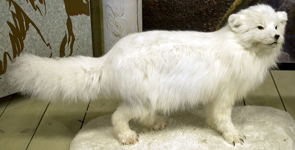
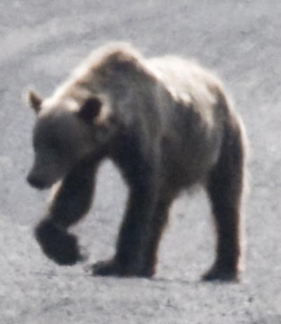
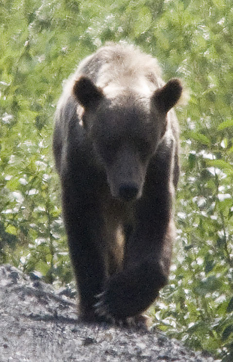
We spotted this Red Fox looking for dinner about 100 yards from the highway. The photo above is as close as CJ could get with her D70s & 18-55mm lens.
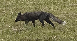
The same photo as above, but cropped in tight & sharpened a bit.
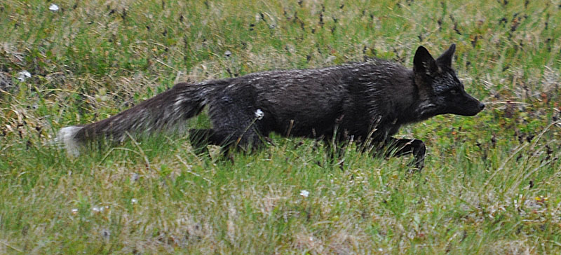
My D90 & Sigma 150-500mm zoom gets in a lot closer, although sharp images are anything but easy with the long lens. Focusing accurately is so difficult, especially when the subject is moving.
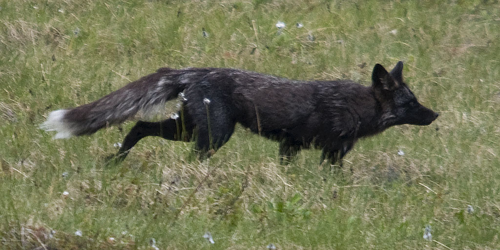
Another shot of the Red Fox. BTW, Red Foxes have 3 phases. This is the black phase (duh!). They also have a red phase and a mix phase.
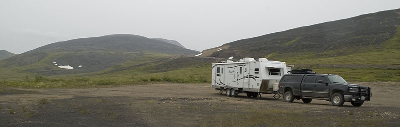
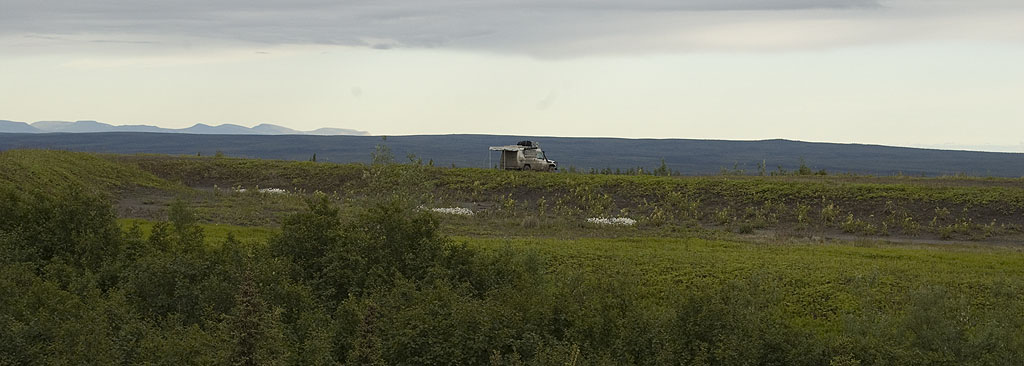
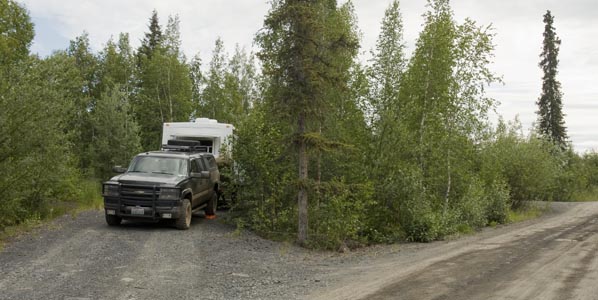
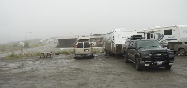
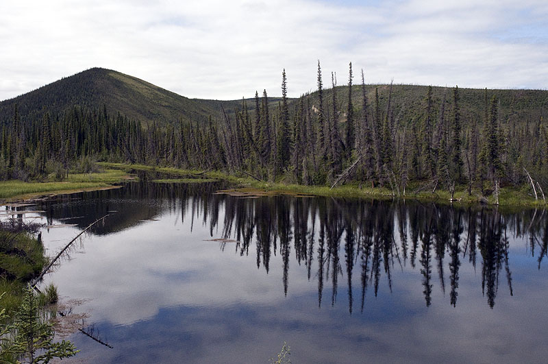
Our campsite in the middle of nowhere off the Dempster Highway. Just around that bend in the road behind the trailer is the Yukon/Northwest Territories border.
The impending storm. We had heavy rain and 40 knot winds all night. Small rivers formed in the gravel & the coach shook all night even though the stabilizers were down hard & we'd brought the slides in.
July 10th - Dempster Highway from the Arctic Circle to Vadzaih Van Tsik Campground [top of page]
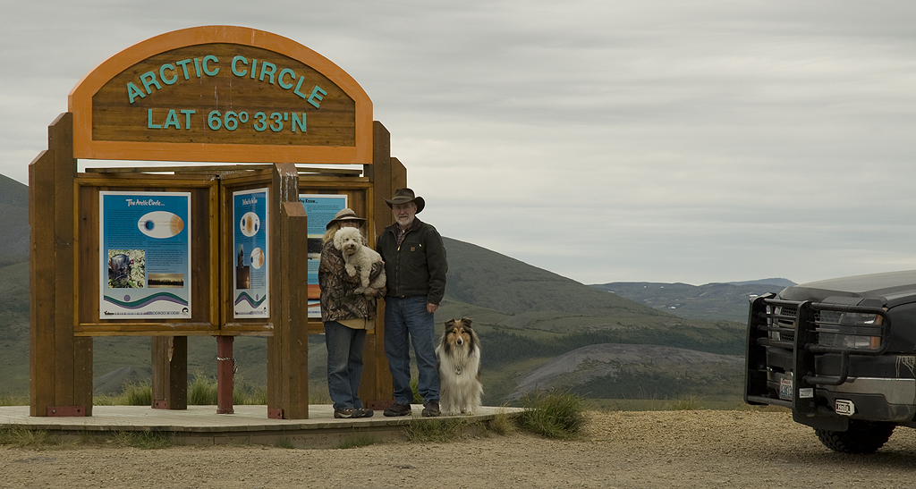
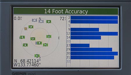
There it is - the Arctic Circle waypoint at Wright Pass. It's also the Continental Divide and the border between the Yukon & Northwest Territories.
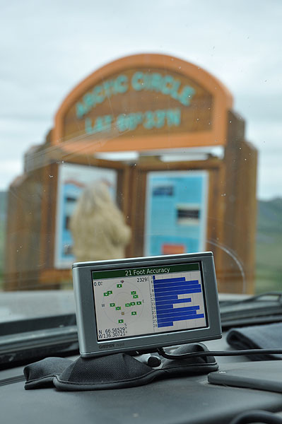
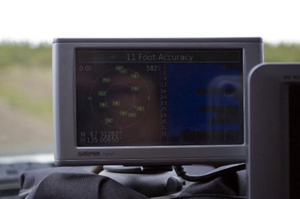
It's not easy getting the GPS & Arctic Circle sign in focus at the same time.
We'd bought a radio remote shutter for my Nikon specifically for this photo op. It has a 150' range so it's a lot better than a short cord or a 10-second timer. Of course, it will also work great at home for wild life photos.
Here's the version of the photo that shows we drove all the way here instead of cheating by flying.
One of several interpretive signs at the Arctic Circle / Continental Divide / Yukon - Northwest Territories Border
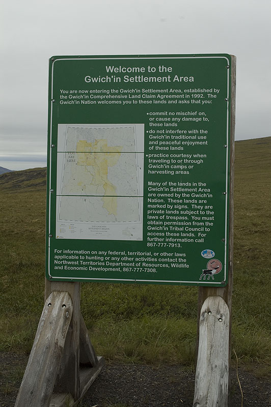
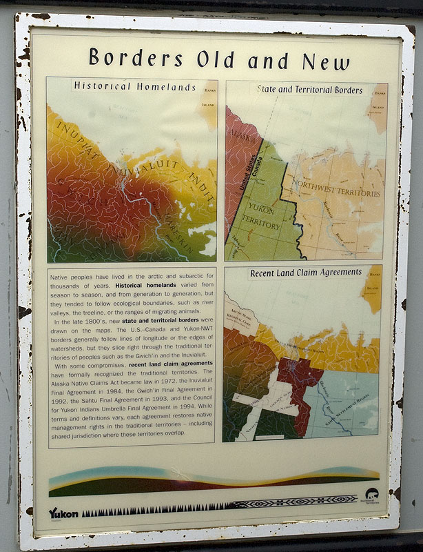
This sign informs travelers of the fact that the Qwich'in own this land.
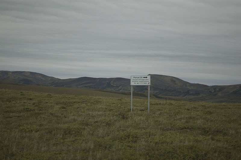
An example of the parcel signs delineating the Gwich'in parcel boundaries.
What goes up, must go down. In this case, it's down a 12% grade. It's a slurry of mud and gravel, only more mud than gravel. And it's heavily rutted from big rigs in places. VERY interesting to drive a truck pulling a trailer down it as the truck & trailer keep swapping who's turn it is to drive in one of the ruts. Oh, it's not possible to avoid the ruts because those bid rigs don't drive in a straight line in this stuff either.
This photo shows the washboard ripples in the road.
Of course, just when we started thinking we'd gotten past the tough stuff, it gets really nasty. The turns in those tire tracks are because the mud is VERY slippery.
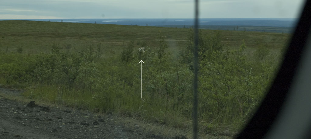
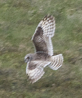
It's not often we see an owl in broad daylight, but the Short-eared Owl is unusual because it hunts in open fields broad daylight. This is the photo that CJ got through the windshield while I was stopping the truck.
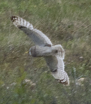
I caught this image when the owl banked left and then right. Unfortunately, he kept going further away - rather typical behavior of most wildlife.
Not all of the mud gets thrown onto the trailer. Some finds its way onto the windshield. So, when you see a blurry spot in one of the photos that CJ took through the windshield, it could be a bug or it could be mud.
A young couple from Sweden in their Toyota Land Cruiser drove past our campsite last night and found this one on a bluff a hundred yards off the road. We talked to them later and they said that we could have gotten in there that afternoon before the rain, but getting out after the rain wasn't easy.
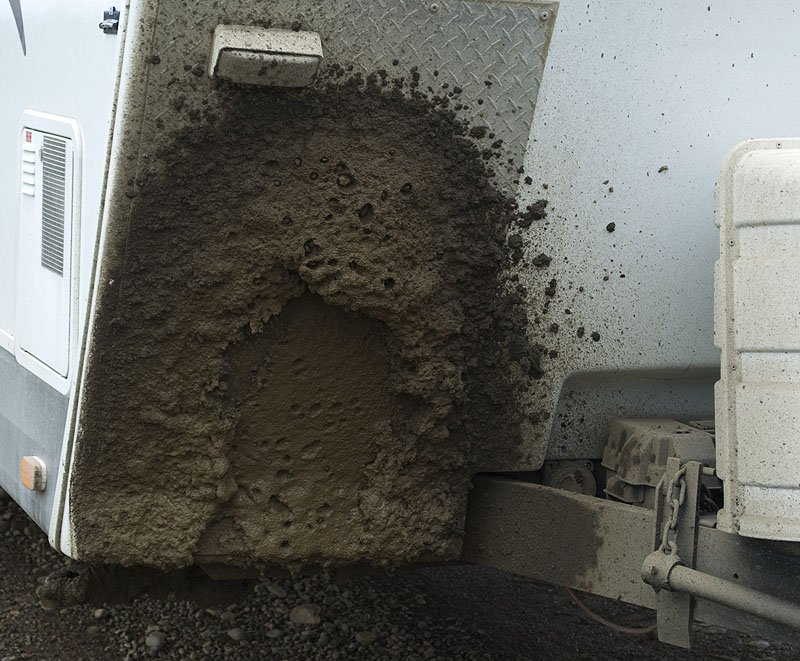
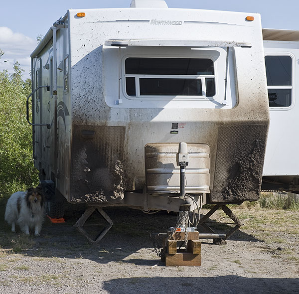
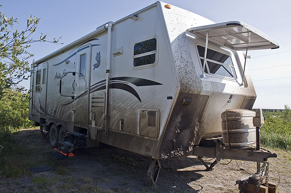
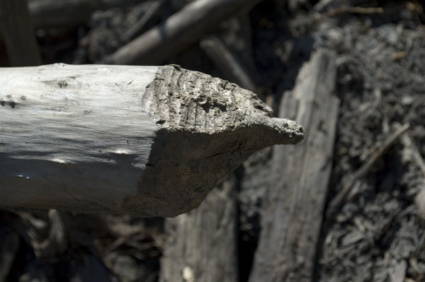
A photo of the mud and gravel deposit on the front of the trailer. As you can see, the aluminum diamond plate we added to protect the front cap was perfectly sized and placed. The size of the gravel pock marks in the mud demonstrate the kind of damage that the gravel would have done to the fiberglass.
Something weird about driving on the Dempster north of the Arctic Circle - the GPS shifted to night illumination. Once we got to Inuvik, it shifted back to daytime illumination. BTW, it did the same thing on the way back to Dawson.
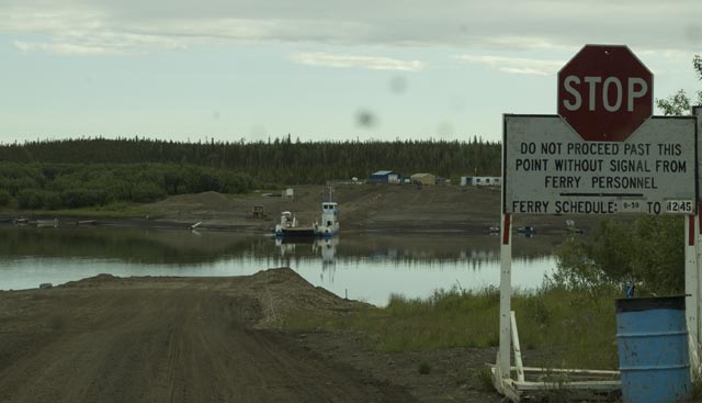
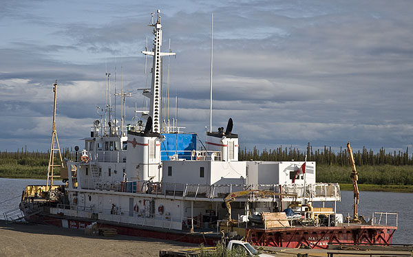
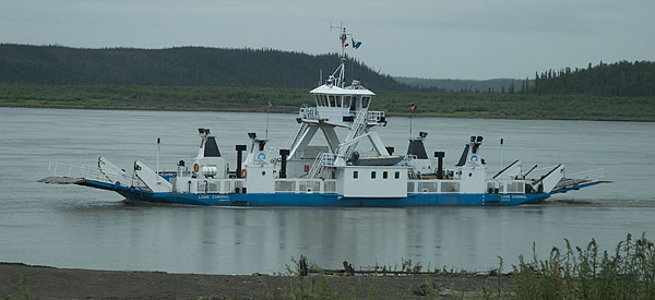
We had to cross this cable ferry at the Peel River. A cable ferry crosses back and forth by pulling on a cable; a much simpler & less expensive ferry that doesn't require much skill to operate compared to a regular ferry.
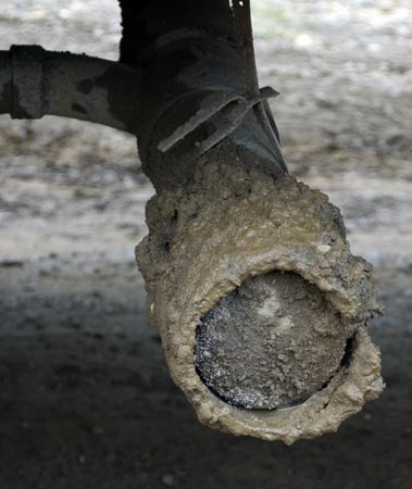
The rubber hose we wrapped around our sewer pipe & cap does the job of protecting it from the barrage of gravel and mud.
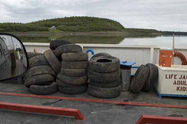
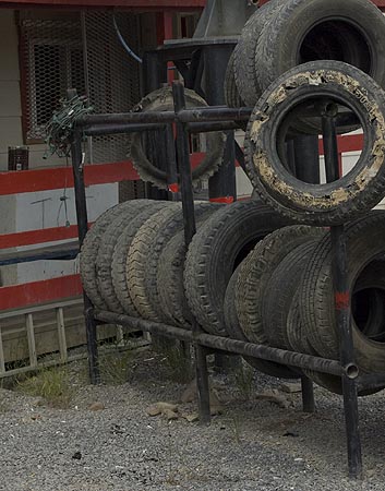
A collection of dead tires on the Peel River ferry. Why were they on the ferry? We didn't get a chance to ask.
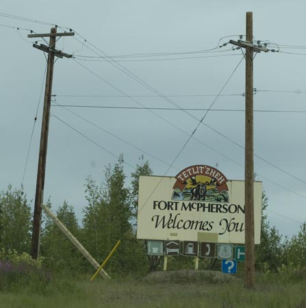
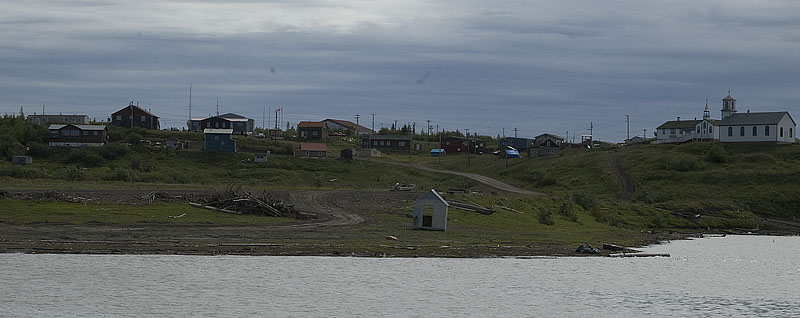
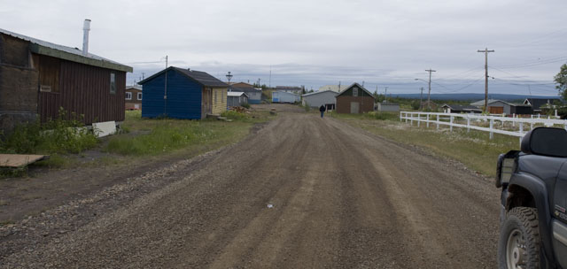
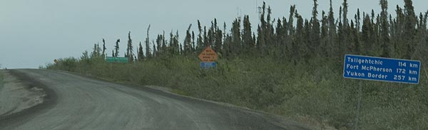
We were told that Fort McPherson has the best fuel prices, so we stopped here.
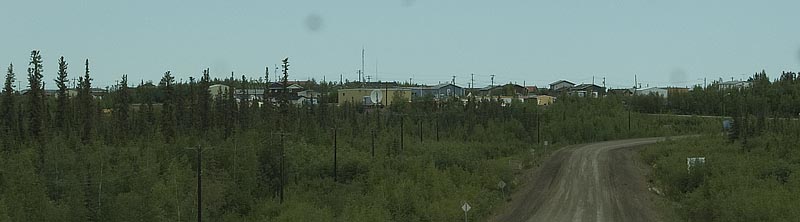
A view of Fort McPherson from the Dempster Highway.
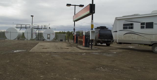
The fuel stop at the Fort McPherson COOP isn't the cleanest place, but the fuel was almost $/gallon cheaper than any where else.
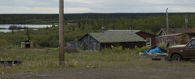
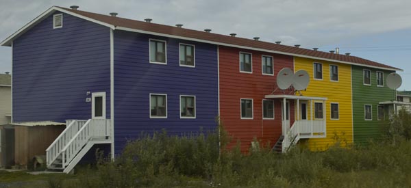
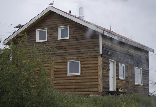
One of the homes at Fort McPherson. Note the Husky on the dog house.
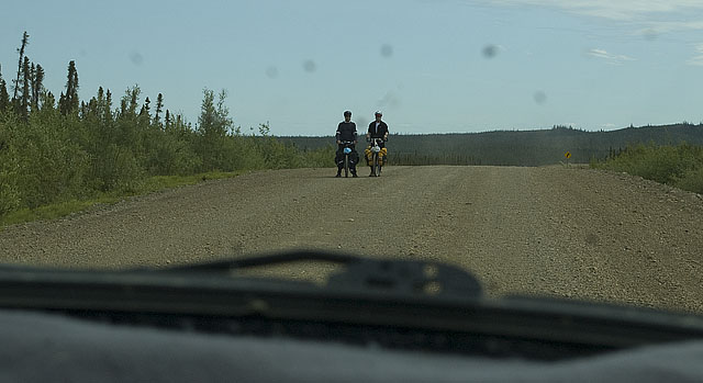
Meals on Wheels. Not very many folks ride their bikes to Inuvik, but we saw a couple of them. These guys stopped and watched us approach. We slowed to a crawl so we wouldn't pelt them with gravel or cover them with our dust.
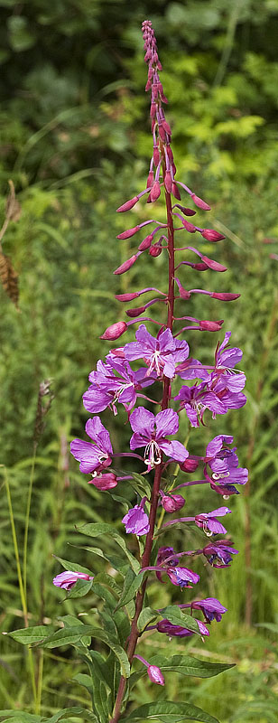
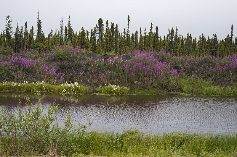
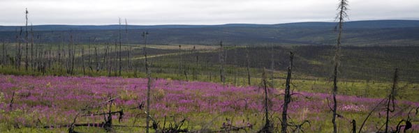
CJ enjoyed taking a few artsy photos. Here's one of fireweed.
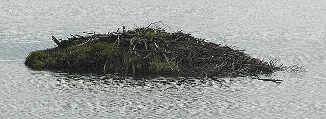
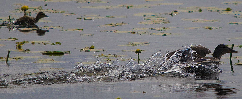
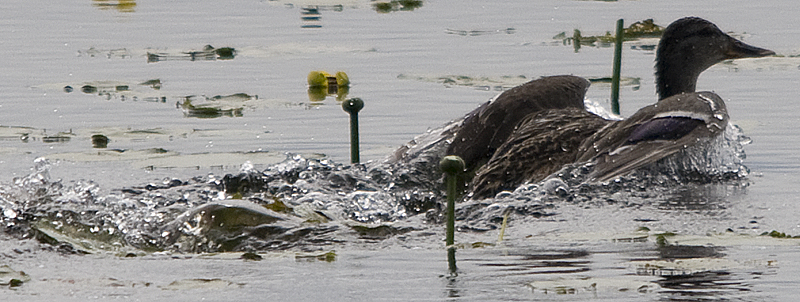
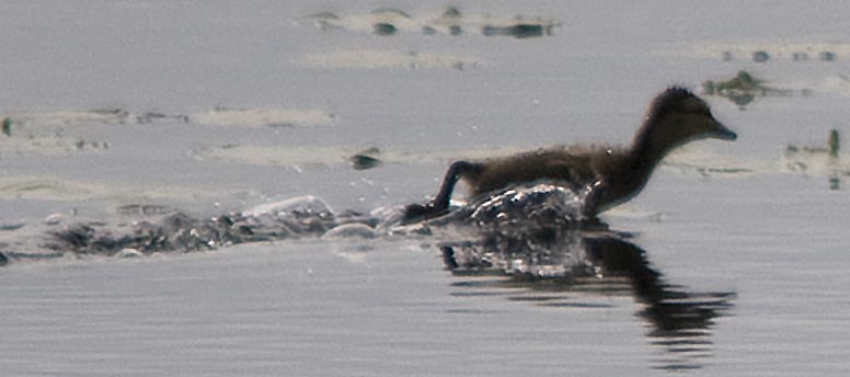
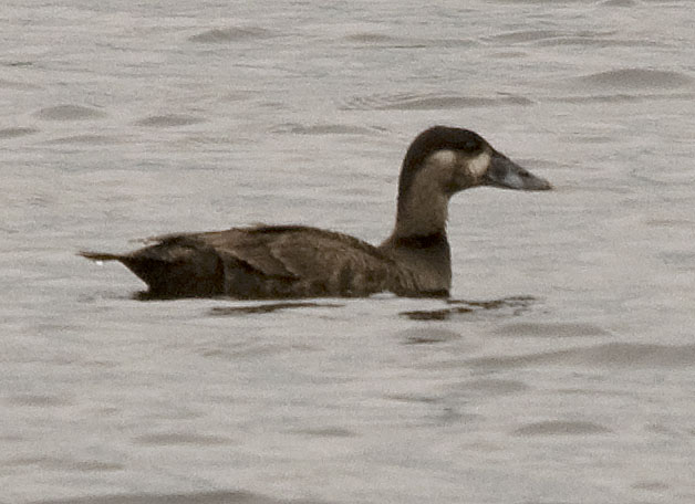
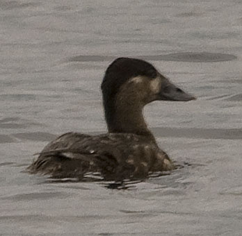
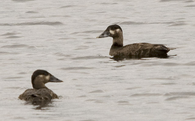
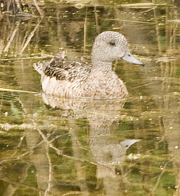
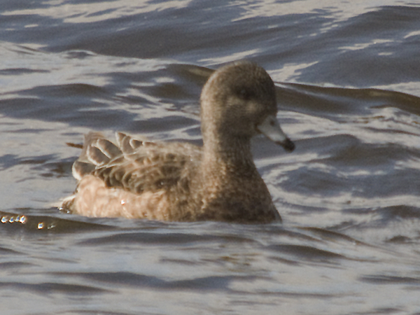
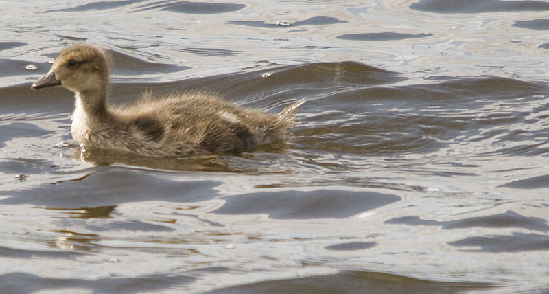
We stopped on the side of the highway so I could take photos of some ducks. This beaver lodge was right out the side of CJ's window, so she took several photos of it. This one is her 'normal' photo.
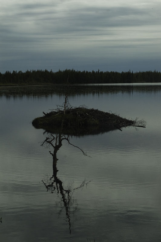
This one is her artsy photo
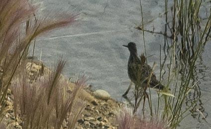
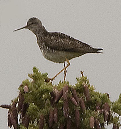
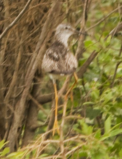
As she was taking photos of the beaver lodge, this Lesser Yellowlegs Sandpiper strolled by.
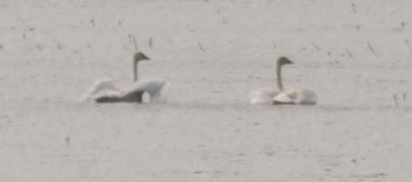
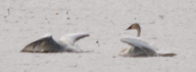
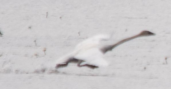
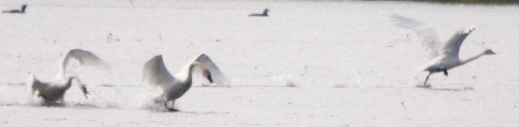
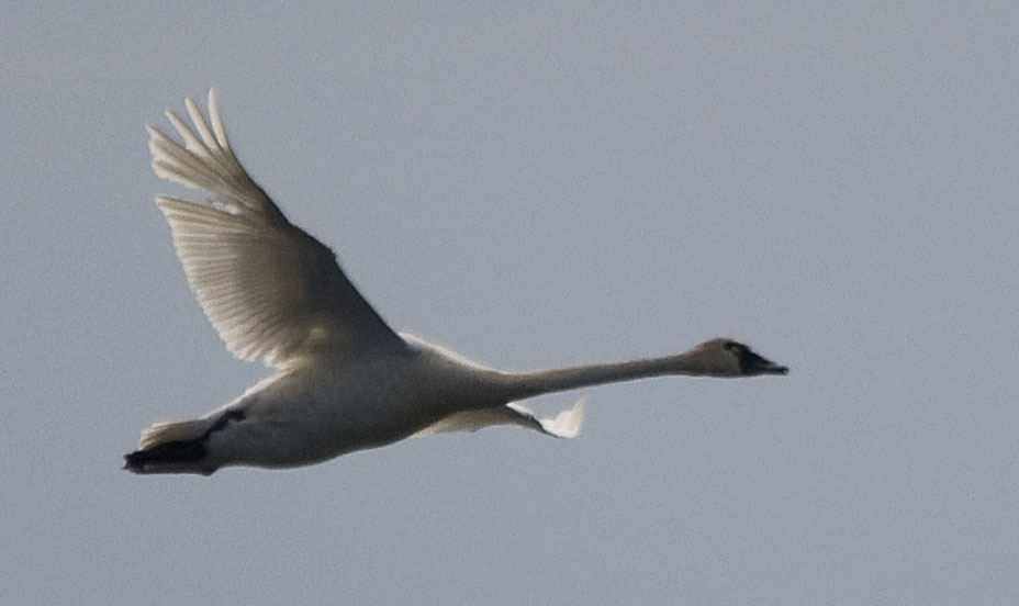
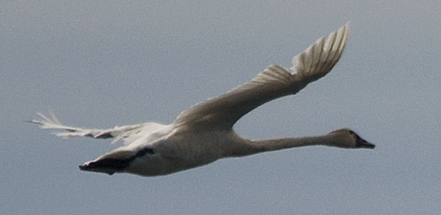
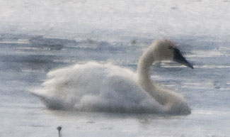
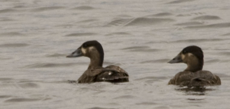
While I was taking photos of the ducks on this side of the lake, a highway worker who'd stopped pointed out the Tundra Swans on the far side of the lake. These photos aren't very good, but they were so far away you could hardly see them with the naked eye.
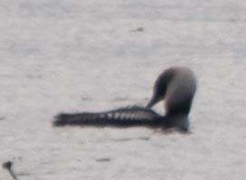
While processing the photos of the swans, I discovered this Arctic Loon in one of them.
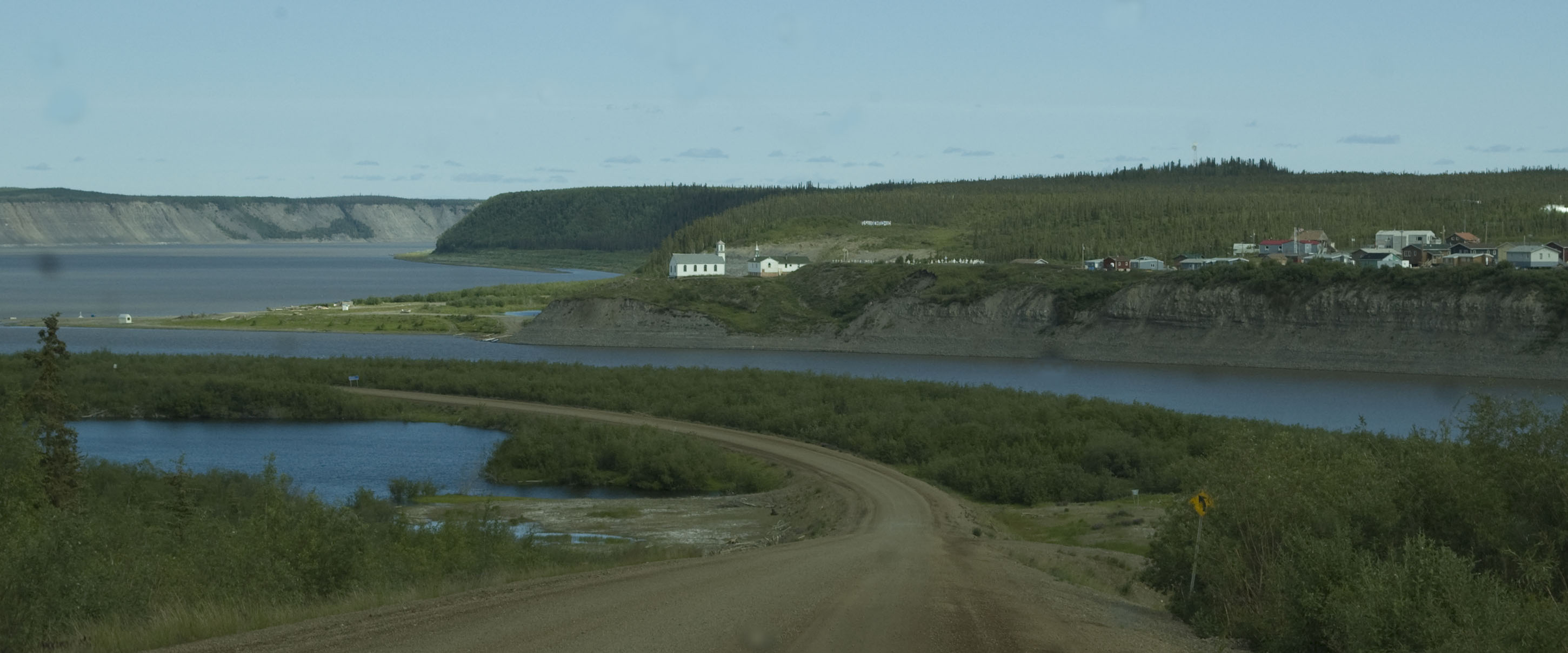
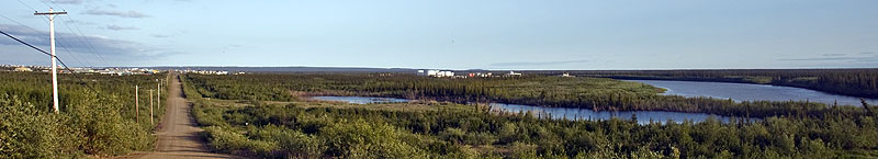
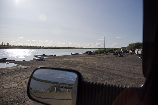
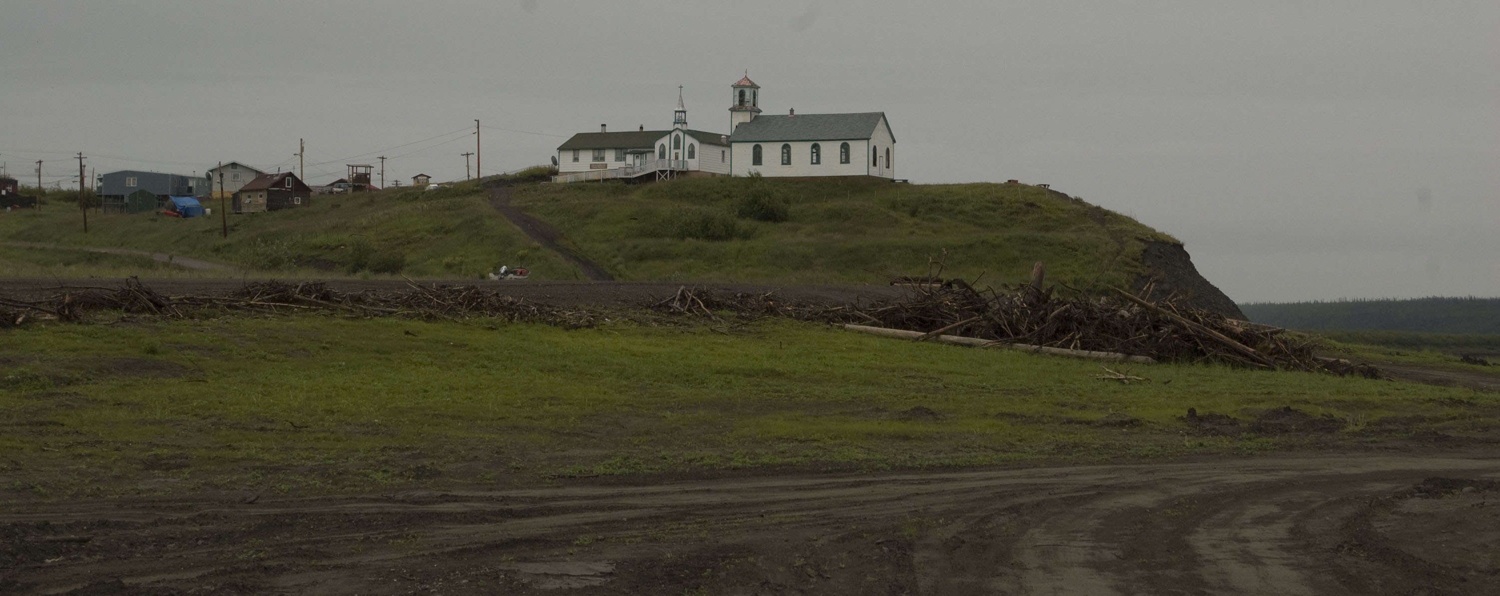
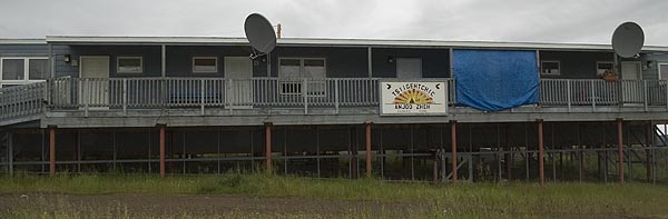
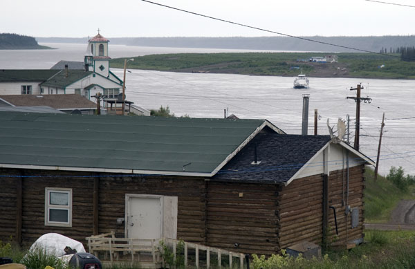
A panoramic view of Tsiighetchic and the ferry crossing at the Mackenzie River
Another view of Tsiighetchic from the ferry.
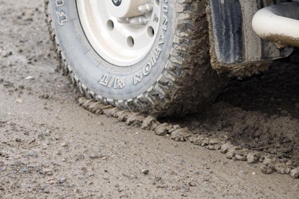
This photo shows the condition of the road. Not only is this stuff messy and slippery, it takes a lot of power to push 8 tires carrying nearly 3,000 pounds each through this stuff.
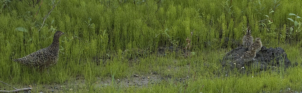
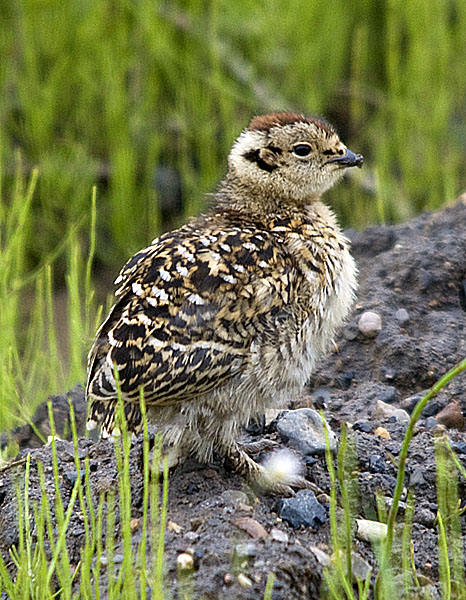
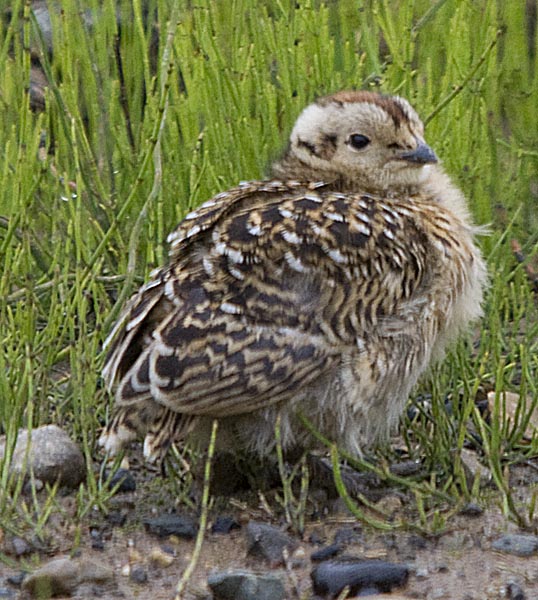
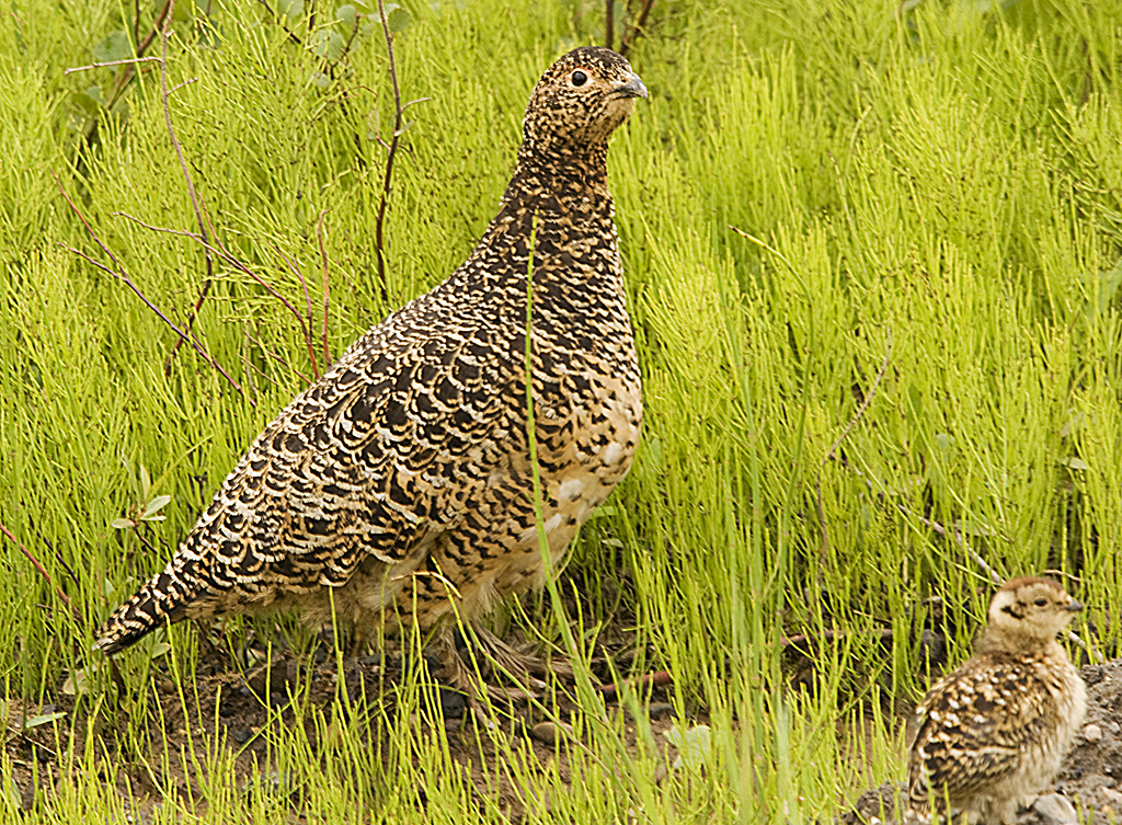
Another Willow Ptarmigan, but with 3 of her 4 chicks.
A nice photo of momma Ptarmigan
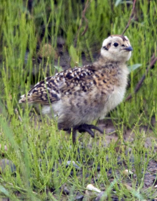
Each chick seems to have its own personality that comes through in the photos.
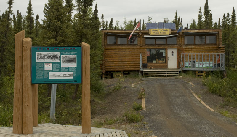
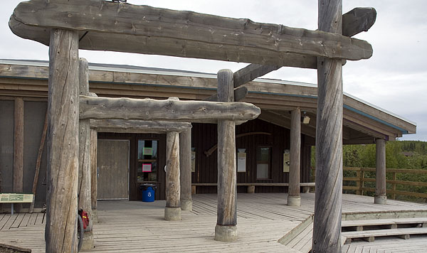
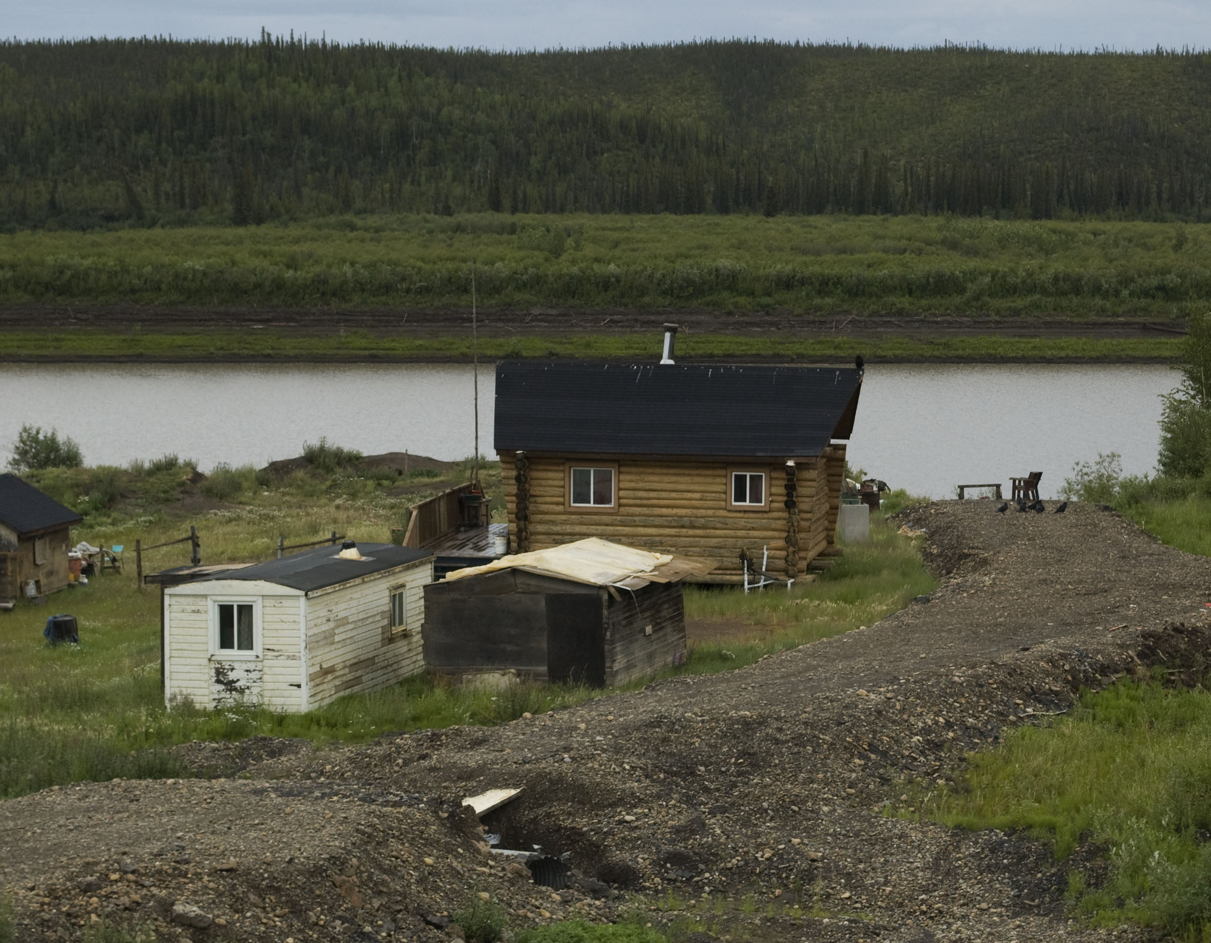
Most campgrounds in both the Yukon and Northwest Territories are not staffed, but run on the honor system. The campground at Vadzaih Van Tsik Park follows that practice, too, but it has a very nice visitor center that is staffed by volunteers. .
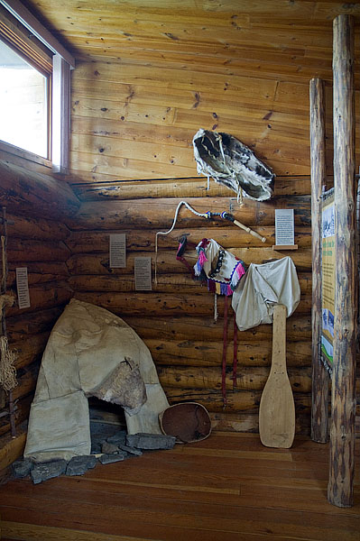
One of several interpretive displays at the Vadzaih Van Tsik visitor center. In addition to the displays, they had a couple of sofas and chairs and hot coffee. Since it was a damp & cool day, the visitor center seemed to be THE place to hang out for the younger crowd that travels in cars and sleeps in tents.
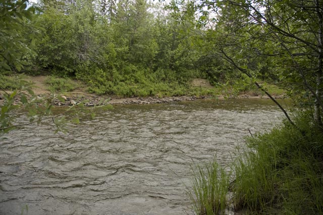
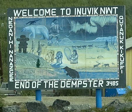
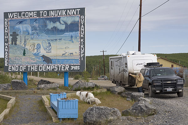
July 11th - Dempster Highway from the Vadzaih Van Tsik Campground to Inuvik [top of page]
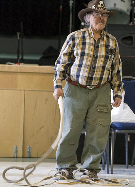
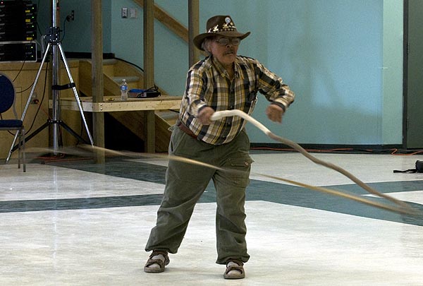
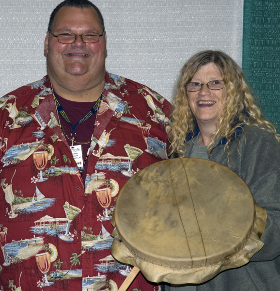
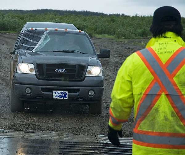
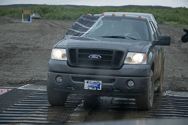
photogallery/alaska_2009/leg_06/2009-07-11_inuvik/DSC_7288_rawhide_whip_video.AVI
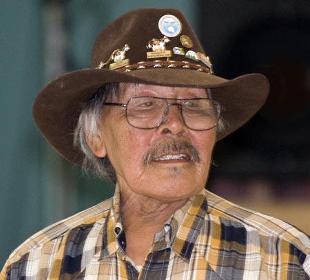
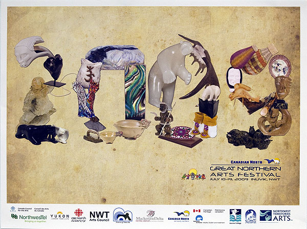
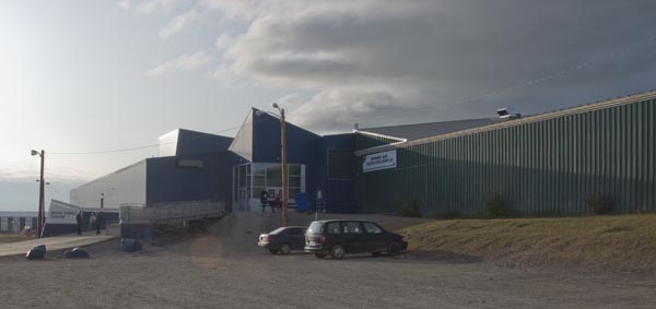
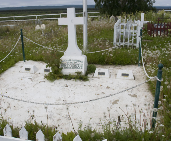
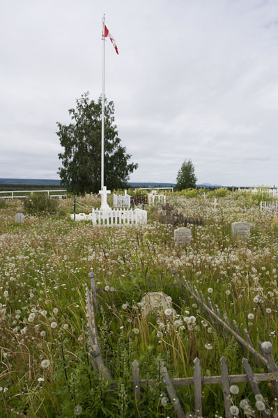
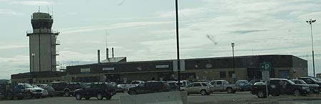
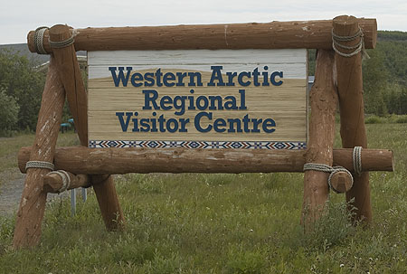
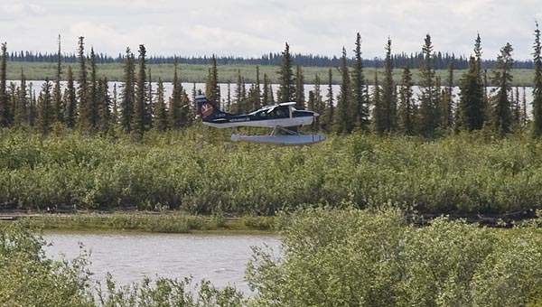
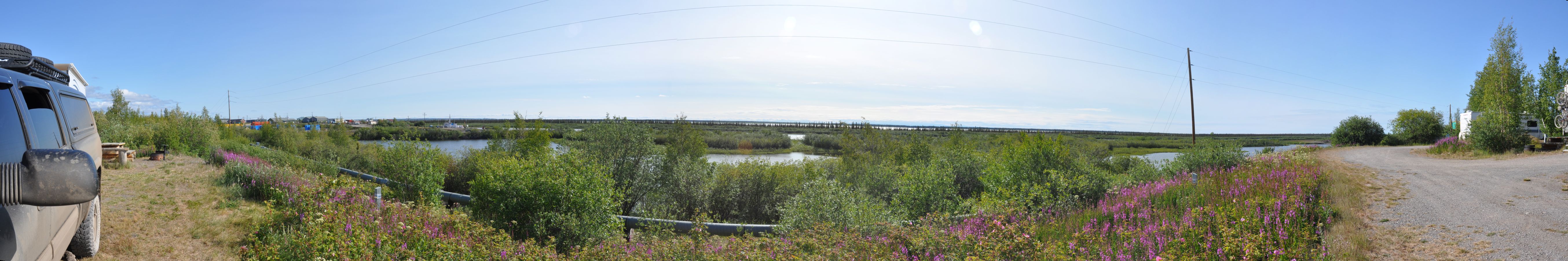
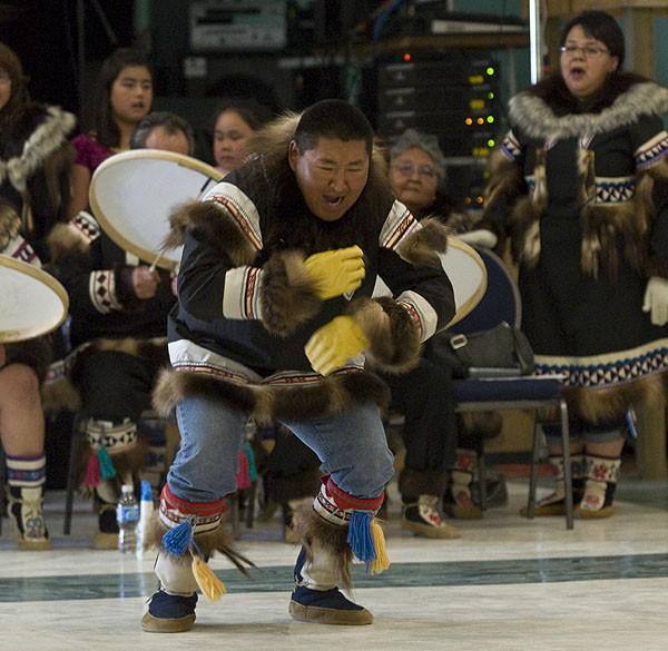
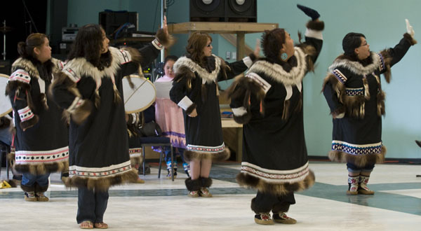
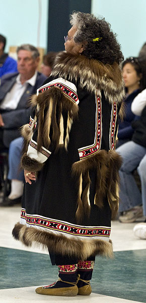
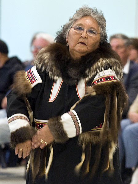
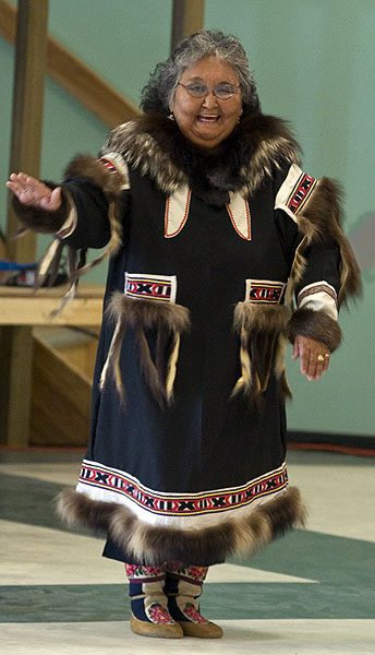
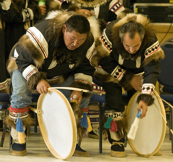
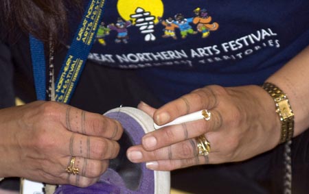
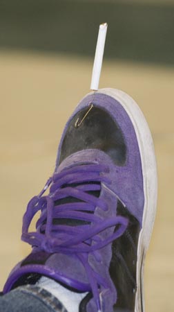
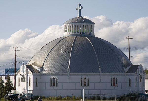
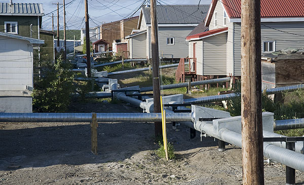
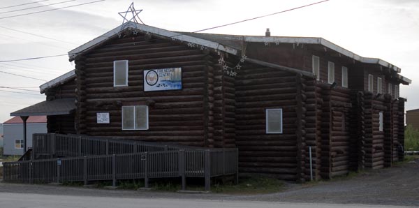
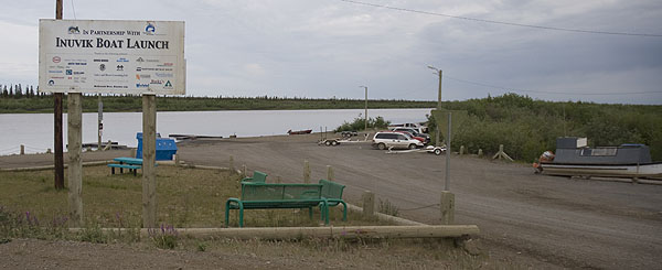
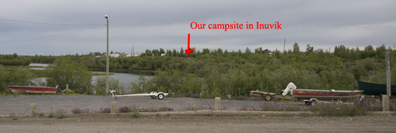
July 12th - Inuvik [top of page]
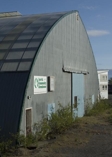
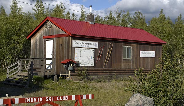
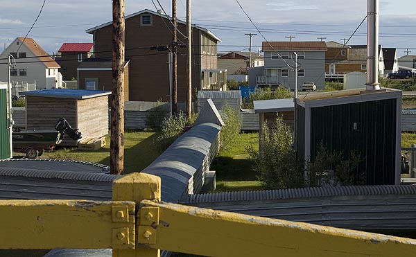
July 13th - Inuvik [top of page]
July 14th - Dempster Highway from Inuvik to Eagle Plains [top of page]


July 15th - Dempster Highway from Eagle Plains to Yukon River Campground [top of page]

July 16th - Yukon River Campground [top of page]
July 17th - Klondike Highway back to Dawson City [top of page]